The Weather on the 1s team is tracking a relatively weak low pressure system tracking over the eastern Carolinas.
That will bring rain to much of the state through Thursday.
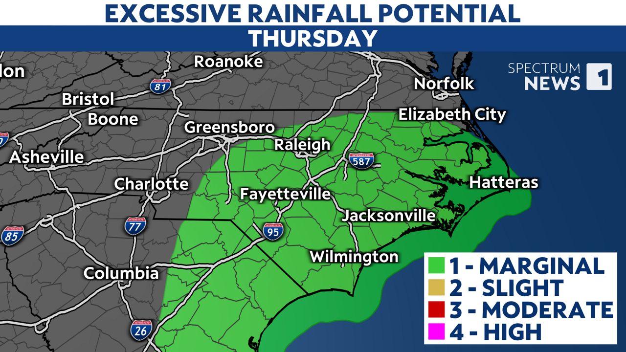
Locations closest to the coast will likely see the heaviest rain with 1 to 3 inches possible. That could lead to localized flooding.
Coastal areas will be a bit breezy with the rain as gusts reach up to 25 or 30 mph.
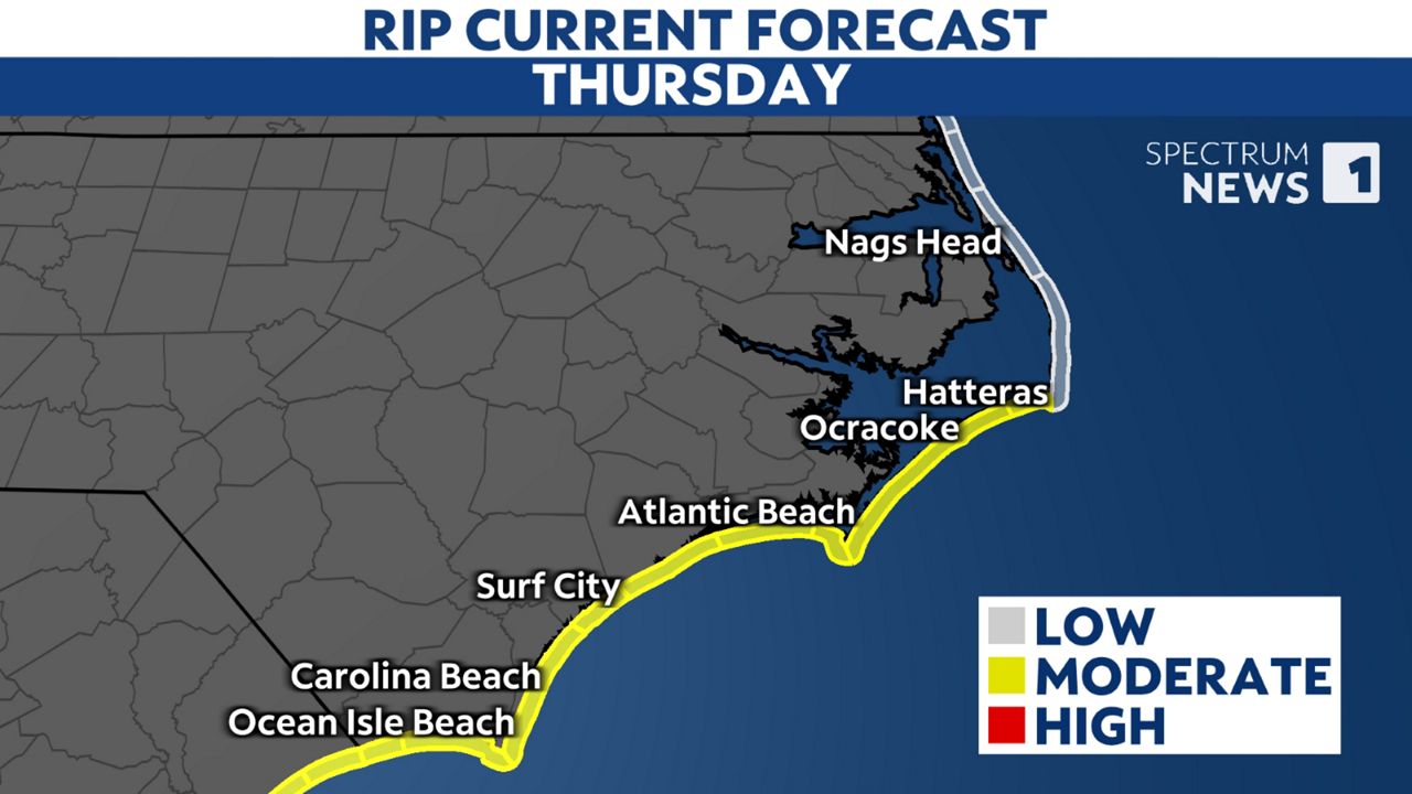
The system is also creating a moderate risk for rip currents at most beaches south of Hatteras today.
Much of central North Carolina should see around 0.5 to 2 inches of rain through Thursday while western North Carolina see little to no rain in some locations.
Get the full forecast of areas around the state: Charlotte | Triad | Triangle | Coastal | Mountains