


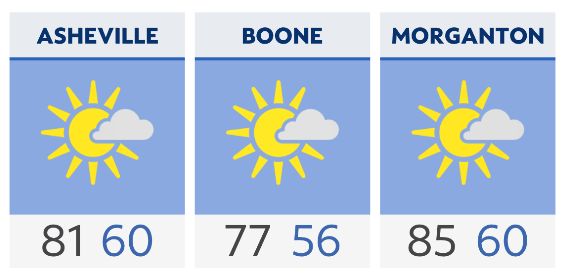
A warm and quiet weather day will unfold around the region today with highs in the 80s for most. We will continue to have lots of wildfire smoke high overhead at times, but so far, that smoke has remained aloft and not at ground level. That should largely continue to be the case.
An area of low pressure is likely to spin up around the Bahamas or the Atlantic coast of Florida over the next day or two, and that low will then likely move somewhere near the Carolina coast by Thursday.
At this point, the odds of this becoming a tropical depression or storm are low, but there will be some rain move into at least the eastern parts of the Carolinas by Thursday. How far west that rain makes it remains to be seen, but we will certainly see some clouds in our part of the state and I have tossed in some small shower chances Thursday. We will adjust as necessary.
Friday looks warm and mainly dry, and then scattered shower and storm chances ramp up for the weekend.
Check radar and the latest 7-day forecast | Share your weather photos