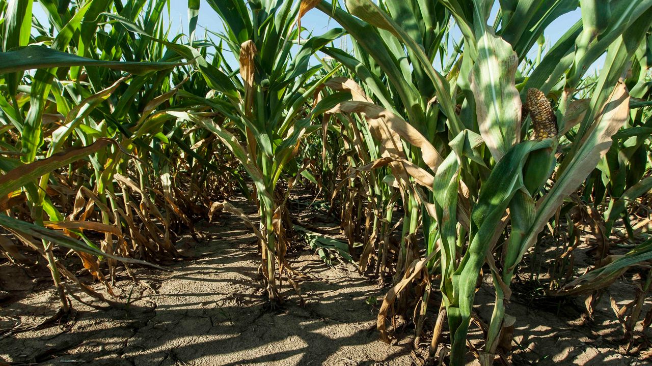
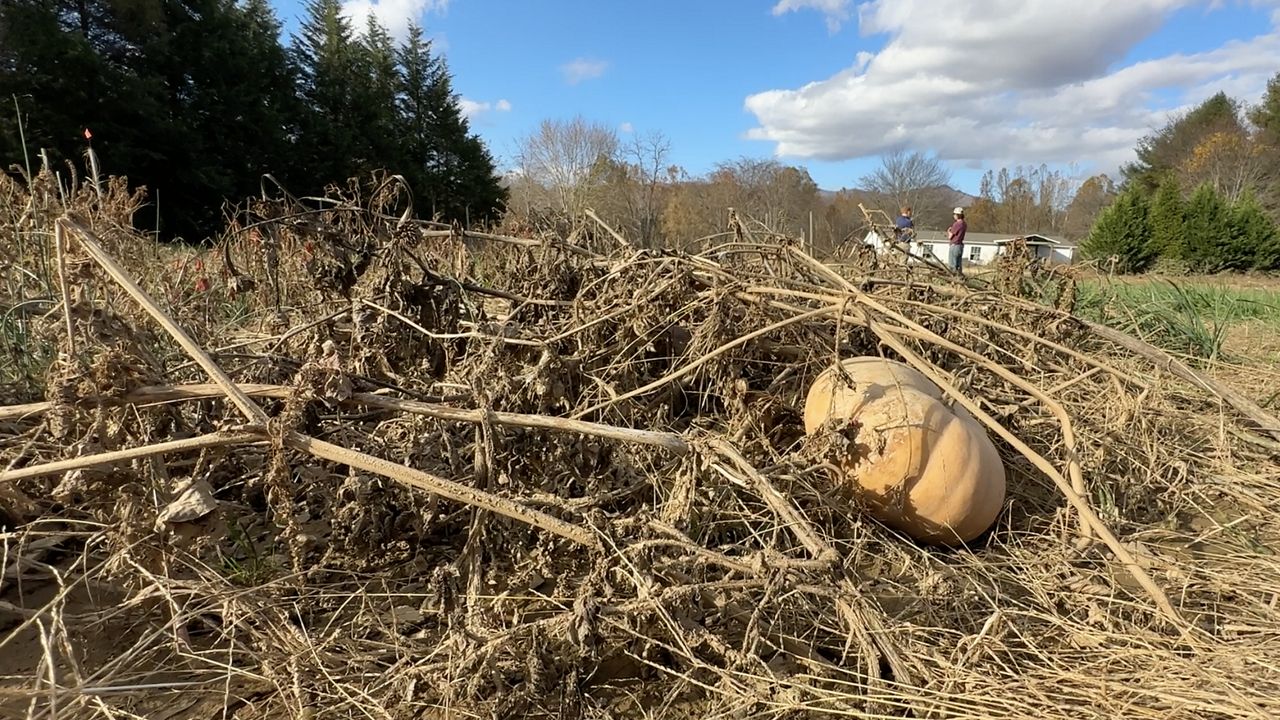
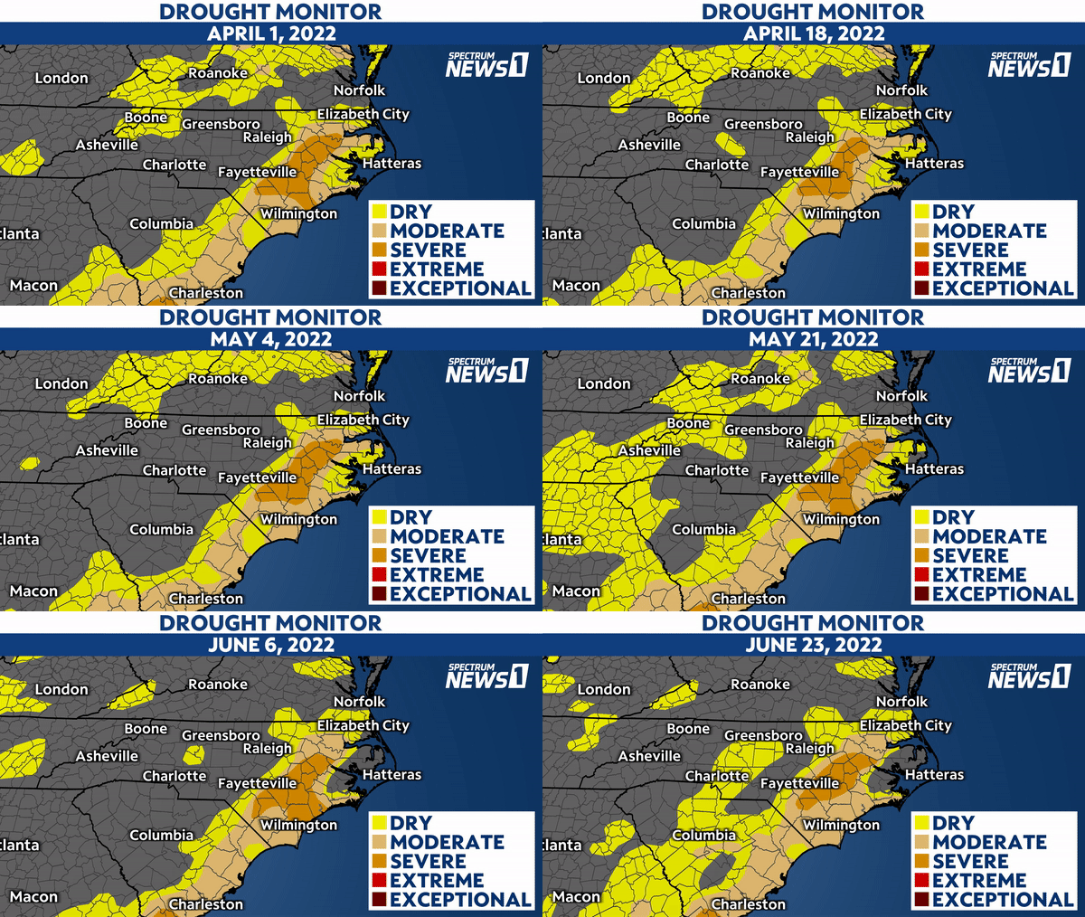
As of Thursday morning, North Carolina is dealing with a developing drought, having seen conditions worsen gradually since the middle of February.
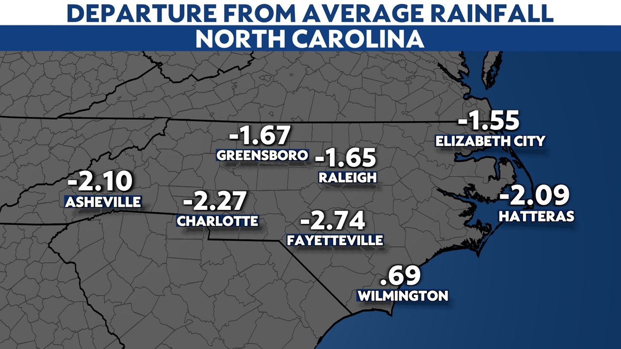
Despite recent thunderstorms, abnormally dry or worse conditions currently cover more than 65% of North Carolina. Thunderstorms have been scattered lately and have only provided sufficient rainfall near Wilmington.
We’re facing a severe drought over a small section of Eastern North Carolina just east of Interstate 95. It covers just under 10% of the state.
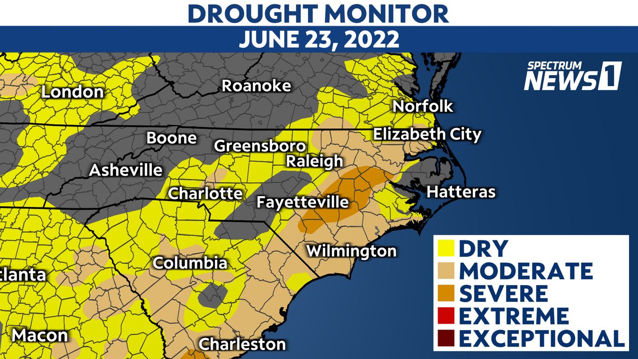
At this point, the drought has been slowly worsening over the last few months and seems to be continuing that trend through the end of the month. However, much of North Carolina typically sees the most significant rainfall of the year during the middle of the hurricane season, which is another couple of months away.
Unfortunately, hoping for a nice steady rainfall from a weak tropical cyclone is unlikely to be realized, as trends have lately shown that tropical systems are more likely to produce too much rainfall than a sufficient amount.
Whether we see a tropical cyclone make landfall or not, the next three months have a 33% to 40% chance to produce above average rainfall over the areas that need it most in North Carolina. The Climate Prediction Center with the National Weather Service released a 3-month outlook showing the odds edging toward a wetter outcome.
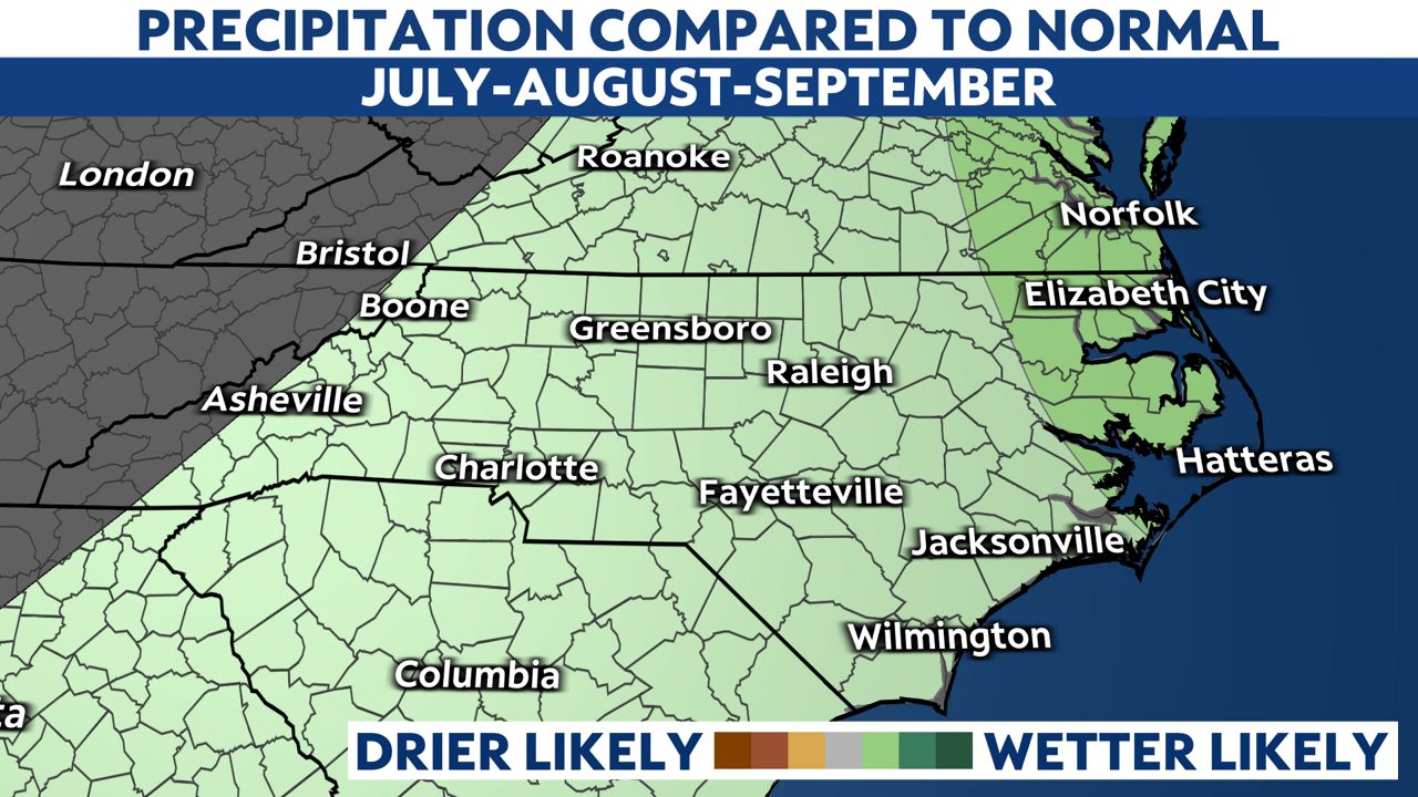
This could end up being from thunderstorm complexes that produce significant rainfall. It’s worth mentioning that just because we are dealing with a drought, flash flooding can still occur from thunderstorms.
Always remember that during a flash flood you should never drive through a flooded road!
Watch Spectrum News 1 for future forecast updates including changes to the drought conditions in North Carolina and the hurricane season.


