We had plenty of good weather days in 2024, but the year will be remembered for its extreme weather in North Carolina.
This year's hurricane season was forecast to be an active one, and the tropics lived up to that forecast.
The most impactful storm for the state was Helene, even though it made landfall in Florida.
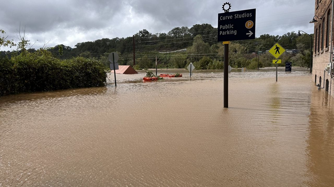
Heavy rain started to fall in western North Carolina well before it came inland along the Big Bend section of Florida's Gulf coast as a category 4 storm. That, combined with the rain from Helene as it tracked across the region as a tropical storm on the morning of Sept. 27, led to an unprecedented amount of rain in some mountain communities. Up to 30" fell in some areas.
The heavy rain falling in the valleys, combined with runoff from the mountaintops, caused historic river flooding including along the French Broad and the Swannanoa. Helene is now the new flood of record for Asheville surpassing the Great Flood of 1916.

The river flooding was not the only aspect of the storm that caused catastrophic damage. Just over 2,000 landslides were reported in the state.

The North Carolina Department of Health and Human Services attributes 103 deaths in the state to Helene. According to the State Climate Office, that makes the storm the deadliest tropical system on record to impact North Carolina. Prior to Helene, that record was held by the flooding of July 1916 that caused around 80 deaths.
Many communities in western North Carolina will need assistance well through 2025 as the long road to recovery continues.
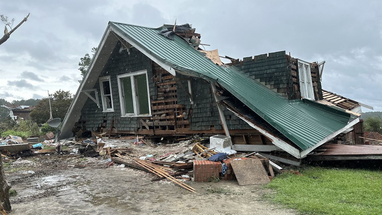
Helene also produced several tornadoes across the eastern Carolinas. The strongest was an EF3 tornado in Rocky Mount.

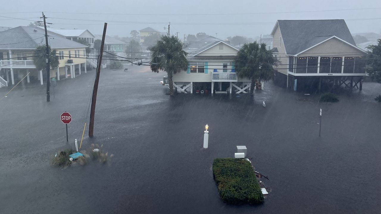
Less than two weeks before Helene, a weaker tropical disturbance approached the southern coast of North Carolina.
It was originally designated as Potential Tropical Cyclone 8. It never developed a well defined center of circulation though, so it was never given a name by the National Hurricane Center.
However, it still produced historic flooding in parts of New Hanover and Brunswick counties. Over 20" fell within around 12 hours at Carolina Beach on September 16.
Numerous roads in the area were washed out due to flooding.
Earlier in the year, another system left its mark on North Carolina.
Hurricane Debby made landfall along Florida's Gulf coast in early August. The remnants of the system eventually tracked across North Carolina, producing just over a foot of rain in southeastern parts of the state.
The storm also spawned 10 tornadoes in North Carolina including an EF3 tornado in Wilson County in the Lucama community.

Along with the EF3 tornado in Rocky Mount from Helene, there have now just been four EF3 tornadoes on record in the state from tropical systems.
North Carolina has a long history of impactful tropical systems in the state. However, there is a clear trend in extreme weather events happening more frequently here and around the world linked to the warming climate.
As the planet heats up due to increased greenhouse gas emissions, the warmer atmosphere can hold more moisture.
Spectrum News 1 spoke with Carl Schreck, senior research scholar with the North Carolina Institute of Climate Studies, earlier in the year. He told us how climate change likely impacted Helene's rainfall. "Something like 20 or 30% of the rain that fell was associated with the warming atmosphere. It would have still been a disaster anyway, but it would not have been the scale that we saw," Schreck said.
The year 2024 will be one of the top five warmest years on record for many weather reporting sites in North Carolina. It will be warmest for Asheville, Raleigh and Wilmington.
Our team of meteorologists dives deep into the science of weather and breaks down timely weather data and information. To view more weather and climate stories, check out our weather blogs section.


