Meteorological winter seemed to reach both ends of the extreme this go-around with the fourth-warmest December since 1895 for North Carolina, only to be followed by one of the snowiest Januarys in over 20 years for some parts of the state.
When we think of winter, we think of cold temperatures and snow or ice coming to wreak havoc on our holiday planning or morning commute. This winter, we had a mild start only to deal with frequent snow and ice in January.
One of the first rounds of snow came in the first week of January, which produced snowfall in the mountains but gusty winds and severe weather in eastern North Carolina. We had two tornadoes confirmed in Harnett and Sampson counties on Jan. 3.
NWS Damage Survey for 01/03/2022 Harnett County Tornado Event. #ncwx pic.twitter.com/XShqTq8KW2
— NWS Raleigh (@NWSRaleigh) January 4, 2022
NWS Damage Survey for 01/03/2022 Sampson County Tornado Event. #ncwx pic.twitter.com/jyHXiqz979
— NWS Raleigh (@NWSRaleigh) January 6, 2022
These produced minor damage, but the rest of the area sustained strong wind gusts. After a brief lull in the action, we endured two more weeks with weekend winter weather.
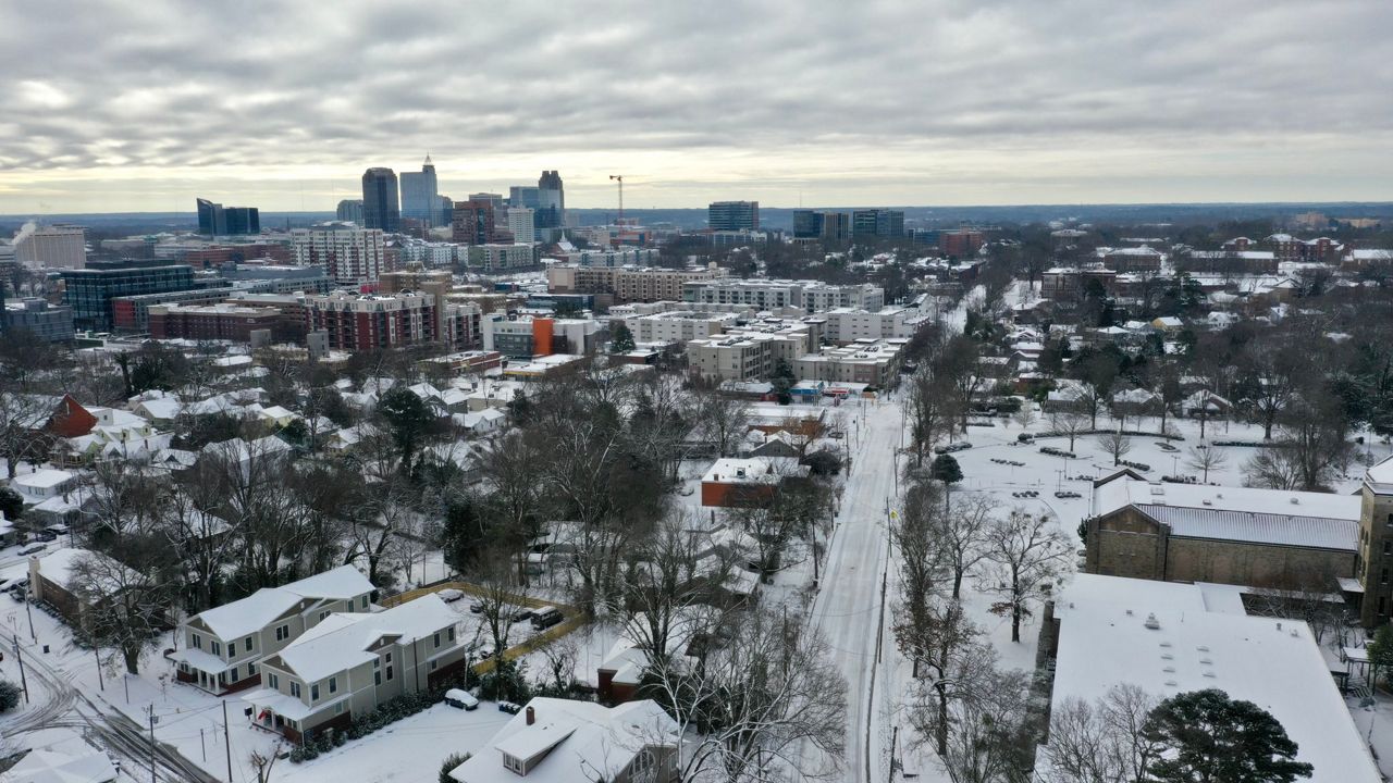
The first system came through on Jan. 16, sending a significant amount of snowfall to western parts of the state, with ice to the east and two inches of rainfall to parts of the coast. For cities like Charlotte, this was the first time in more than three years that there had been at least an inch of snow on the ground from a single system, with 2.2 inches of snow underneath a thin layer of sleet.
Another notable total from that storm was the 20 inches of snow at Beech Mountain, the most in a single day there since 24 inches on March 21, 2001.
The next system arrived on Jan. 21 and continued into the following day. This storm produced more snow in central North Carolina than the previous system.
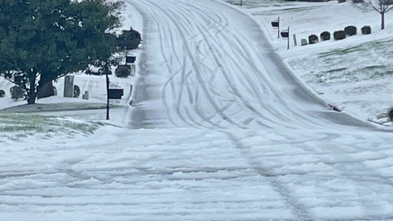
There were more concerns with the potential for a significant ice storm along the coast with this round of wintry weather. We predicted a quarter of an inch of ice with higher totals in localized areas, and that was pretty much what we saw!
)
This ended up being one of the worst ice storms on the coast since mid-February in 2014. Thankfully, the one characteristic of the forecast that didn't end up verifying were the widespread power outages, as power loss was restored quickly for the few that encountered those issues.
We finished up our event review for this past weekend's snow and ice storm. It will be remember for its unprecedented ice accretion up to 1/2" all along the southern NC coast. Check it out here: https://t.co/41iXqCN52W #ncwx pic.twitter.com/d1VOuBpMFy
— NWS Newport/Morehead (@NWSMoreheadCity) January 25, 2022
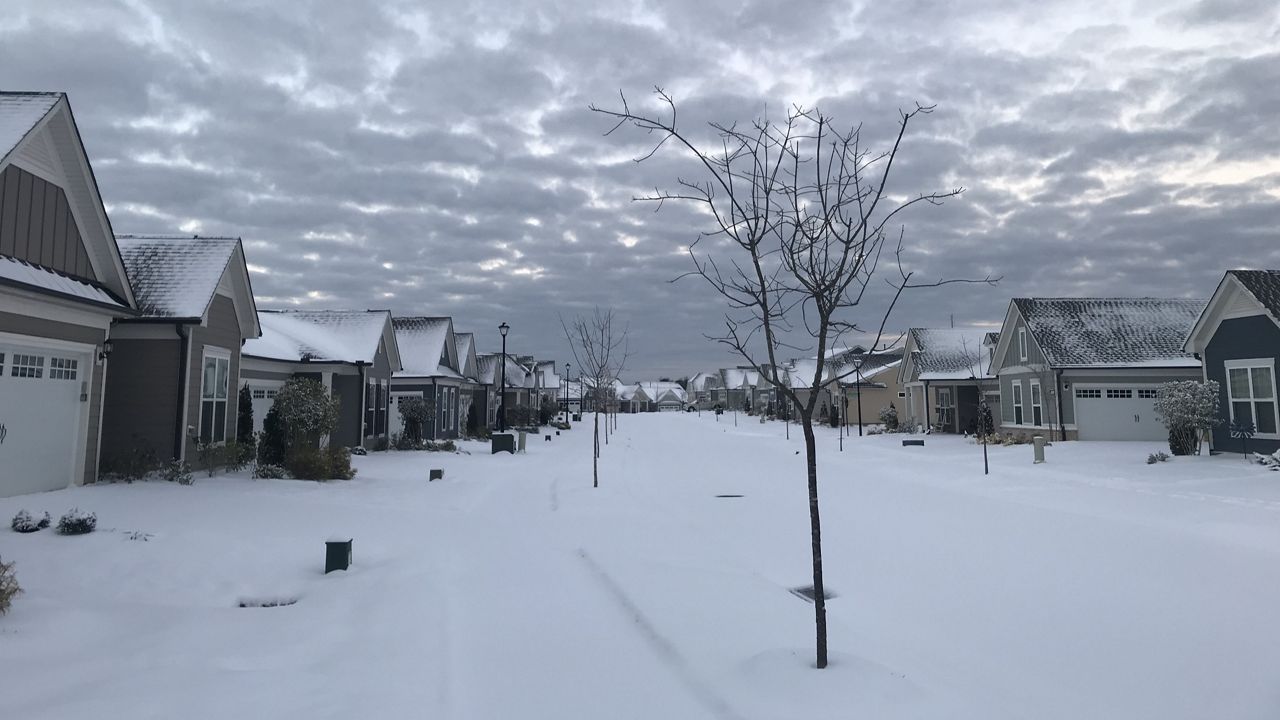
Some were asking us how common it was for us to have snow and ice so frequently in January. As you might imagine, for the mountains, it is very common but elsewhere in the state, four snows in four weeks is a much rarer event.
Greensboro recorded such a feat this winter with 2.0 inches on Jan. 3, 3.3 inches on Jan. 16, 1.1 inches on Jan. 20-21 and 1.8 inches on Jan. 29. The last time the Triad had four snows in four weeks was in January 2000.
In Charlotte, January 2000 is also the most recent occurrence, but before that, it had not happened since 1980.
In Raleigh, the last time it snowed four times in four weeks was in 1995, although these were all minor snows. For most of the coast, this type of event is not in recorded history, but it happened in Elizabeth City in 1980.
We'll start with snowfall! In winter 2021-2022, the western half of the state ended up with more snowfall than average, but the coast still saw a few rounds of winter weather.
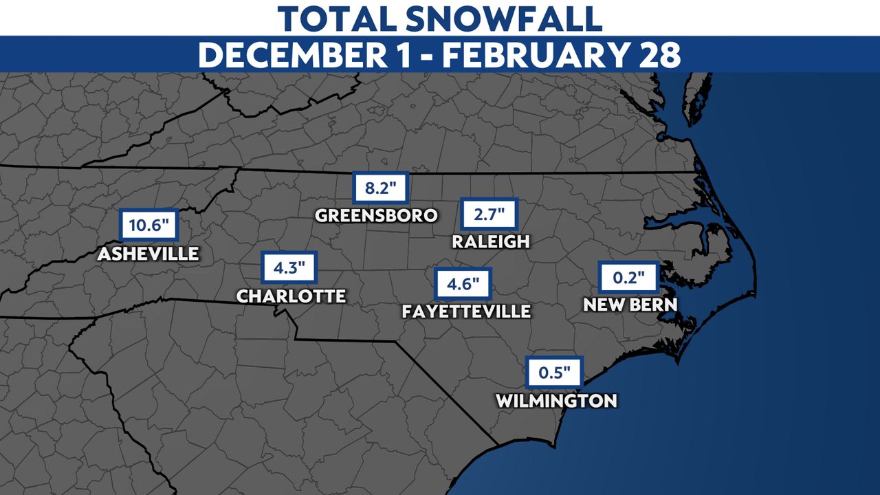
Again, the most winter accumulation that the coast ended up with was the powerful ice storm, producing 0.25 to 0.50 inches of ice in portions of Craven and Carteret counties.
Temperatures were much warmer than average all over North Carolina. This came from the unseasonably warm December in the state, which was followed by warm weather in late February.
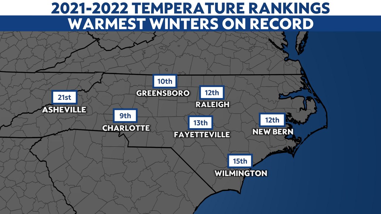
New Bern reached the second warmest temperature ever recorded in winter - 85 degrees on Feb. 25 with data going back to 1932. Wilmington recorded their third warmest temperature ever in winter - 82 degrees on Feb. 23 with data going back to 1874!
Every major city also recorded their second, third or fourth most 70-degree days in winter, having two or even three times as many as average. Topping the list was Wilmington's 33 days in the 70s from Dec. 1 to Feb. 28, the second most on record and the most in 90 years of weather data.
Be sure to stay with Spectrum News 1 for the latest Weather On The 1s forecast as we track the next season ahead - severe weather season!