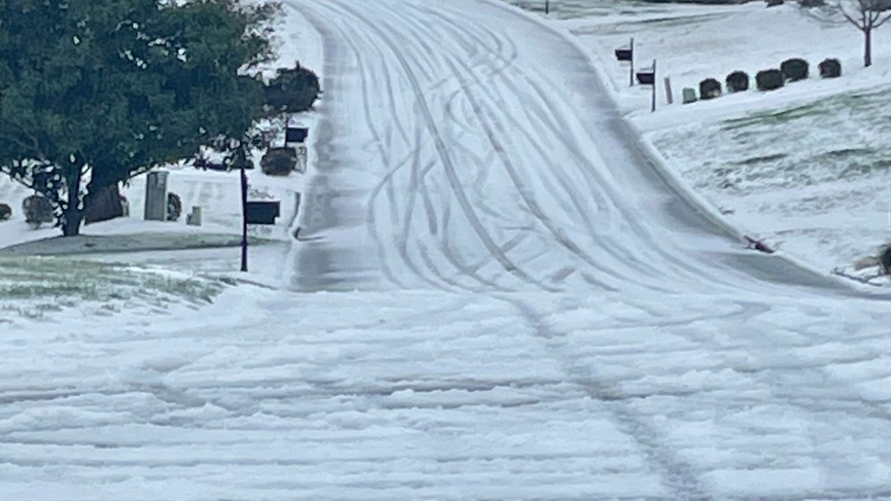
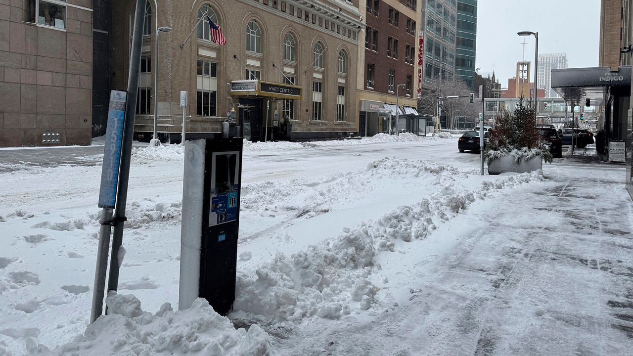
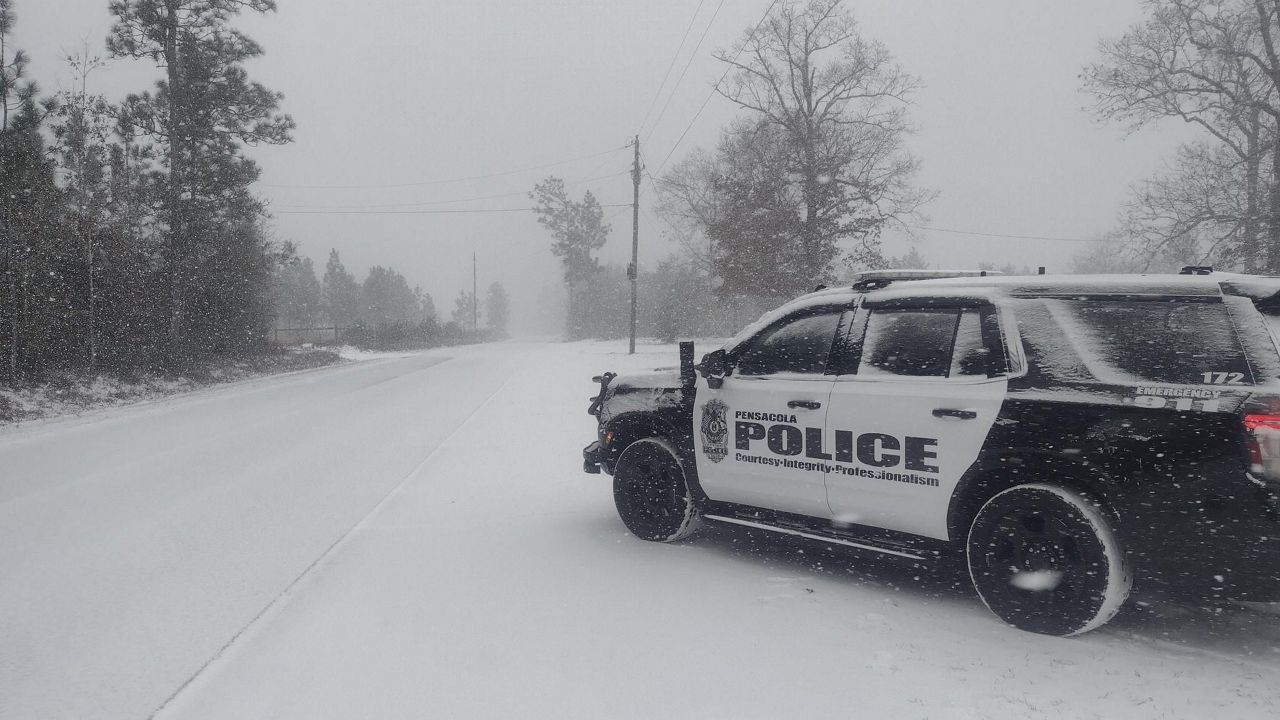
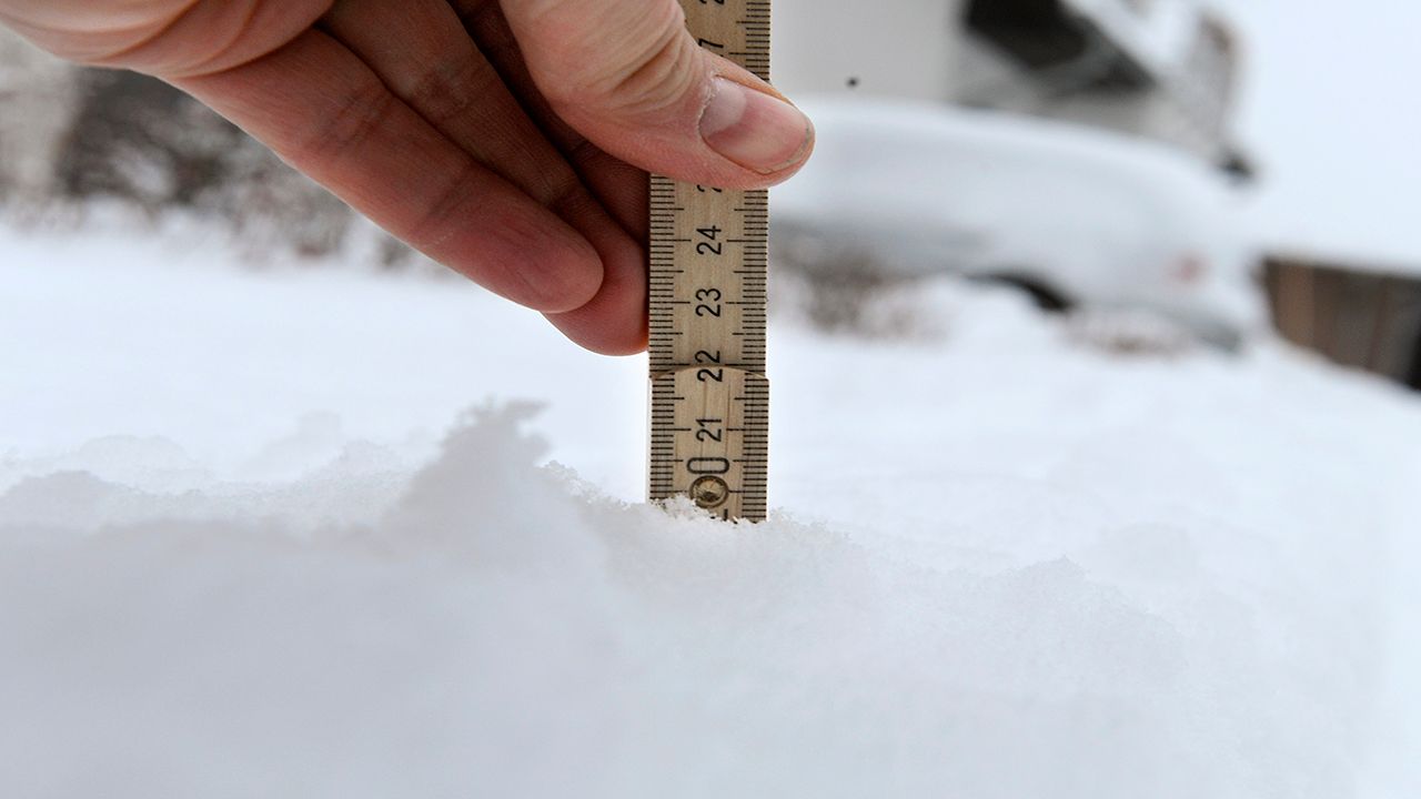
A strong winter storm brought snow and freezing rain to North Carolina over the weekend. The highest snowfall amounts were in the mountains, where some places tallied up more than a foot. Meanwhile, freezing rain and sleet was more common over the central and eastern part of the state.
Use the interactive map below to see the reports that came in after 6 a.m. Sunday. Click or tap any of the icons to get more information. Blue snowflakes are snow reports, red dots are sleet reports and purple rainclouds are freezing rain reports.
Don't forget that you can send us your weather photos here. Check out our slideshow of some of the photos you've sent in.


