Some patchy rain will be possible for the overnight hours. More periods of rain expected for Wednesday.
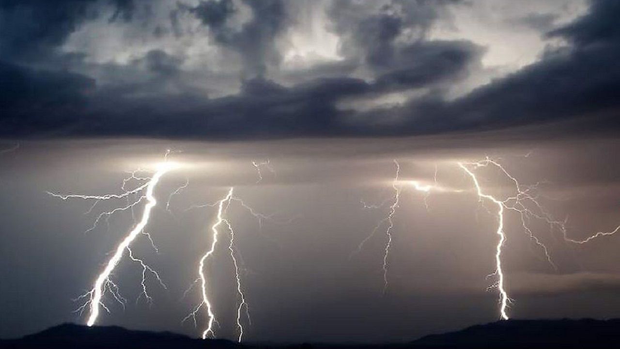
Thursday is expected to be an active day across the area. A slow-moving cold front will be working across the region Thursday into early Friday morning. The overall setup is unusual for this time of year, and we are concerned about a severe storm threat and flooding threat with this event.
We expect several waves of rain and gusty winds Thursday. The first will unfold in the early morning hours of Thursday. Rain with gusty winds appear likely. Rain is expected to be heavy at time. It doesn't appear the severe storm threat will be present with the first wave of activity.
Our second hit will unfold Thursday afternoon into very late Thursday night. This next round will likely bring more heavy rain, damaging winds, and the threat for some tornadoes if storm cells can tap into the violent winds aloft. Areas along, and south of, Interstate 85 are in a better position for severe storms Thursday.
Mountain and foothill counties will need to keep an eye on the flash flood and flooding potential for the day and Thursday night. Around 3 to 6 inches of rain are possible in these areas, with locally heavier amounts possible. Areas prone to flooding will likely see flooding develop. Landslides could be possible if the bigger rainfall totals materialize.
As the system moves east, and out, we'll see some clearing across the Piedmont Friday morning and afternoon. Mountain counties could see a changeover to snow for several hours late Thursday and Friday morning prior to any clearing taking place.


