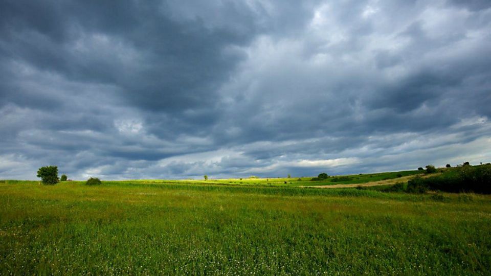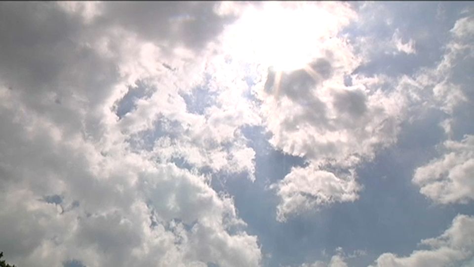
Above is the high-res satellite image of Tropical Storm Dorian as of 6:40 p.m. Monday evening. Dorian is an extremely small tropical storm, and its small size has helped insulate and sustain it even though it is surrounded by dry air. Dorian will move through the southern and central Lesser Antilles tonight into Tuesday morning.
Dorian is, in fact, an island in a sea of dry air. Look at the water vapor image below. The orange and yellow shading is dry air, and there is plenty of it.
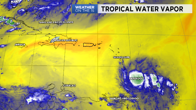
Over the next 24-48 hours, Dorian could strengthen a bit more and become a hurricane. However, if it ever fully ingests some of that dry air, that will significantly stunt development.
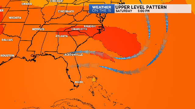
Dorian will continue to track WNW on the south side of a large upper level ridge centered over the western Atlantic over the next day or two. Thereafter, a small weakness in the ridge will then develop and allow for a more NW track of the system for a brief period of time. Dorian will likely track near or very close to Puerto Rico and the Dominican Republic later Wednesday into Wednesday night.
The exact track Dorian tracks at this juncture is critical. Hispaniola has some huge mountains with multiple peaks over 10,000' and even 11,000'. The mountain peaks would significantly disrupt, and possibly even destroy, a small system such as Dorian. If Dorian can scoot between Puerto Rico and eastern Hispaniola, it has a shot of maintaining itself toward the Bahamas.
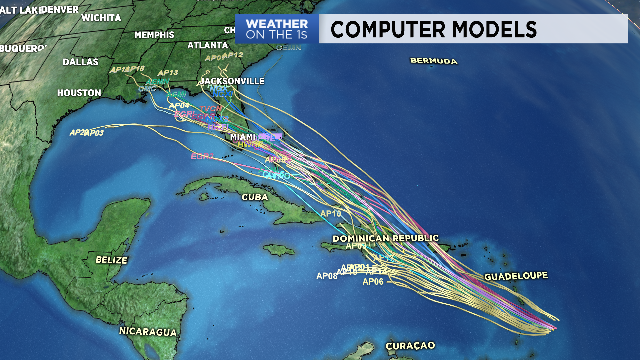
North of Hispaniola, the upper level ridge to the north of Dorian is forecast by every computer model to strengthen once again, and this will likely force Dorian on a more WNW track once again. If that ridge is forecast correctly, it would "protect" the mid-Atlantic and Carolina coast from Dorian and send whatever is left of the system into Florida Saturday or Sunday.
Time will tell. Lots of moving pieces with Dorian, and again, it might not even survive its trek through the northern Caribbean.


