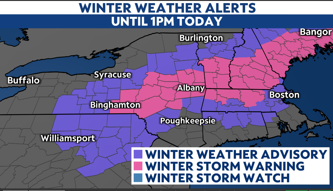
A winter storm continues to impact our area through midday.
Winter Storm Warnings and Winter Weather Advisories are in effect until 1 p.m. today.
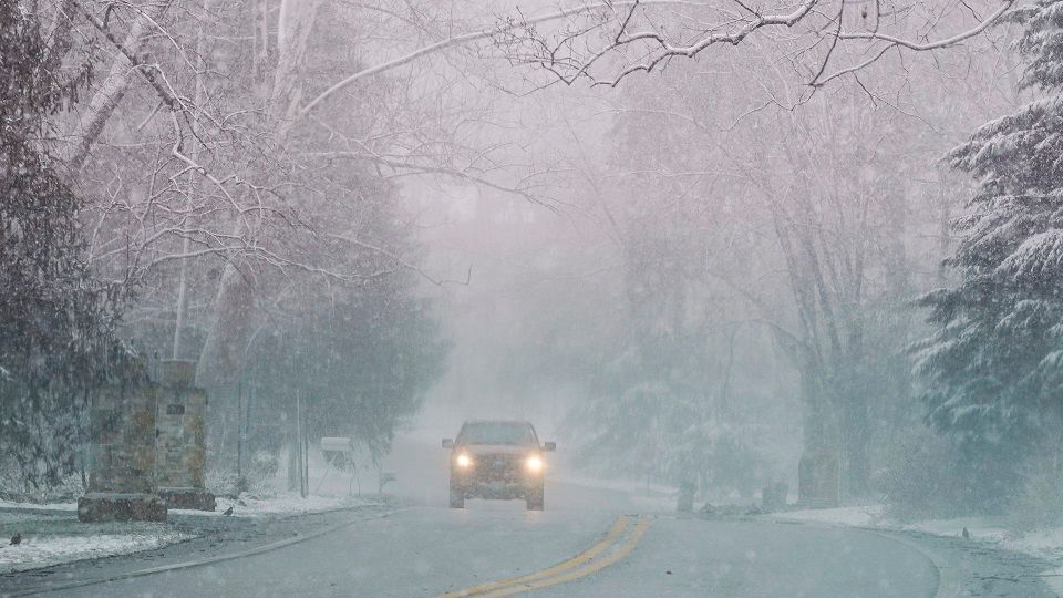
While Albany is dealing with primarily snowfall, the lower and mid Hudson Valley had a light mix and rain overnight. A burst of moderate to heavy wet snowfall hits our areas south through the morning drive, hindering travel.
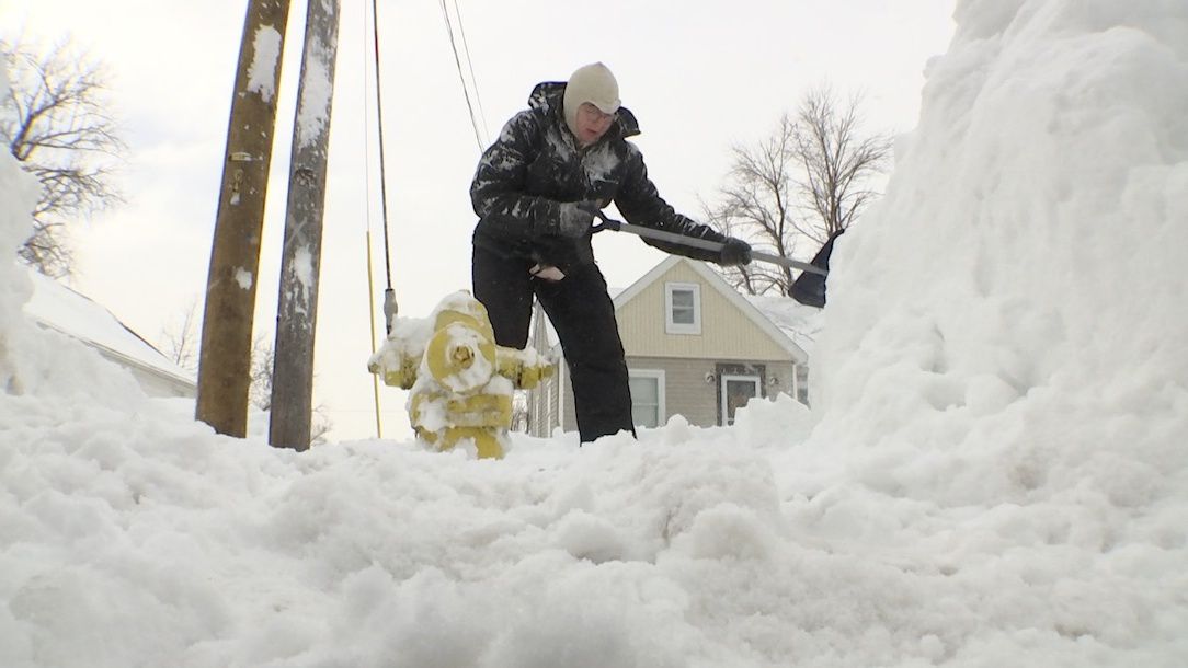
Snowfall rates of a half an inch to an inch per hour will be likely at times through this morning. Since temperatures will be near or slightly above freezing, the snow will be of the heavy, wet variety.
The rain/snow line will likely stay just south of Chatam and Pittsfield.

The Monday morning commute will be messy, with light to moderate snow still around. Snow will gradually end on Monday afternoon.
Here’s a look at snowfall totals by the time it’s said and done:

Our team of meteorologists dives deep into the science of weather and breaks down timely weather data and information. To view more weather and climate stories, check out our weather blogs section.