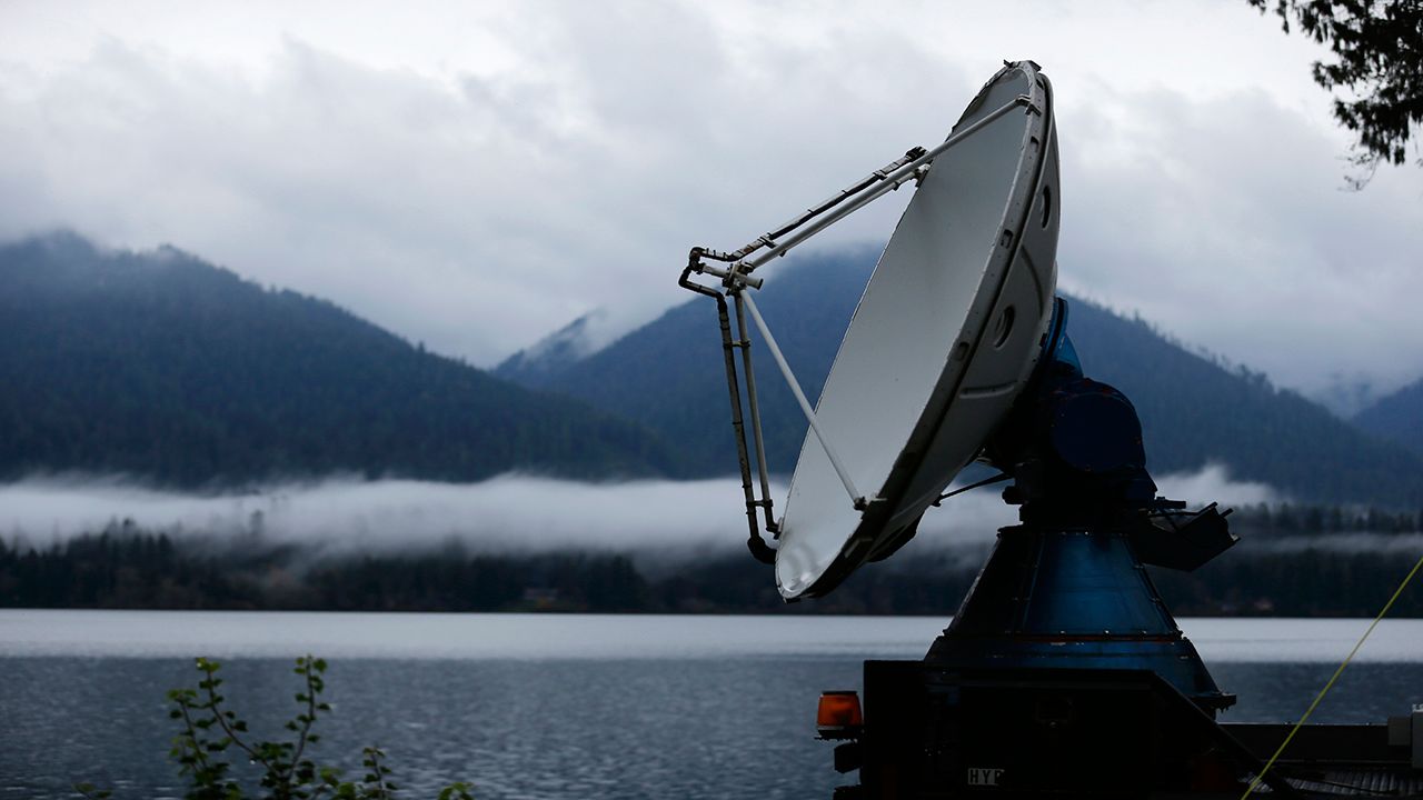
Bright banding is the enhanced radar echo of snow as it melts to rain.
Our first shot of wintry weather back on Nov. 15-16 is actually the inspiration for this blog post. The storm brought a shot of snow, followed by a transition to rain that happened from south to north on the night of the 15th.
While following the storm on radar, I noticed the bright banding occurring down toward New York City.
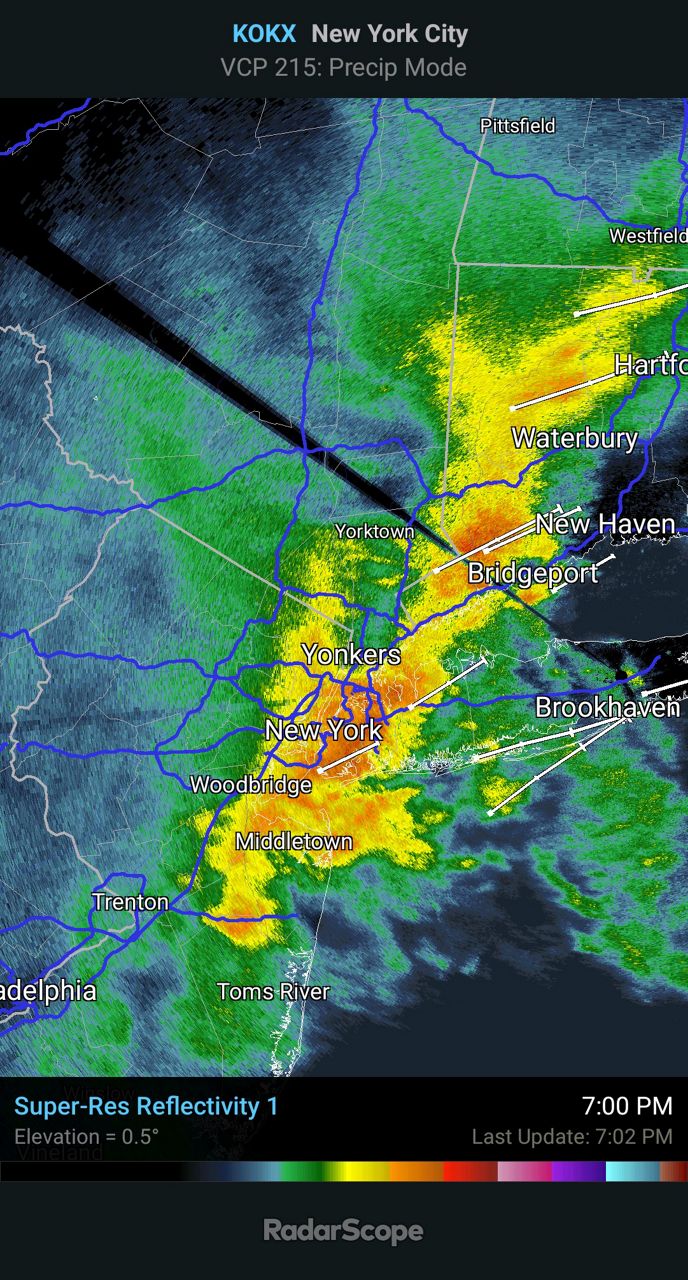
To the untrained eye, this looks like a pocket of heavy rain or even snow. What’s actually happening is snow is melting as it’s falling aloft. When this happens, a film of water forms around the snowflake.
This can trick the radar into thinking it’s large raindrops or even hail, hence the higher radar reflectivity. That’s exactly what’s happening near New York City and southern Connecticut in the radar image above.
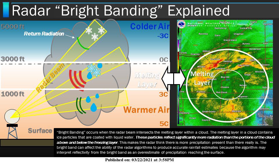
So the next time you hear a meteorologist use the term “bright banding” on TV, you’ll know it’s likely because there’s snow aloft beginning to melt and thus showing heavier precipitation on radar that’s actually occurring at the surface.
Our team of meteorologists dives deep into the science of weather and breaks down timely weather data and information. To view more weather and climate stories, check out our weather blogs section.


