North Carolina sees more Severe Thunderstorm Warnings in June than any other month of the year. Monday could feature many of those alerts being issued across the state.
A Severe Thunderstorm Warning means a storm is imminent that could produce damaging wind gusts or quarter size hail or larger.
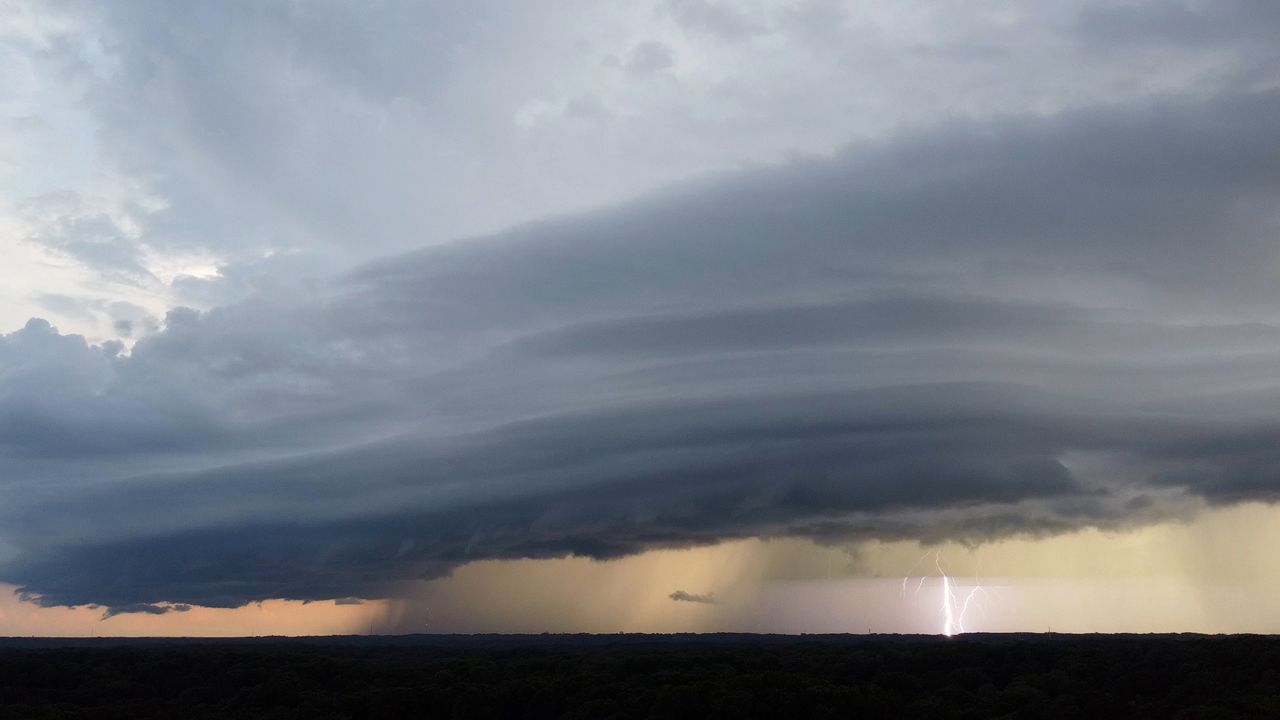
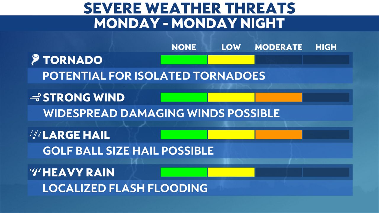
Wind gusts in excess of 60 mph and hail up to the size of golf balls will be the greatest threat from storms on Monday.
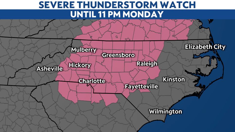
A Severe Thunderstorm Watch is in effect until 11 p.m. Monday
There's also a low risk for an isolated tornado and localized flooding.
The Storm Prediction Center (SPC) has placed a large area from the Piedmont to the Outer Banks under an enhanced risk for severe storms through Monday night.

The last time this much of North Carolina was under an enhanced risk, we saw widespread damaging winds and even two tornadoes touch down. Those storms resulted in about $1 million in property damage.
Monday's severe weather threat will begin with a few isolated storms in western and central North Carolina after 2 or 3 p.m. The storms should then become more widespread closer to sunset and track across eastern North Carolina through just after midnight.

Stay tuned to Spectrum News 1 and the Spectrum News app for updates throughout the day.
Our team of meteorologists dives deep into the science of weather and breaks down timely weather data and information. To view more weather and climate stories, check out our weather blogs section.