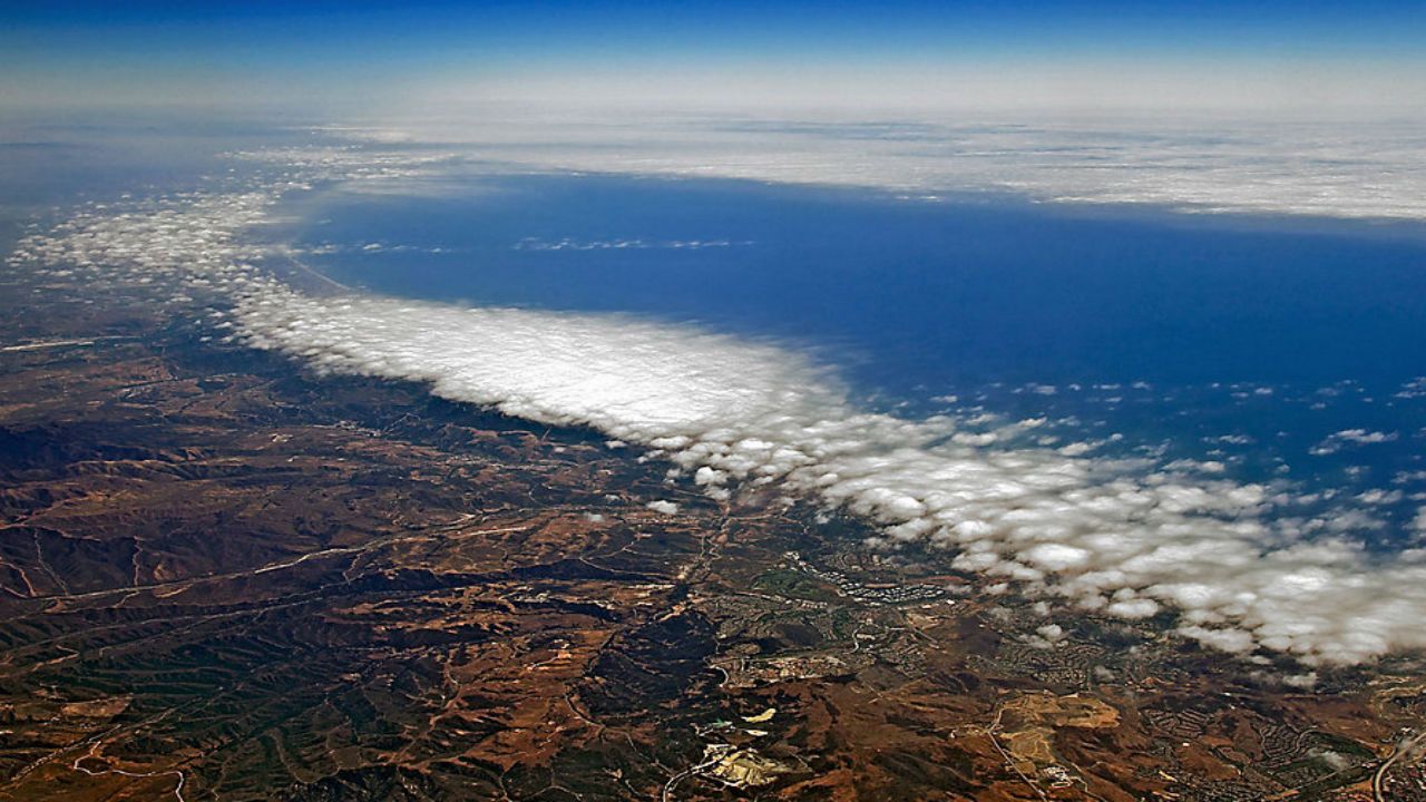
Golf fans tuned into the U.S. Open this weekend know that aside from the golfers and course the "marine layer" at Pebble Beach in California has reached star status. That's because this weather phenomenon has led to a cloudy and cool tournament along this famed coast, instead of sunshine and heat.
The marine layer is the result of a cool, moist air mass being trapped under a warm and dry air mass (located at a higher altitude). This process can last for days to weeks, and is most common along the coast of Central and Southern CA in May and June. The reason it is most common here is because the surrounding ocean water (and air temp) is drastically colder than areas just a few miles inland (ocean temp is typically in the 50s, inland areas into the 90s). This interaction of a large temperature change over a short distance leads to what's called a temperature inversion. That means temperatures increase with height, instead to cooling. Meanwhile, nearby mountains prevent the cooler ocean air from rushing inland. The result is a thick layer of clouds which is commonly found along the immediate coastline.
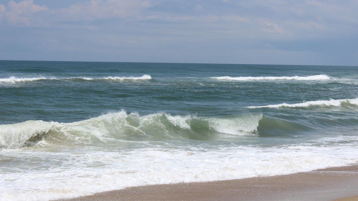
In contrast, the "sea breeze" is a daily summer time occurrence most common along the eastern U.S. Now, during summer nighttime land temps and ocean temps along the east coast are similar. However, land areas heat much faster during the daytime than the sea, and that creates a pressure difference. In other words, warm air rises over inland areas while cooler air located over the ocean rushes in to replace the rising air. Plus, there are no mountains to "trap" the cooler ocean air. That allows what is essentially a cold front, or convergence zone to occur. Here, clouds and usually t-storms will form during the afternoon hours. Then, once the inland temperatures cool during the evening and overnight hours, the pressure difference is reduced, and as a result, the sea breeze fizzles.