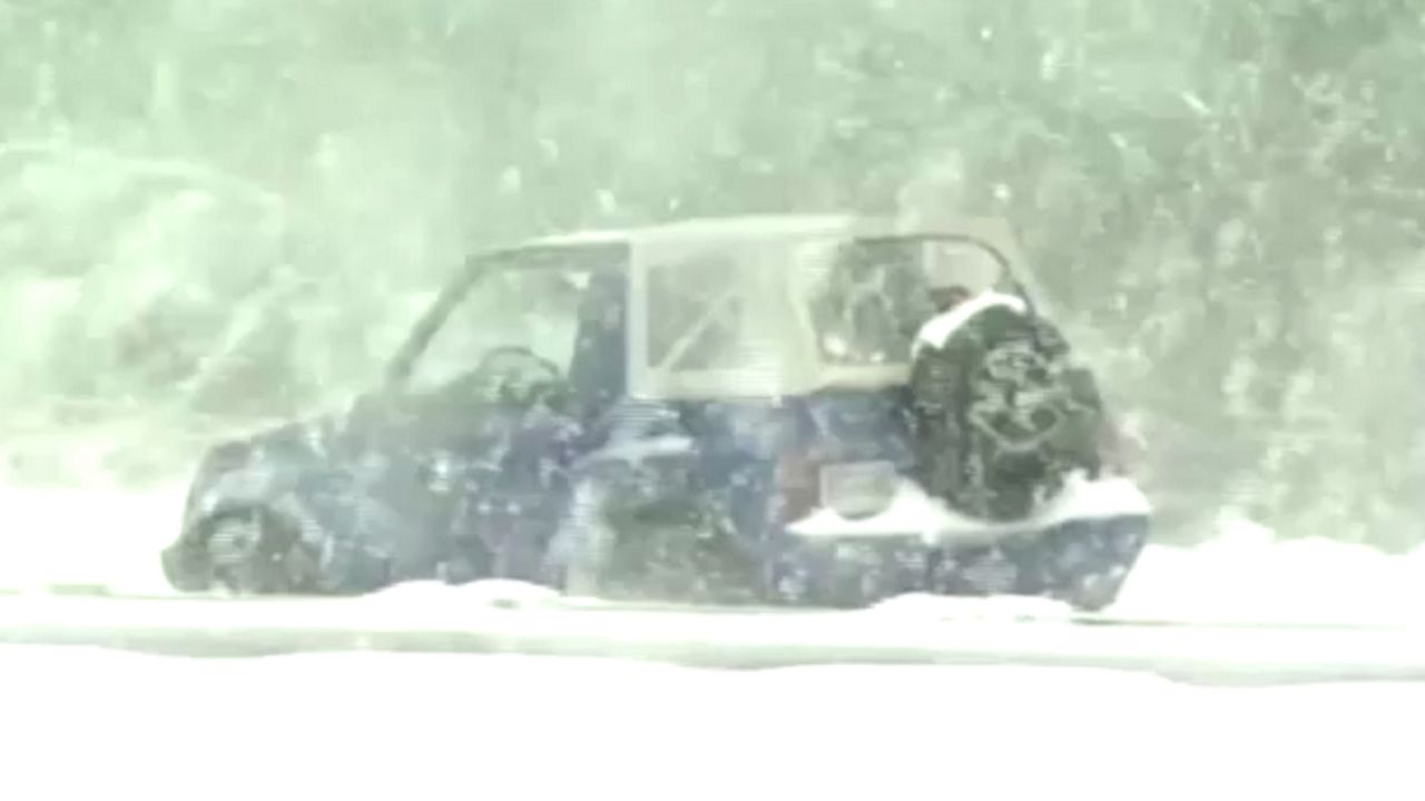
North Carolina just saw two winter storms in just under a week's time. However, neither storm was quite as intense as one that produced almost two feet of snow in the Triangle 22 years ago.
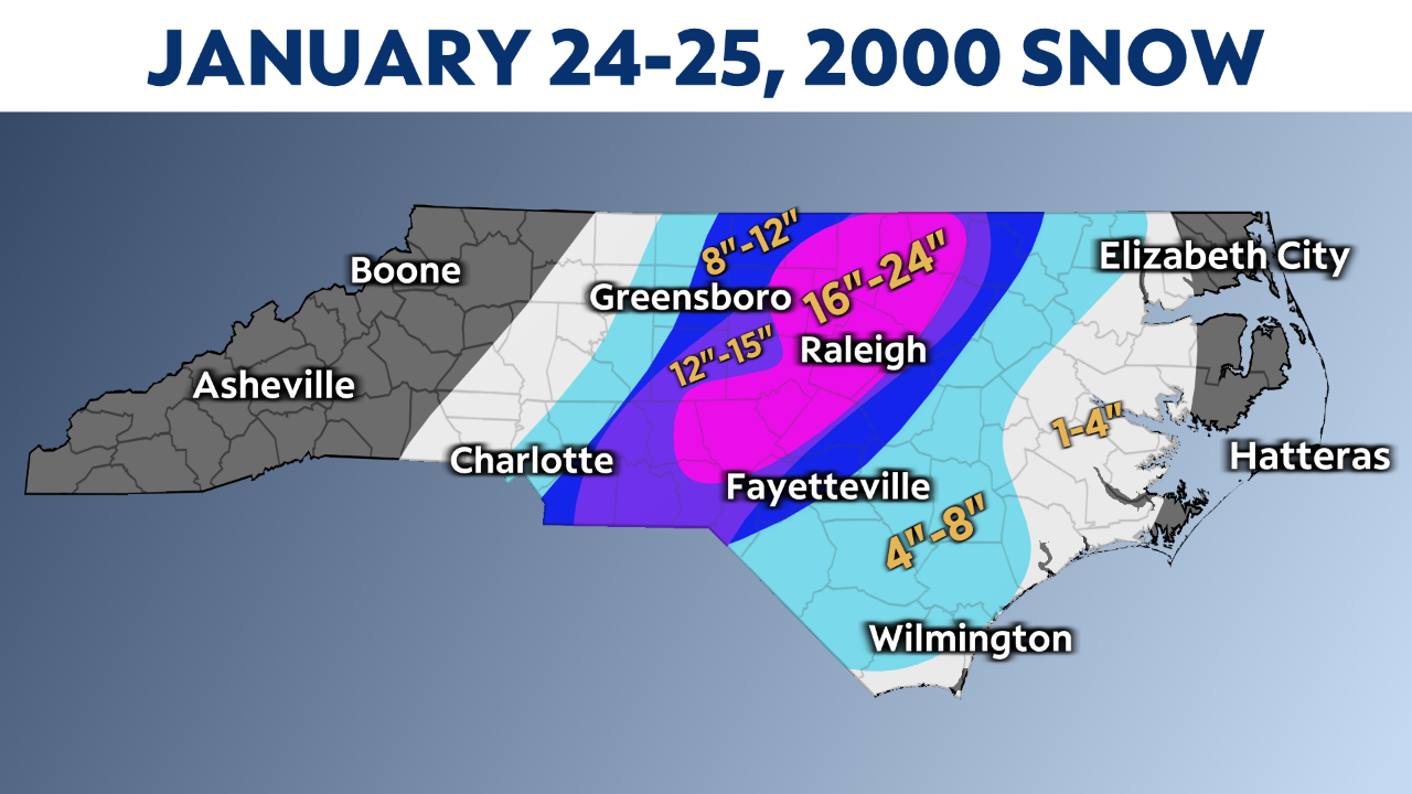
That snowfall from Jan. 24-25, 2000, still stands as the record for the most snow from one storm in Raleigh.

You could say that amount of snow came as a surprise to everyone. Even less than 24 hours before the snow started, forecasts predicted a much smaller amount.
North Carolina State University meteorology professor Dr. Gary Lackmann told us, "I remember we were looking at some of the maps, the satellite and the radar and thinking we could get two or three or four or five inches of snow."
It was significant, to say the least. The official storm total from the Raleigh-Durham Airport was 20.3 inches.
Lackmann says forecast models did not have the accuracy they do today. The forecasts ahead of the January 2000 storm were simply wrong.
"There was a lot of research that went into what went wrong and what was responsible for the forecast errors, so things have come a long way in the years since that event," added Lackmann.
Could another surprise snowstorm of this magnitude happen again?
Professor Lackmann says, "never say never," but he also adds that forecasting models are much more reliable now.
Forecasting is not the only thing that has improved in the last 22 years when it comes to winter storms. The restoration of power after big snow events has also improved.
Duke Energy spokesman Jeff Brooks recalls that the January 2000 storm served as a huge learning tool. He said, "We've made tremendous improvements in the last 15 years in how we respond to storms and coordinate our efforts to speed restoration to customers. We have also made significant improvements to our technology."


