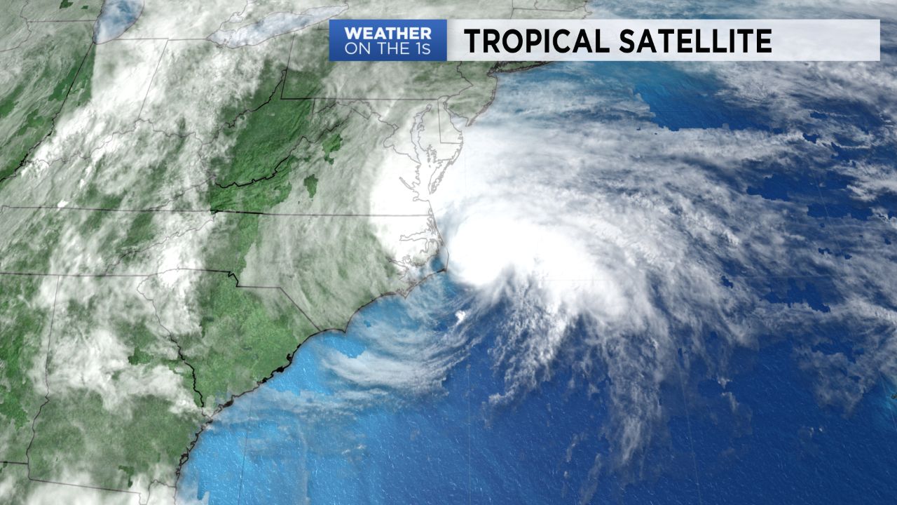
Some healthy amounts of rain have occurred with Arthur, and some rain gages have even topped five inches today, especially in and around the Crystal Coast.

Wind gusts have generally been in the 20-35 mph range with a few gusts over 40 mph. The highest reported wind gust was 49 mph at Diamond Shoals, south of Cape Hatteras.
Arthur is also creating rough surf and dangerous swimming conditions due to an increased threat for rip currents and this will continue at some beaches into Tuesday.
The storm will lose its tropical characteristics over the next 24 to 36 hours as it moves farther off the US coast.
This is the sixth year in a row for a tropical system to form before the official start of the Atlantic hurricane season on June 1.

For the latest on the tropics, tune in to our tropical update at :21 after every hour on Spectrum News.