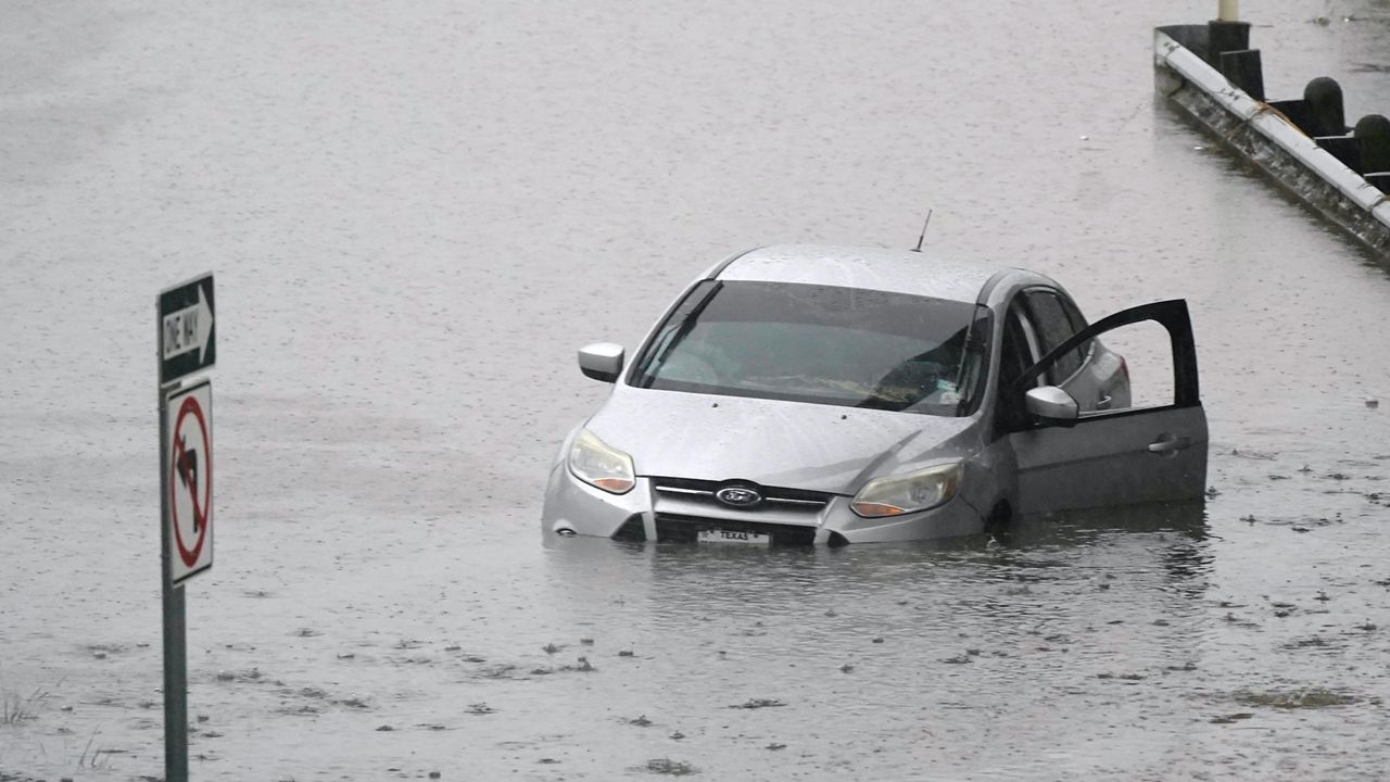
Hurricane Idalia made landfall Wednesday morning as a Category 3 storm along Florida’s Gulf Coast.
Since then, the storm has been tracking near the coast of the Carolinas as a tropical storm.
Idalia is now taking a turn that will take it off our coast and into the Atlantic through the day Thursday.
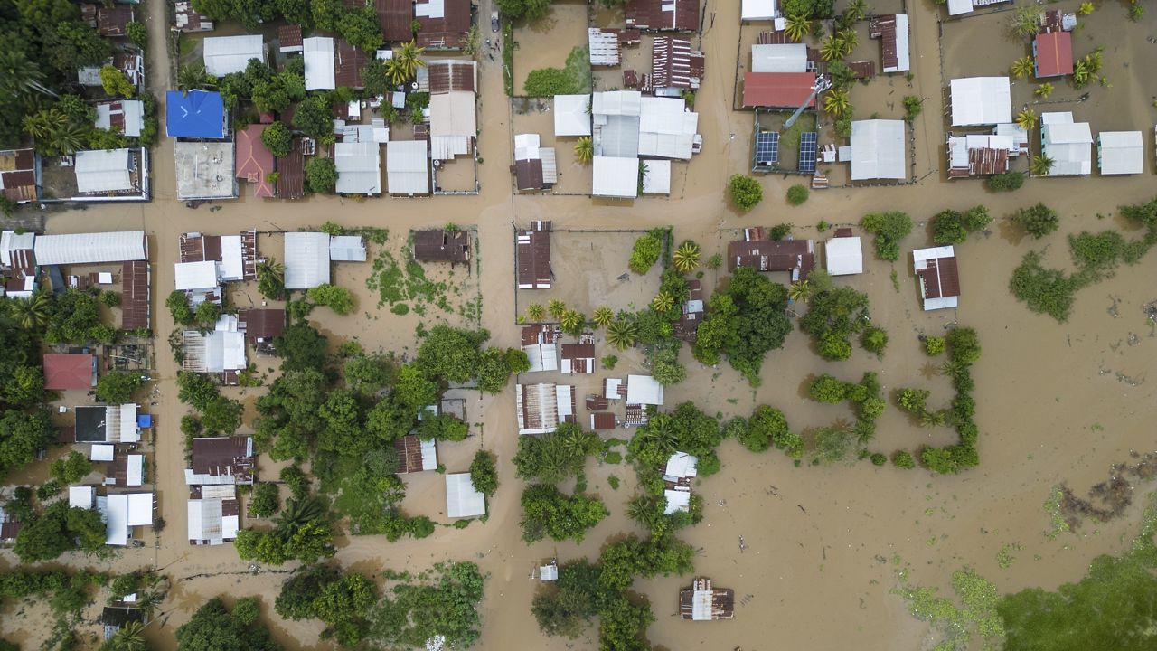
Idalia has produced flooding rains across southeastern North Carolina through late Wednesday night and early Thursday morning.
The flood threat is shifting closer to the Outer Banks through midday.
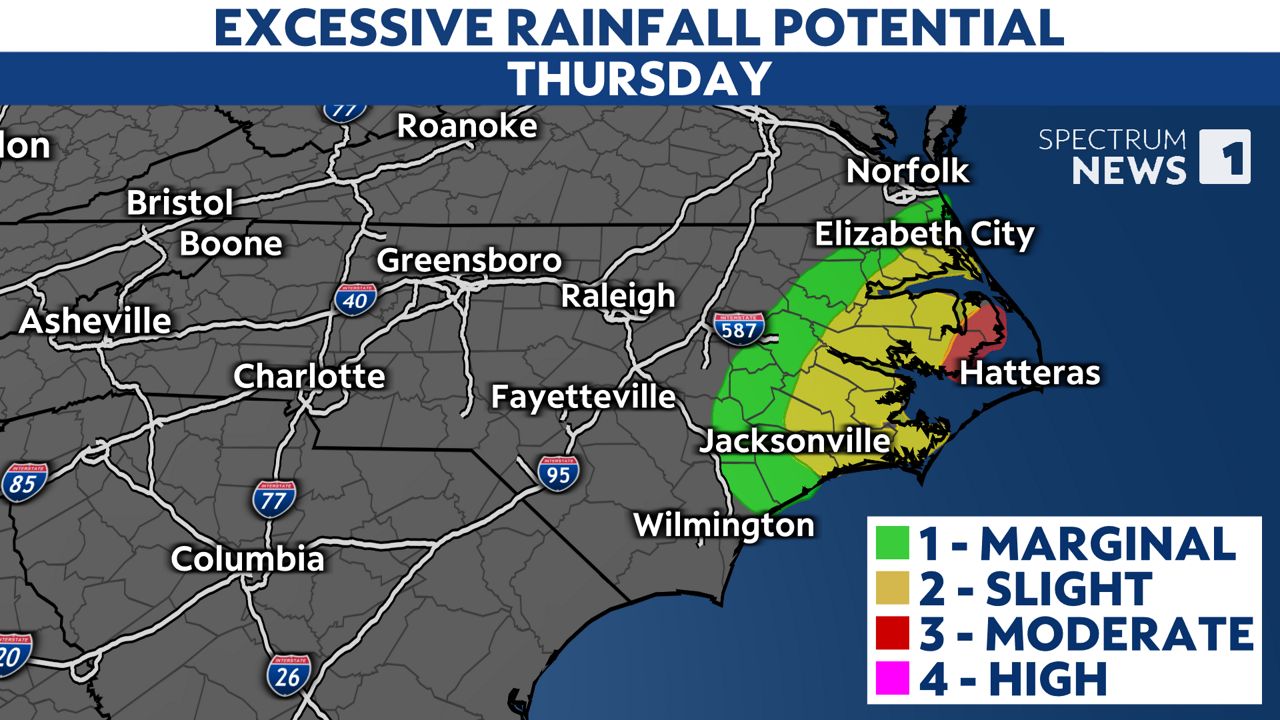
The heaviest rains from Idalia will move off shore through the day, bringing an end to the flood threat Thursday afternoon. Some parts of the Outer Banks may continue to see showers until around sunset.
The strongest winds are expected near coastal areas where gusts up to 45 or 50 mph are possible. Those strongest gusts will be felt along the southeastern coast through Thursday morning and along the Outer Banks from late morning through the afternoon.
Wind gusts of 20 to 35 mph are forecast for the rest of the state.
Combined with the wet conditions, spotty power outages are possible.
Even without Idalia, this week’s high tides will be higher than normal along the coast because of the supermoon. A supermoon occurs when the full moon is at its closest point to Earth.
The king tide, combined with the impacts from Idalia, will create coastal flooding Thursday.
A Storm Surge Watch has been issued from Beaufort Inlet to Ocracoke Inlet and for sections of the Pamlico and Neuse Rivers near the coast.
Ocean overwash is making for dangerous travel conditions for sections of Highway 12 at the Outer Banks.
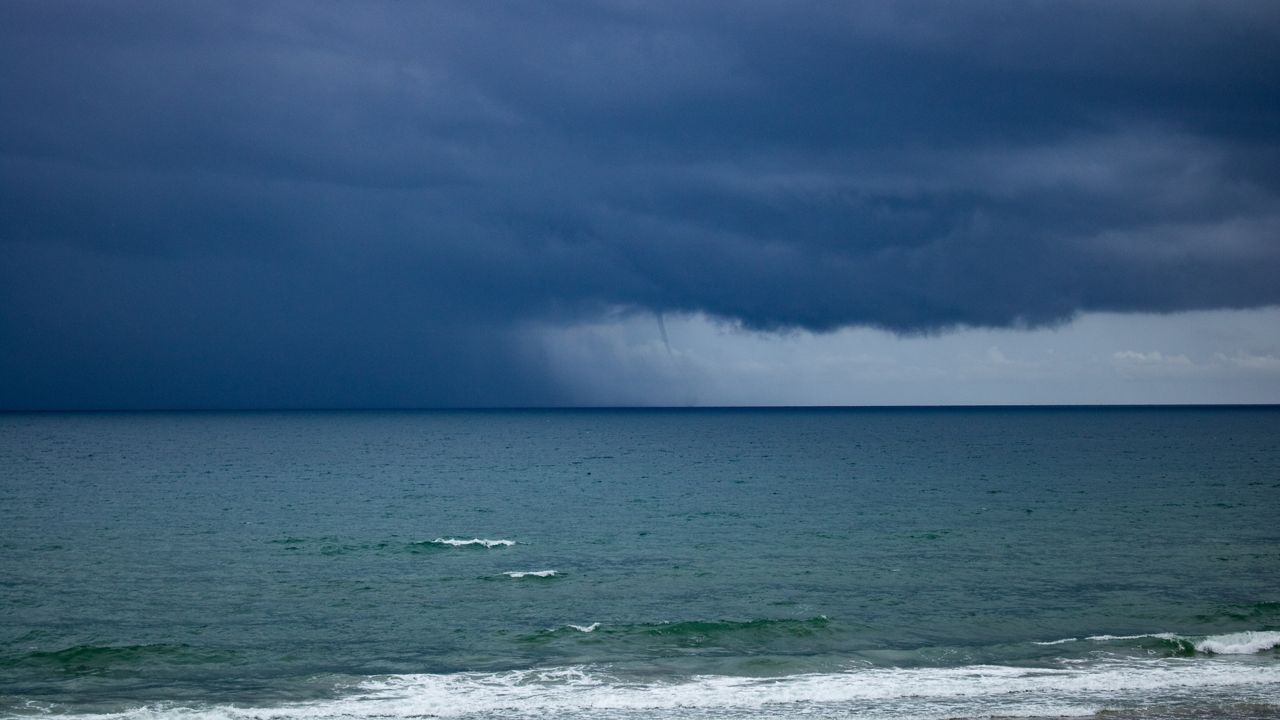
Idalia may have produced at least two tornadoes in southeastern North Carolina Wednesday night. The National Weather Service in Wilmington says they will be investigating damage in one community in Brunswick County and another in New Hanover County to determine if it was caused by a tornado.
Fortunately, the tornado threat has now ended.
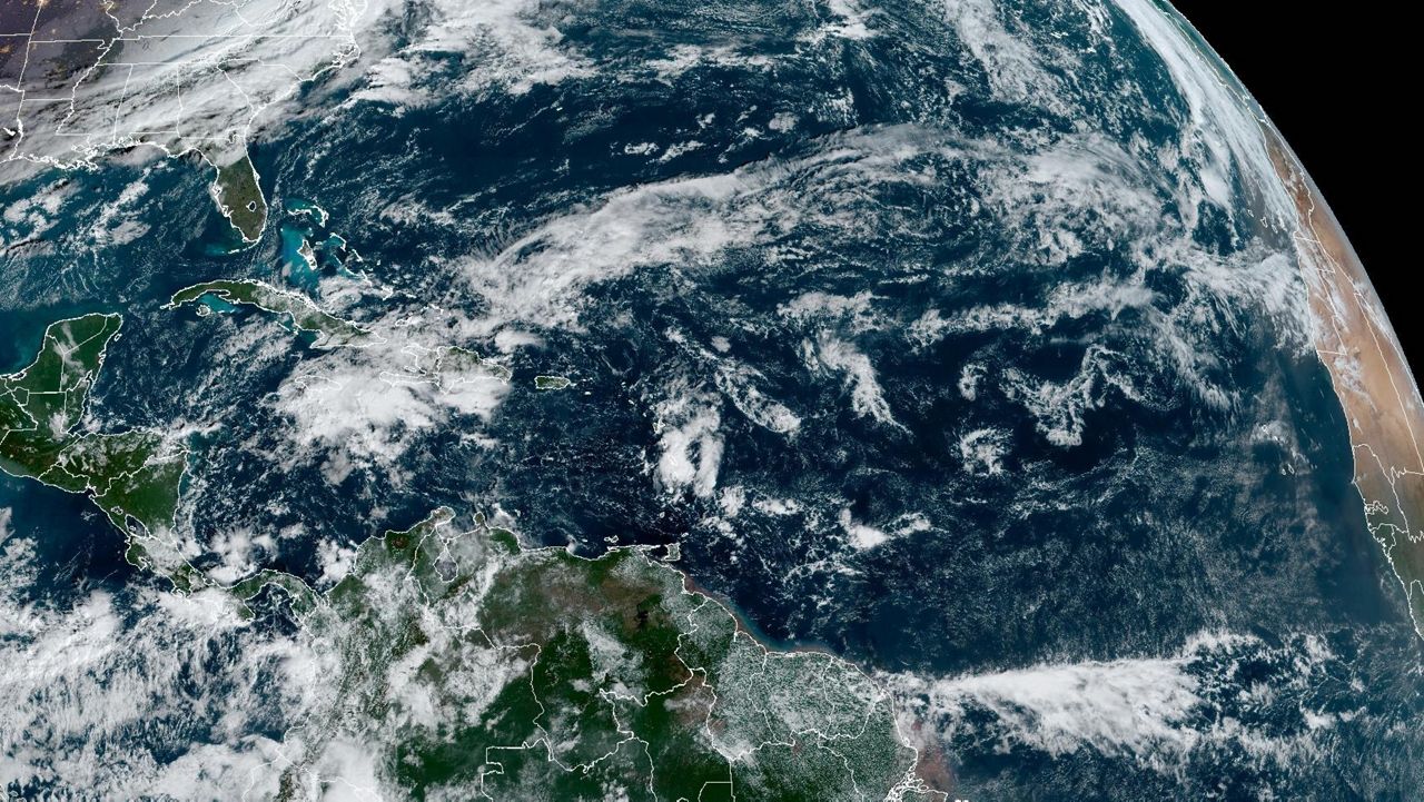
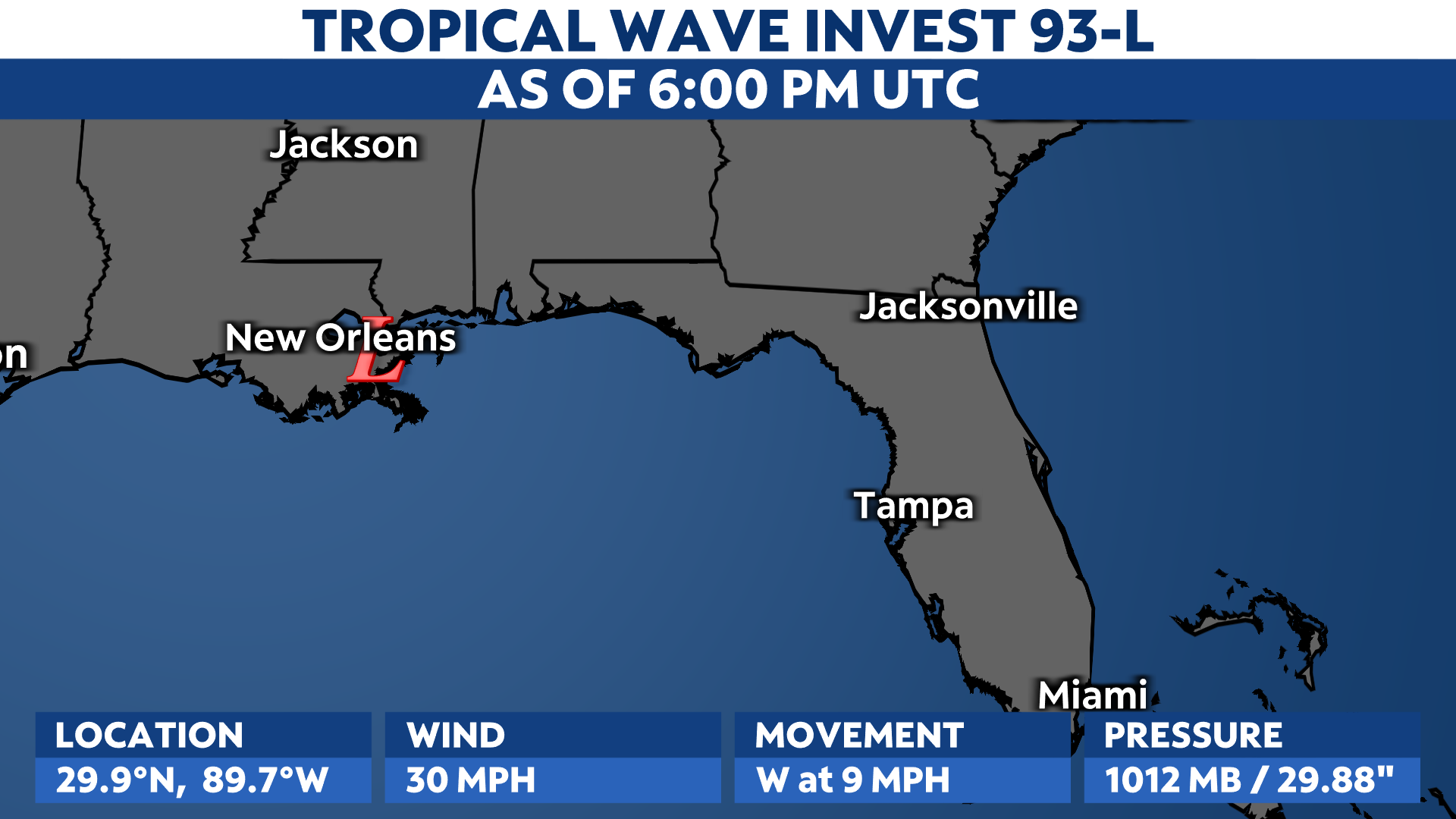
Idalia is not the only storm we've been tracking in the tropics this week.

Hurricane Franklin is fortunately staying off the East Coast of the U.S. However, swells from Franklin, combined with the impacts from Idalia, are creating an increased danger of rip currents at North Carolina beaches.
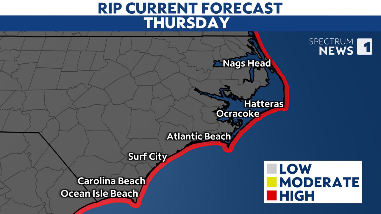
That danger will likely continue through the end of the week.
Rip currents are powerful channels of water that can pull even experienced swimmers away from shore.
Beachgoers are strongly encouraged to stay out of the water this week due to the danger.
Our team of meteorologists dives deep into the science of weather and breaks down timely weather data and information. To view more weather and climate stories, check out our weather blogs section.