


Unless you live in the mountains of the Tar Heel state, it’s been a winter marked by very few snowflakes and lots of rain. Our last month with fairly realistic snow chances is February (we have seen snow in March and April before, but rarely).
Over the last 10 years, we’ve had several snow events in February, so there is some hope that snow-lovers outside the mountains could see the winter weather you’re craving.
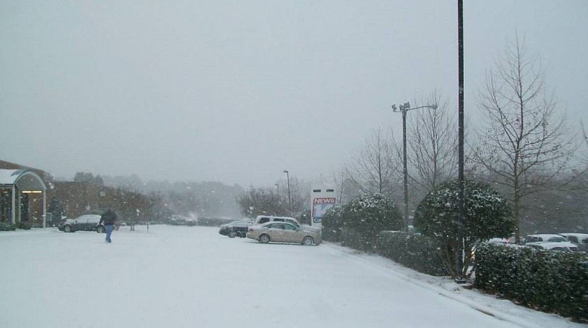
Feb. 20-21, 2020
We’ll start with the most recent event from three years ago, and while this is the storm with the biggest totals, where the snow occurred was noteworthy.
The highest concentration of 2 to 4 inch snowfall totals came from the Triangle region over to parts of the Coastal Plain. While this isn’t a super-rare occurrence, it was a bit of a surprise.
During the day on Feb. 20, temperatures hovered right near or just above freezing, but by the evening, temperatures dropped and so did the snow.
Moisture tailed off by the overnight, but snowfall amounts of 1 to 4 inches fell from the Triad to the Triangle, and as far east as Bertie County.
Snowfall then picked up in the mountains on the Feb. 21, but only a handful of locations received 2 to 4 inch totals.
Feb. 25-26, 2015
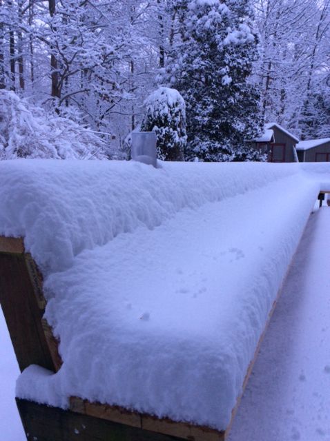
The state saw a bit of everything with this storm. This was the third winter storm in less than three weeks, but was by far the most impactful as a blanket of snow as much as 6 to 8 inches fell from the mountains all the way to the northeast corner of the state.
The mountains received the snow first, with some spots receiving as much as 10 inches. The significant problems were in the Triad and Triangle regions as heavy, wet snow was iced over.
Tree branches and power lines felt the weight of the winter weather and power outages totalled almost 200,000 customers.
As the coastal low responsible for all the moisture continued to pull away, sleet and freezing rain fell as you moved farther east and south, with mostly rain falling along the immediate coast.
It was a notable February winter storm for much of the state.
Feb. 12-13, 2014
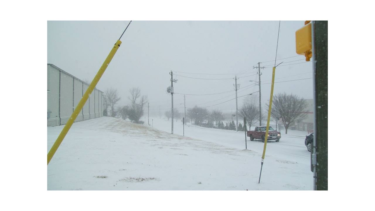
Probably one of the more notable February snowfall events occurred in 2014 in a classic cold-air damming situation combined with a low pressure area which tracked from the Gulf of Mexico to the Carolina coast.
Moisture and cold air overlapped for impressive snowfall totals and ice accumulations.

The mountains saw all snow with this event, with all locations receiving at least half a foot. The heaviest of the snow fell in the northwest corner of the state and the foothills where snowfall totals tallied a foot or more, and places like Surry County received almost 20 inches.
Piedmont region also received some impressive totals, with 7 to 9 inches not at all uncommon. These amounts stretched as far east as Person, Orange and Durham Counties.
From the Triangle over to the I-95 corridor, most spots picked up 2 to 4 inches, with a few spots getting a bit more.
Late in the event, snow transitioned to ice with accumulations from a quarter to three-quarters of an inch from the southeast coast to the Triangle and Triad.
)
This was the most significant snowfall since Christmas of 2010.
So snow lovers, don’t fret, we have plenty of historical evidence to point to February being a prime time for snow in our state.
Our team of meteorologists dives deep into the science of weather and breaks down timely weather data and information. To view more weather and climate stories, check out our weather blogs section.