Last month was the driest November on record for North Carolina since 1931. That's based on a recent analysis by the State Climate Office.
Those dry conditions have continued into early December.
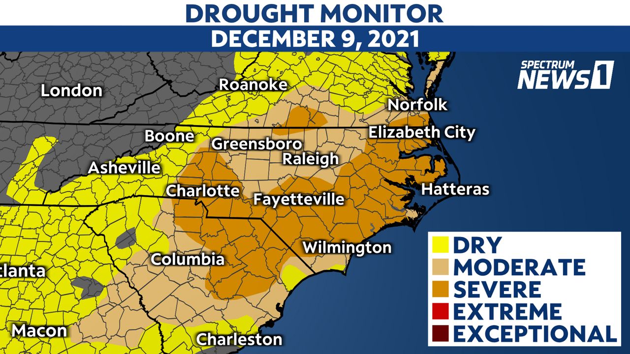
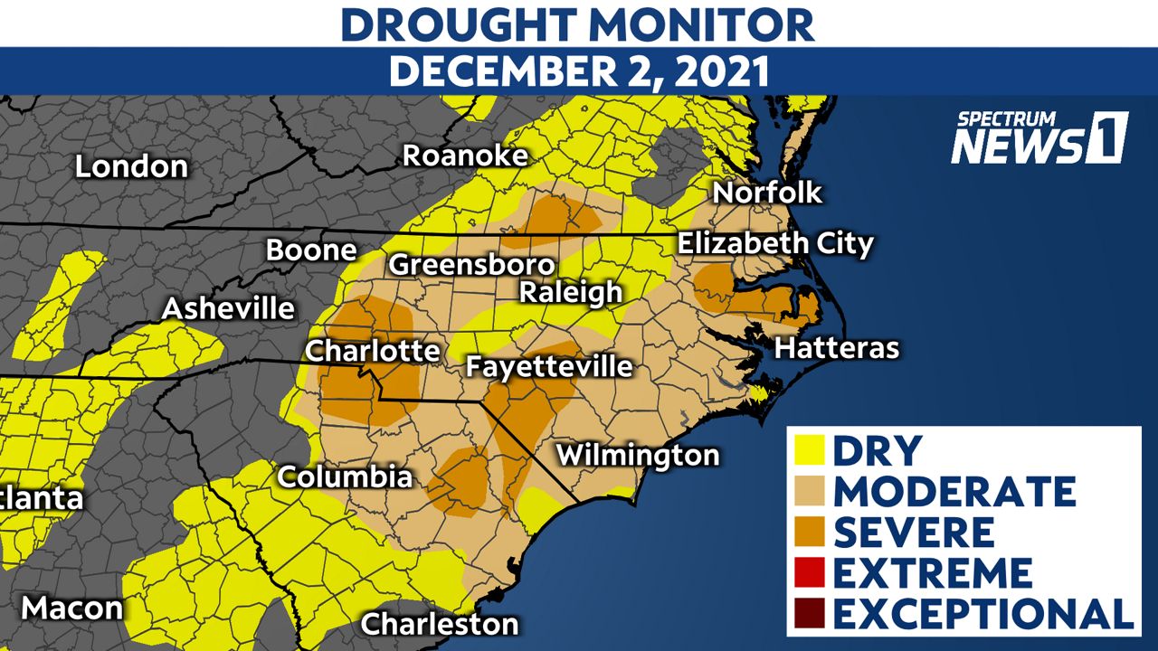
The updated Drought Monitor map released Thursday morning shows drought conditions continue to expand across the state.
Around half of North Carolina is now under a severe drought. That's up from 17% from last week.


Factoring in severity and coverage, the state is currently experiencing its worst drought in 13 years.
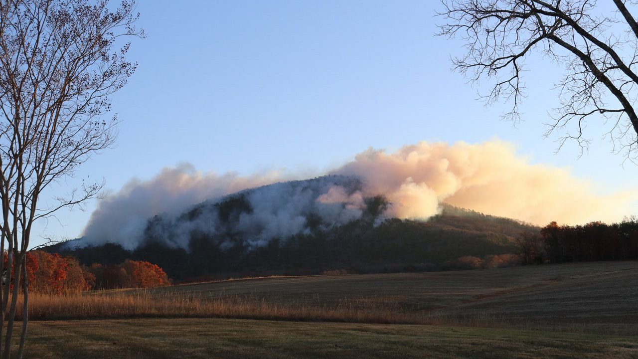
The recent dry conditions have caused wildfire concerns in recent weeks across North Carolina.
Pilot Mountain State Park remains closed after a fire that started in late November burned over 1000 acres. The fire was completely contained earlier this month.
The Drought Monitor map is released every Thursday. However, it only takes into account rainfall through the previous Tuesday.
Wednesday's soaking rain in parts of central and eastern North Carolina will not be accounted for until next week's update.
Many locations south and east of Raleigh, including Fayetteville and Wilmington, measured around an inch or more of rain Wednesday. The highest rainfall in the region was Havelock with around 2 inches.
The North Carolina Forest Service did drop its recent burn ban for areas that saw more of Wednesday's rain. Open burning remains prohibited for other parts of the state that saw little to no rain Wednesday.
A cold front is expected to track through the state this weekend bringing a band of rain and storms from Saturday evening through early Sunday morning.
Dry conditions may then return for much of next week.


