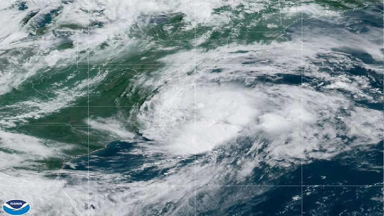
Claudette was the third named tropical system of the 2021 Atlantic hurricane season.
The storm was relatively weak, but it was an interesting system because it strengthened from a tropical depression to a tropical storm over land.
Of more interest was that the National Hurricane Center forecast this over-land strengthening based on computer model forecasts.

The idea is that when a tropical system moves over an inland area that has wetlands or is close to the coast, it may be able to "tap" into the moisture to intensify.
Remember, that's what tropical systems "run" on, warm ocean waters to give energy to the storm.
And this is not the first time this has happened. In July 1997, a system on a very similar track strengthened from a tropical depression to a tropical storm. This system also did this over North Carolina.

Danny was a much different beast than Claudette. Danny was a hurricane at one point, and it brought a lot more rain along its path through North Carolina.
The storm triggered flooding across parts of the state. It even caused the collapse of a train trestle and the loss of a train locomotive near Charlotte.
Along most of its track through the Carolinas, it was a tropical depression.

But as it crossed the state from southwest to northeast, it went from a depression back to a tropical storm over the Coastal Plain of North Carolina on July 24.
Danny was closer to the coast when it regained its tropical storm status, but both storms shared a similar track across the Carolinas. They went from a tropical depression to a tropical storm within 100 miles geographically.
Claudette and Danny are yet another reminder of the variability in forecasting tropical systems and their behavior.
When a tropical system is forecast for your area, a good rule of thumb is to prepare for the worst, just in case.


