


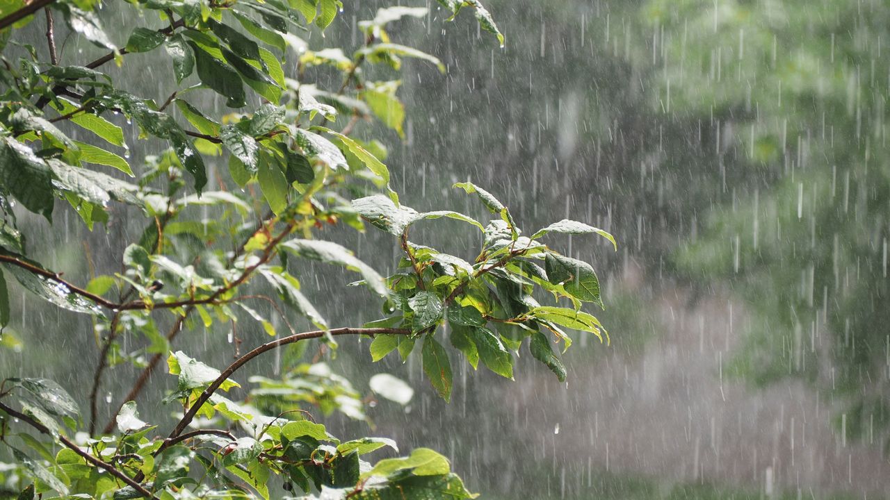
If last year seemed really soggy to you, it's not just you. New data from the State Climate Office of North Carolina and the National Centers of Environmental Information shows 2020 was one of the wettest years on record for the state.
Last year ranks as the second-wettest for North Carolina based on statewide average rainfall data that dates back to 1895.
The wettest year on record was just a couple years before in 2018. Flooding rains from Hurricane Florence that year helped make it the wettest year.
Some of 2020's wet weather can also be attributed to tropical systems. Hurricane Isaias was the only storm to make direct landfall in the state, but the remnants of another eight tropical systems moved through the state.

Preliminary data shows 48 tornadoes touched down in North Carolina in 2020. That's the sixth-most tornadoes in the state since 1950.
Sixteen of those tornadoes occurred on April 13, 2020 during an outbreak in the eastern part of the state. That date now stands as the fifth-largest one day tornado outbreak for North Carolina.

The strongest tornado in state last year was spawned by Hurricane Isaias in August. The EF-3 tornado killed two people and injured another fourteen in Bertie County.
Not only was 2020 wet, and at times, stormy, it was quite warm.
Last year is now tied with 2017 as the third-warmest on record for North Carolina. The warmest year was set just one year earlier in 2019. The second-warmest occurred in 1990.
In a recent recap of 2020, Assistant State Climatologist Corey Davis pointed out the recent record warmth can be linked to warmer overnight temperatures.
Just based on maximum temperatures, or afternoon highs, it was the 21st-warmest year on record. However, based on minimum daily temperatures, or overnight lows, it was the warmest on record. That makes 2020 the sixth year in a row to set a record for warm overnight temperatures.
The North Carolina Climate Science Report released last year shows that it is very likely the number of warm nights will continue.
State Climatologist Dr. Kathie Dello says last year's warm and wet weather should not be a surprise to anyone who looks at how the state's climate has been changing.
In the recent recap of 2020, Dr. Dello stated, "Expect these trends to continue." She noted the state should expect a 4 to 10 degree warming trend through 2100.
North Carolina is also expected to get wetter due to more frequent extreme precipitation events.