Barry is making landfall today (Saturday) along the Louisiana Gulf coast. The system has battled dry air and fairly strong northerly shear during it's entire life cycle, but strengthened as it neared landfall.
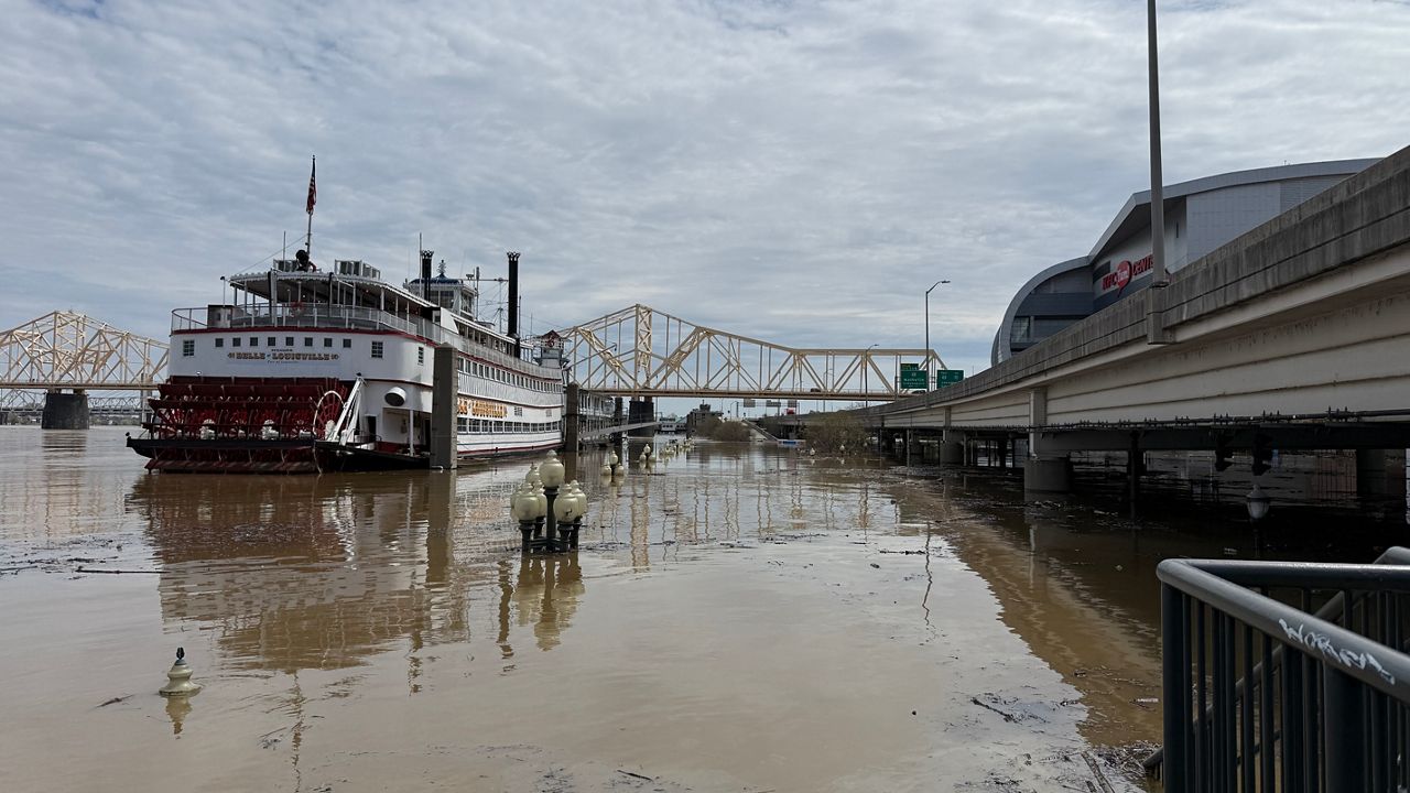
The biggest problems with Barry were always going to be related to water as opposed to wind. One problem is the initial conditions awaiting the system. The Mississippi River is near or even exceeding flood stage in many areas prior to Barry's arrival.
Rainfall amounts in parts of Louisiana, western Mississippi, eastern Arkansas, and western Tennessee will likely wind up in the 6-12 inches range. That will easily lead to some significant river and flash flooding problems.
The heaviest axis of rain will likely remain just a touch west of New Orleans, which is good news for that city and bad news for places like Baton Rouge. However, how much rain falls upstream along the Mississippi will play a huge part in determining how big of a problem this is for the Crescent City.
Some 3-6 feet storm surge flooding is possible in some Louisiana parishes. Winds gusting over 70-80mph are also possible in Louisiana and western Mississippi in addition to spin-up tornadoes.
Barry will have little to no impact in the Carolinas.