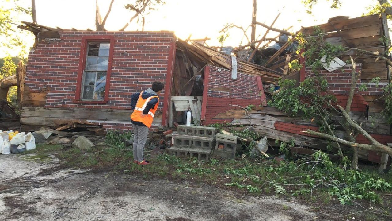
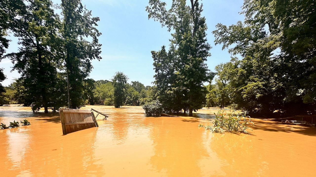
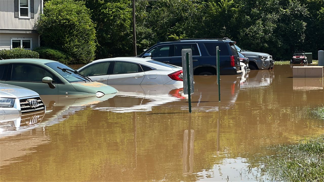
You could say Monday's storms escalated quickly. Two severe storms intensified over Wake County in the morning producing pea to golf ball-sized hail along with a tornado that touched down near Wendell and Zebulon. A third storm in the afternoon produced hail up to the size of baseballs in Johnston County.
When the morning started, the Severe Storm Prediction Center did not have any part of North Carolina in its daily severe weather outlook. Our forecast included the mention of spotty showers along with a few isolated storms, but the storms got much stronger than expected.
So, why did the storms get so strong so quickly?
There were likely several factors in play. First a disturbance in the mid-levels of the atmosphere kicked off the expected showers and storms early in the morning. At the same time, there was a large temperature contrast across central North Carolina.


The atmosphere near a cold front over the region was more unstable than forecast by computer models. That instability allowed the storms to "explode" near the front. As the first severe storms moved along the front in eastern Wake County, it was likely the front the allowed the first storm to quickly spin up the tornado that the National Weather Service has rated as an EF-2.

The same instability and front allowed the third storm in the afternoon to get strong enough to produce some of the largest hail seen in central North Carolina in the last few years.

- Sign up for weather alerts via text and e-mail
- Interactive radar
- Track storms with the Spectrum News app
Monday's weather was definitely unusual. However, it is a reminder that anytime storms are in the forecast in spring, the severe weather threat is not zero. It is also a good reminder that we should all have a way to receive weather alerts. Fortunately, tornado and severe thunderstorm warnings did provide at least some advance notice of the storms Monday. That few minutes lead time may have been enough to get most people to a safe location. No serious injuries have been reported from Monday's storms.


)


