


A strong storm system swept across North Carolina Tuesday, bringing heavy rain, powerful wind gusts and possible tornadoes.
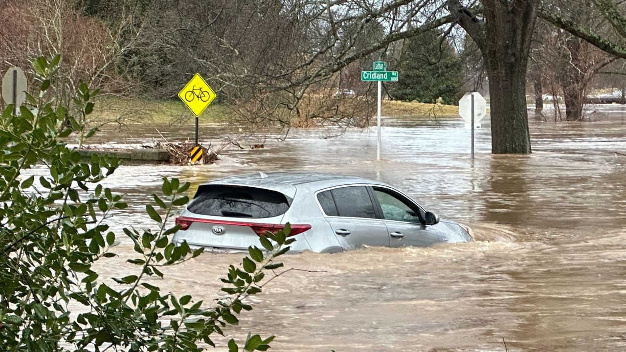
Rain started falling across the state during the overnight hours Monday, with most areas seeing between 1 and 4 inches of rain Tuesday. Flash flooding was reported in several areas of the state Tuesday evening.
A possible tornado touched down in Claremont, about 15 miles east of Hickory. One person died and two were injured when the storm destroyed homes and took down trees, according to Catawba County officials.
The storm took down power lines across the state, including along Interstate 95, which was shut down in both directions near Rocky Mount.
Freezing rain came down in the North Carolina mountains Tuesday morning, with the buildup of ice visible in places like Boone and Blowing Rock.
Big wind gusts swept the state with some reaching 40 and 50 mph for most of North Carolina, and a 69 mph gust was measured at Raleigh's airport and a 62 mph gust in Fayetteville.
Related article: Tuesday's storm threat includes heavy rain, powerful winds and tornadoes
Gov. Roy Cooper declared a state of emergency for North Carolina ahead of the storm.
"This storm system has the potential to bring high winds and other dangerous storm conditions to North Carolina, and people should be aware and take precautions,” Cooper said Monday evening.
North Carolina's price gouging law went into effect Tuesday, according to N.C. Attorney General Josh Stein. Price gouging can be reported here.
Click for more information: N.C. power outage map | County emergency management centers | Live webcams around N.C.
Here’s a look at updates from our team and public officials around the state regarding Tuesday’s severe weather: