


RALEIGH, N.C. (AP) — Redistricting plans that enlarge North Carolina’s congressional delegation and retool the state House seats each cleared one legislative chamber on Tuesday, backing boundaries that favor Republicans even as their mapping rules prevent the use of partisan data to create them.
What You Need To Know
- The House voted along party lines Tuesday for a map that redraws the chamber’s 120 districts
- The full Senate later approved a new congressional plan for 14 seats
- A Senate committee also approved recommended districts for the chamber’s 50 seats. Floor debate on this mostly GOP-drawn plan is expected Wednesday
- Democrats still argue that the proposed maps favor Republican candidates and are racially biased
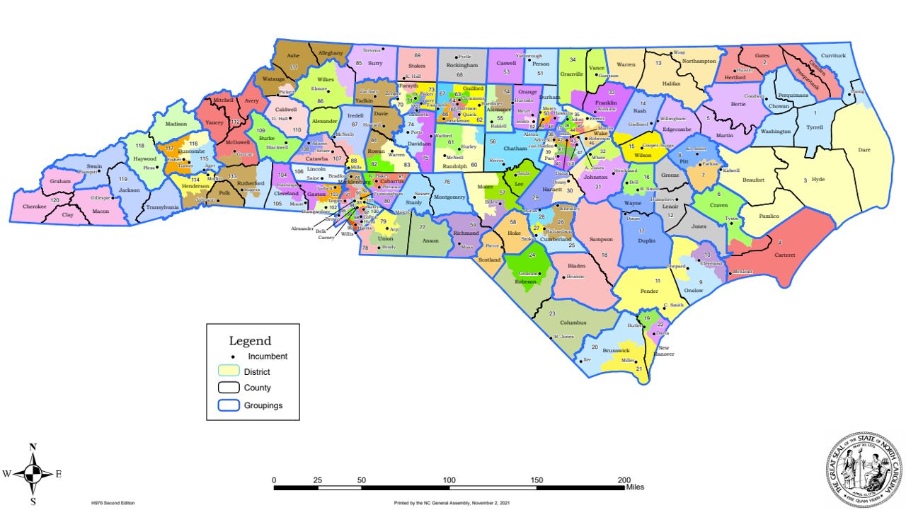
The House voted along party lines for a map that redraws the chamber’s 120 districts, which are based on population changes recorded in the 2020 census. The new boundaries — if they’re enacted and if they withstand litigation — should keep the GOP in a good position to retain the majority it’s held since 2011.
The full Senate later approved a new congressional plan for 14 seats — one more than the state’s current U.S. House delegation thanks to state population growth over the past decade. Democrats and outside analysis predict Republicans could win at least 10 of those seats — two more than they currently hold — if the map is used. District lines in the Triad would make it difficult for first-term Democratic Rep. Kathy Manning of Greensboro to return to Capitol Hill in 2023.
Earlier Tuesday, a Senate committee also approved recommended districts for the chamber’s 50 seats. Floor debate on this mostly GOP-drawn plan is expected Wednesday.
Republicans, who control both General Assembly chambers, aimed to give final approval to all three maps by the week’s end. Since redistricting plans aren’t subject to Democratic Gov. Roy Cooper’s veto stamp, courts are the likely venue for party officials and their allies to seek to overturn what they consider illegal gerrymanders.
Projected GOP seat advantages in North Carolina contrasts with closely divided statewide elections in 2020, when Republican Donald Trump narrowly edged Joe Biden and Democrat Gov. Roy Cooper was reelected by 4.5 percentage points.
Republicans defended their proposed boundaries as complying well with criteria to shape the districts and undergoing a highly public process that included live-streaming of map drawing.
“The final product that you see before you today has resulted in what I believe to be an impressive map that splits very few precincts, keeps municipalities whole and creates compact districts,” Rep. Destin Hall, a Caldwell County Republican and House Redistricting Committee co-chairman, said during floor debate before a 67-49 vote on the House map.
House Democrats said their Republican colleagues failed to act in response to the critiques at public hearings held since September, resulting in an unfair map for the next decade. They said Republicans could avoid more litigation after years of lawsuits in the 2010s that struck down maps if they made changes now.
“We’ve seen what happens when redistricting goes wrong — lots of lawsuits, lots of anger and lots of distrust,” said Democratic Rep. Linda Cooper-Suggs of Wilson County. “The bill we have before us is a missed opportunity to instill faith in this body and our democracy.”
GOP leaders won’t discuss projected partisan outcomes of elections stemming from their proposals. They point out that the House and Senate redistricting committees in August prohibited the use of data like voter registration and past statewide election results to assist with drawing lines.
The maps reflect population growth over the past decade in counties in and around Raleigh and Charlotte. With redistricting rules requiring districts to be identical or nearly identical in population totals, more lawmakers will represent top urban areas with the 2022 elections. Meanwhile, many rural areas that saw overall population declines between 2010 and 2020 will have fewer legislators representing them.
The population shifts mean that several pairs of state legislators — nearly all of them Republicans — would now live in the same proposed House or Senate district, meaning they may have to run against each other in order to return to the General Assembly in 2023.
Among those “double-bunked” under proposed maps include House Majority Leader John Bell of Wayne County, 17-term GOP Rep. Julia Howard of Davie County and Sen. Ralph Hise, a Mitchell County Republican and redistricting committee co-chairman. Other boundary changes, however, likely would give Republicans a chance to pick up Senate seats in Wake County and in northeastern counties.
In the congressional map proposal, approved by the Senate 27-22, Guilford County, which is represented entirely by Manning, would be parceled out among three proposed Republican-leaning districts. And Democratic Rep. G.K. Butterfield, who has represented the northeastern 1st Congressional District since 2004, said in an interview Tuesday his proposed district is now a “toss-up.”
Democrats complained that the congressional proposal is an illegal partisan gerrymander. They also have chided Republicans for failing to ensure Black voters can still elect their favored General Assembly candidates in regions where the federal Voting Rights Act has historically protected them.
Republican legislative leaders also decided to prohibit the use of racial data in map drawing, in part because they argue court-approved maps drawn in the late 2010s didn’t use such data. A lawsuit filed last Friday already challenges the GOP’s decision to leave out race-based data.