It's hard to believe 2022 will end soon. In terms of weather this year, Mother Nature had some major impacts in the St. Louis region. Let’s review the main events from this past year.
It seemed like the snow would never arrive in the area. January didn’t produce much in the way of the white stuff, just a mere 2.8” total, but as February began, the forecast called for “shovelable” snow. And boy, did Mother Nature produce. Two separate waves of snow impacted the region, the first one on Feb. 2 and the second on Feb. 3.
By day’s end on the 3rd, the St. Louis area picked up anywhere from 6” in Jefferson County to nearly 12” in St. Charles County. With cold air following this storm system, the snow stuck around for a few days.

The rest of February and March saw a few more snow days, but all of those events produced less than an inch each time. We saw a trace of snow on March 31 and even a tenth of an inch on April 8, but the entire season came out lower than average with just over 12 inches. The average stands at around 16 inches of snow.
Spring temperatures ebbed and flowed from mild days to chilly days. May, however, decided to bring the heat.
May 9-14 saw five straight days of record-breaking temperatures from highs in the lower to mid-90s. This had people questioning if we skipped spring and went straight to summer.
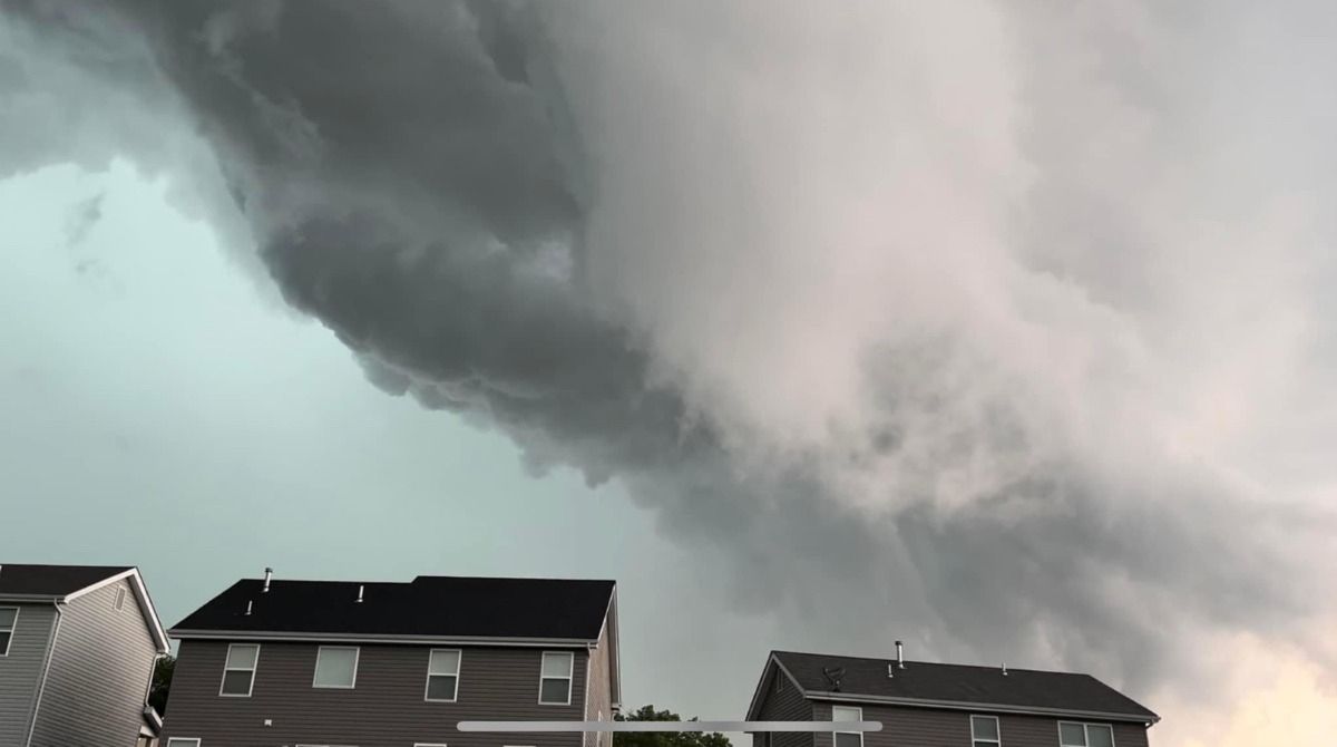
May also brought some active weather to the region. May 19 saw severe thunderstorms, which produced tornadoes.
These storms developed from an earlier group of thunderstorms, known as a mesoscale convective vortex. This system interacted with leftover instability, spawning a quasi-linear convective system.
The storms moved over the region late afternoon and spawned four EF-0 tornadoes in St. Louis County in a span of 17 minutes, from 4:50 p.m. to 5:07 p.m. Affected cities included Creve Coeur, Frontenac, Kirkwood and Eureka. Damage in these areas consisted of snapped tree branches, uprooted trees and trees falling on homes. Thankfully, no injuries were reported.
June and July saw temperatures reach the 90s and even 100s. On July 23, the mercury surged to 105 degrees. Check out how my son and I baked chocolate chip cookies on the dashboard of my car.
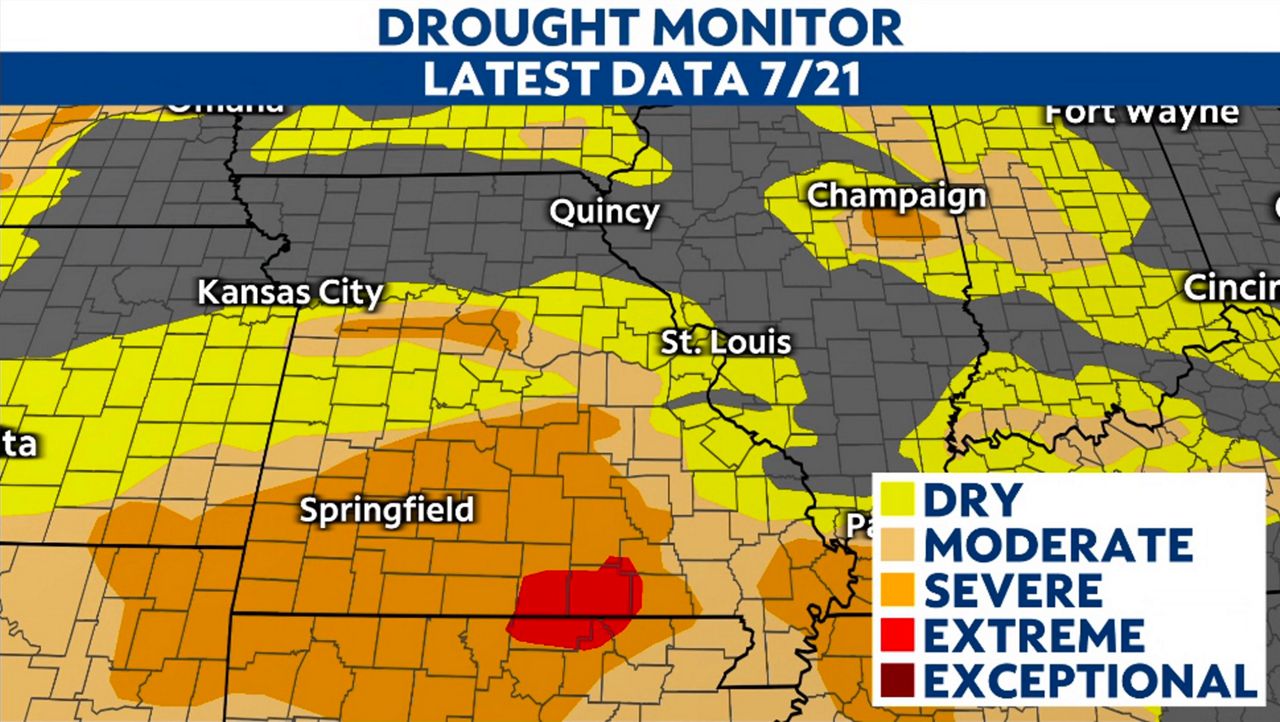
With the hot weather also came dry weather, prompting major drought concerns all across the state. On July 21, 2022 Missouri Gov. Parson signed an executive order to accelerate drought response actions after parts of the state went into severe drought.
The drought conditions would come to an end in the St. Louis area on the morning of July 26, 2022 as a complex of thunderstorms moved through the region.
These storms ended up training, meaning they moved over the same area for several hours. Rain continuously fell in the region from 11 p.m. on July 25 to 2 p.m. on July 26, producing flash flooding. Rainfall rates exceeded 2” per hour, resulting in 9.06” falling in 15 hours at St. Louis Lambert International Airport.
7.68” of rain fell in one six-hour period. It broke the daily all-time wettest day at Lambert Airport and was compared to a 1 in 1000-year event. Some regions recorded upwards of 11” of rain during that time. This amount of rain in such a short period of time caused severe flash flooding in the area.
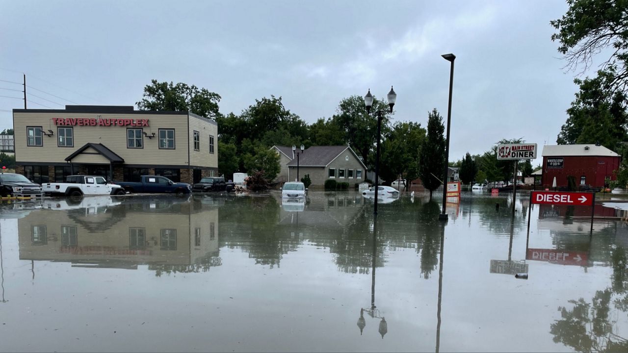
Several regions saw impacts including University City, St. Peters and St. Clair County, Illinois. Hundreds of homes and businesses sustained damage. Unfortunately, two fatalities were reported.
November seemed to have all four seasons in one month. In fact, it squeezed all four seasons into one week, from temperatures in the 70s and 80s to snowflakes.
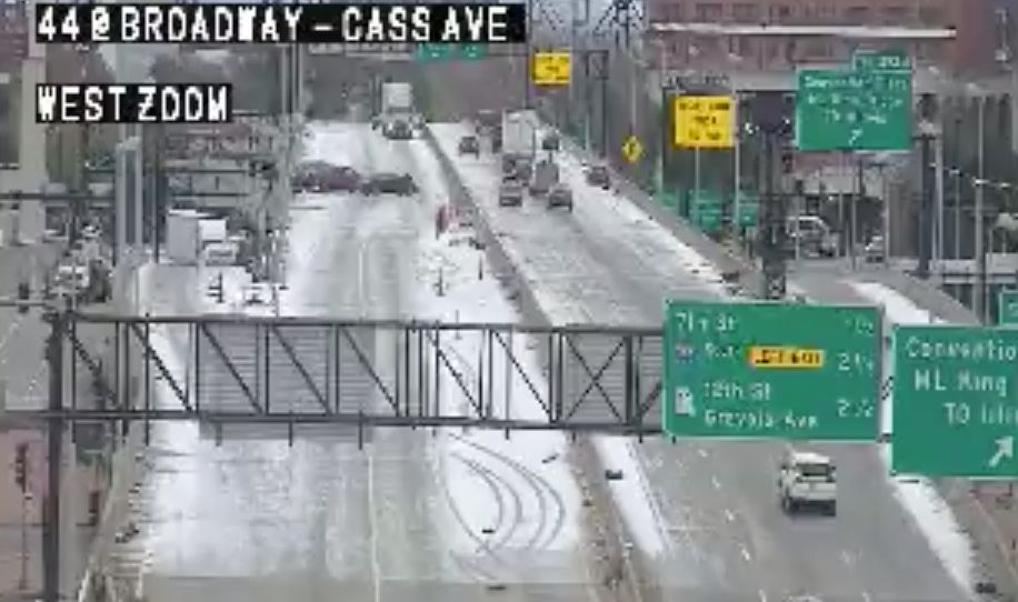
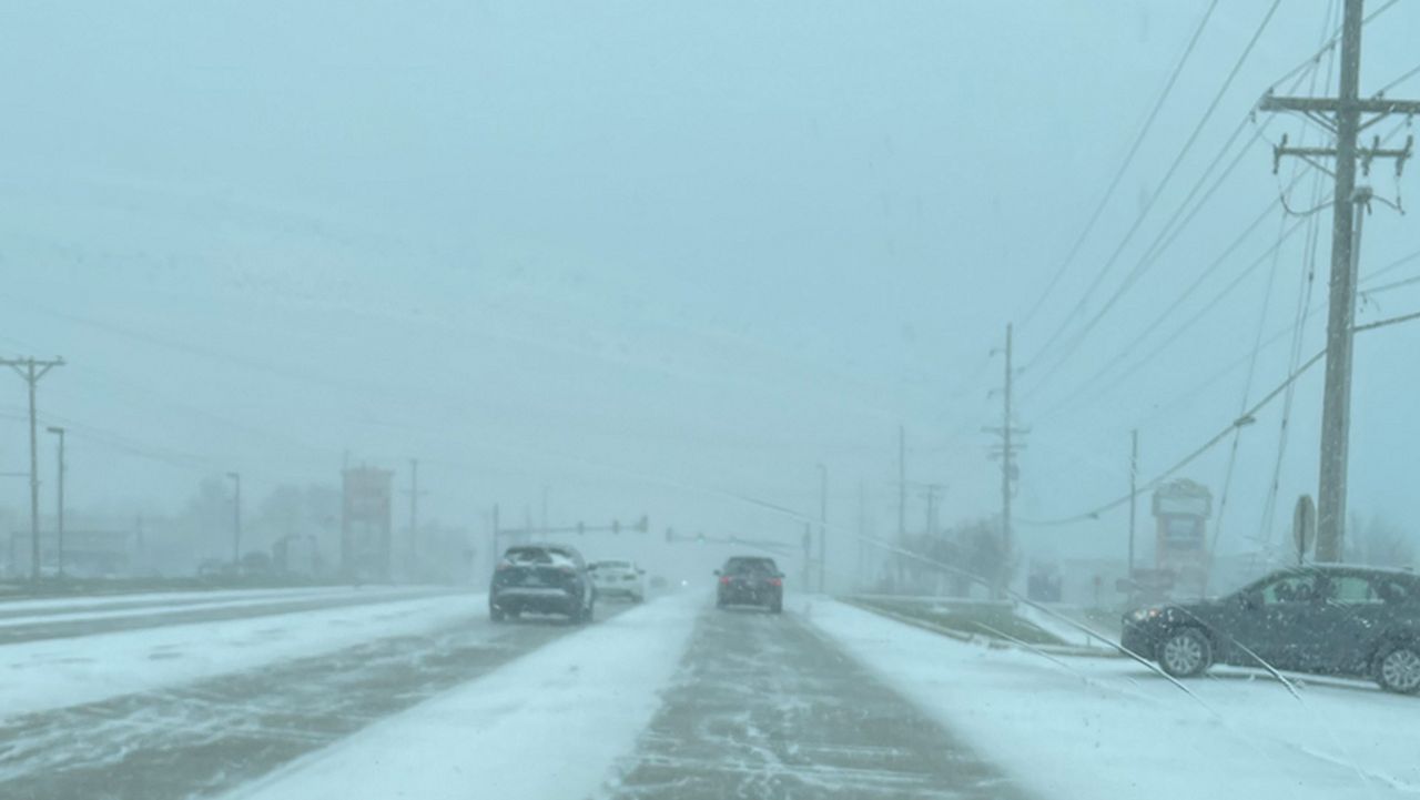
The morning of the 12th, residents from Farmington, Mo. to Effingham, Ill. awoke to 4-6” of snow covering the ground. Numerous accidents happened on some major highways in south St. Louis City as the forecast called for just a few flakes.
Another snow event, this time well-forecast, produced a quick 1/2" to 2" of snow north and west of the city on Nov. 15. With mild ground temperatures, this snow only accumulated in the grass and melted by noon.
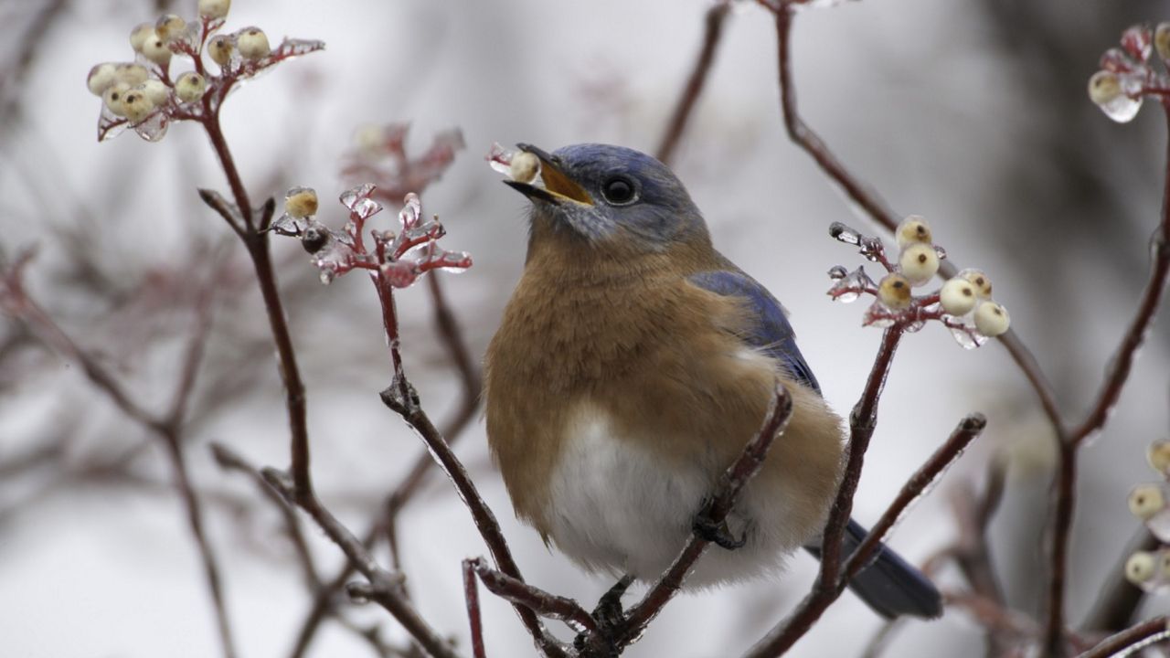
The late-December winter storm may not have been a huge snowmaker, but it brought artic air into the region. Temperatures plunged from close to 40 degrees to below zero in just 12 hours. Winds gusted over 40 mph, making it feel more like 30 degrees below zero at times.
As we head into 2023, let's hope Mother Nature becomes a little less active in the new year.
Our team of meteorologists dives deep into the science of weather and breaks down timely weather data and information. To view more weather and climate stories, check out our weather blogs section.