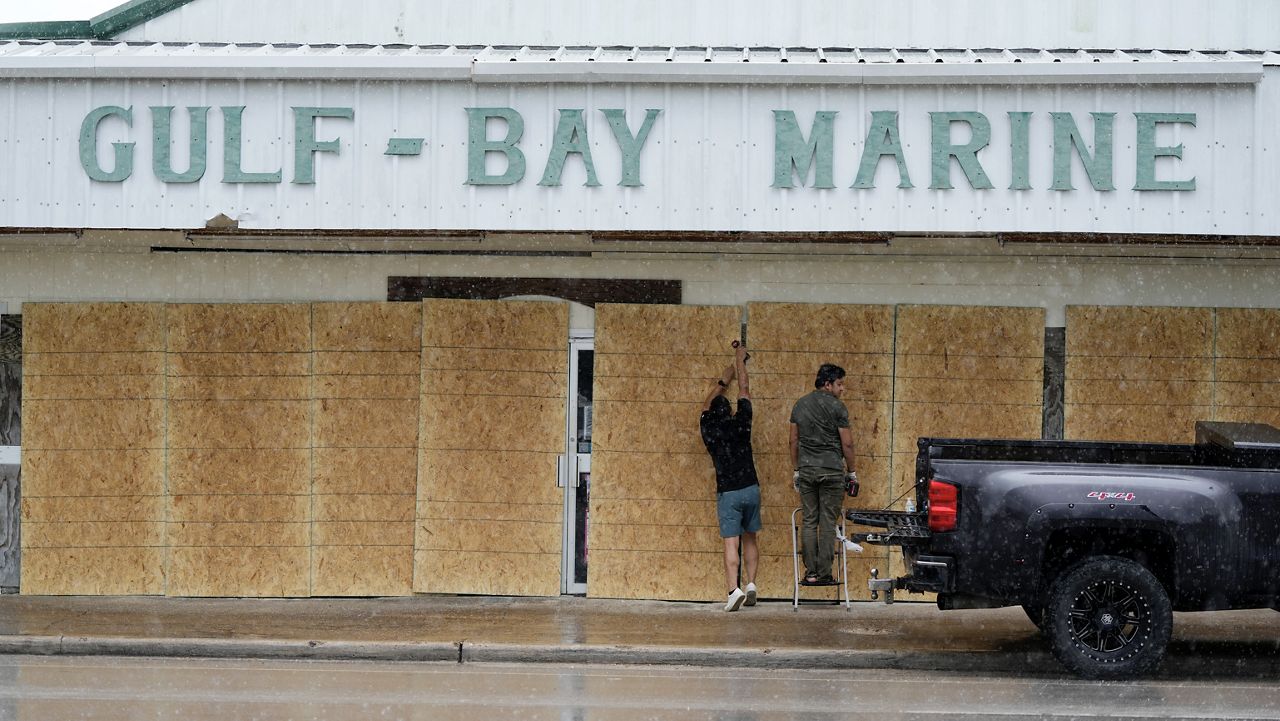
Dangerous and ‘potentially historic’ fire weather conditions for wildfires are expected Tuesday across Central and South-Central Texas. A cold front that brought showers and storms to the state early Tuesday morning has passed, and in its wake leaves very gusty winds.
The National Weather Service (NWS) has a rare ‘level three’ risk for extremely critical fire conditions for Austin, San Antonio, Del Rio and all points west along I-10.
What You Need To Know
- Winds will be sustained at 25-35 mph with wind gusts reaching 45-55 mph
- Very low relative humidity and rapidly drying ground fuels will spark fires quickly
- Most wildfires are caused by humans - many everyday tasks can create sparks
- Always follow burn bans and regulations which vary county by county
West to northwest winds of 25-35 mph with gusts of 45-55 mph are expected across much of the state Tuesday. We also have a very dry air mass in place. Relative humidity values, which describes the relationship between temperature and the moisture present in our atmosphere, is very low.
Minimum relative humidity values will fall to between 5-15% Tuesday afternoon.
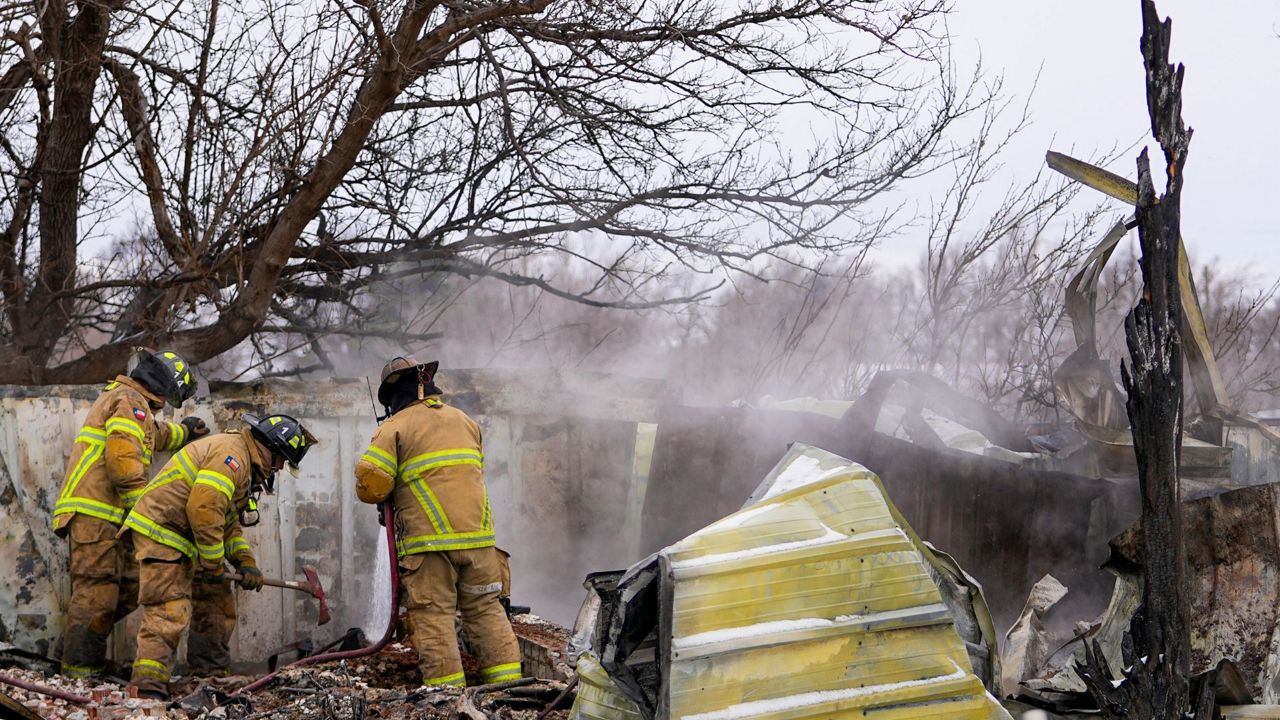
Red Flag Warnings are in effect until 9 p.m. CST Tuesday evening for strong winds and very low humidity. Any fires that develop will rapidly increase in size and intensity. These fires will move quickly, too. It will be nearly impossible to control or mitigate loss of land or property.
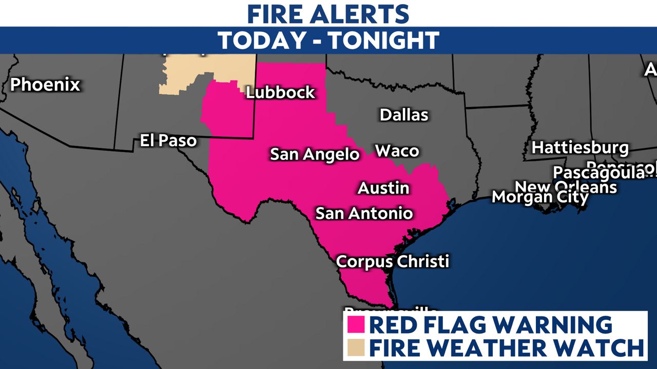
A Red Flag Warning means that critical to extremely critical fire weather conditions are either occurring now or will shortly. A combination of strong winds, low humidity and warm temperatures contribute to extreme fire behavior.
A High Wind Warning is in effect for Val Verde County while the rest of Central and South-Central Texas are under a Wind Advisory Tuesday. Wind this strong can easily toss loose objects and make it challenging to drive - especially on north/south roads.
It is also possible to see blowing dust, debris and heightened pollen in the air. This may make it difficult for those with respiratory ailments to be outside for long periods of time. Please exercise caution during the day Tuesday.
Our team of meteorologists dives deep into the science of weather and breaks down timely weather data and information. To view more weather and climate stories, check out our weather blogs section.