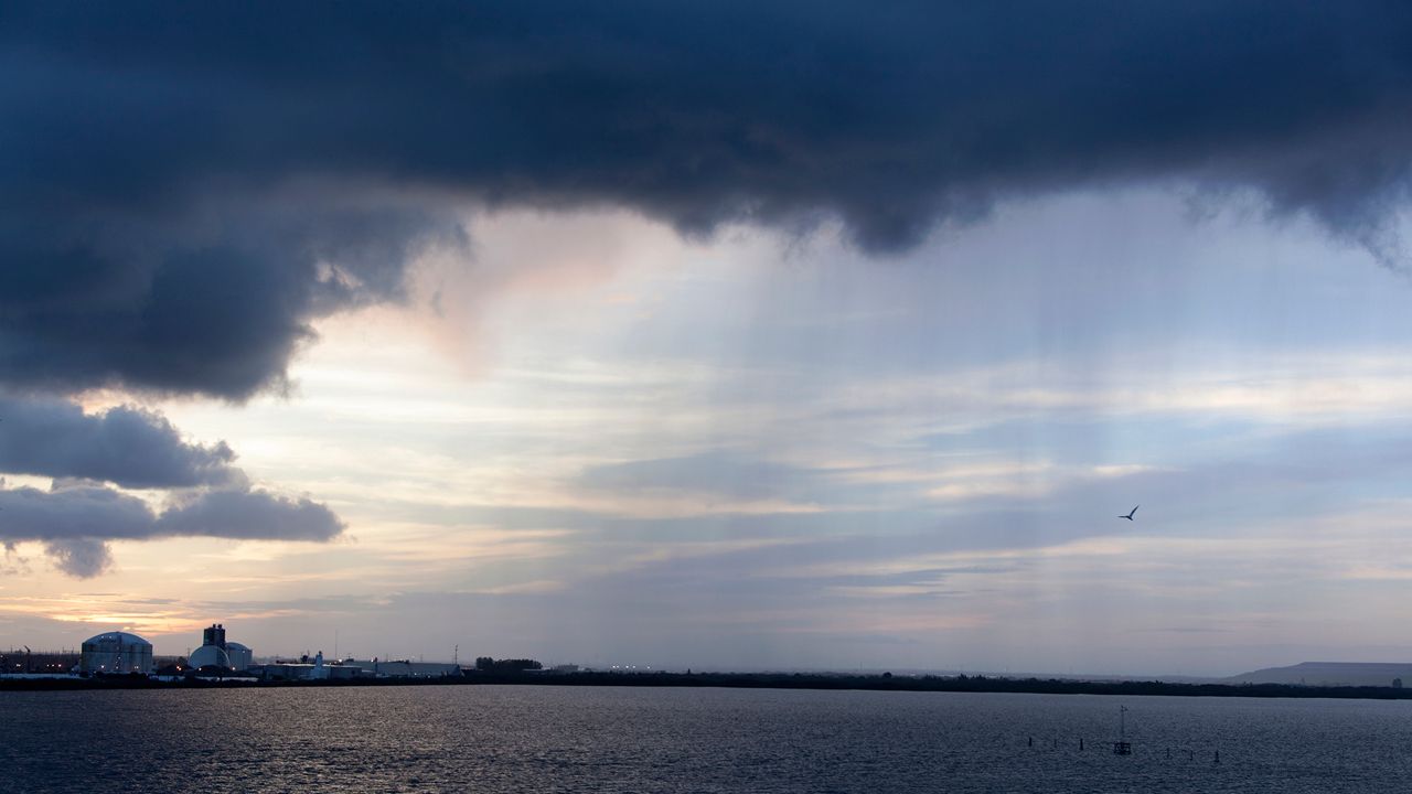
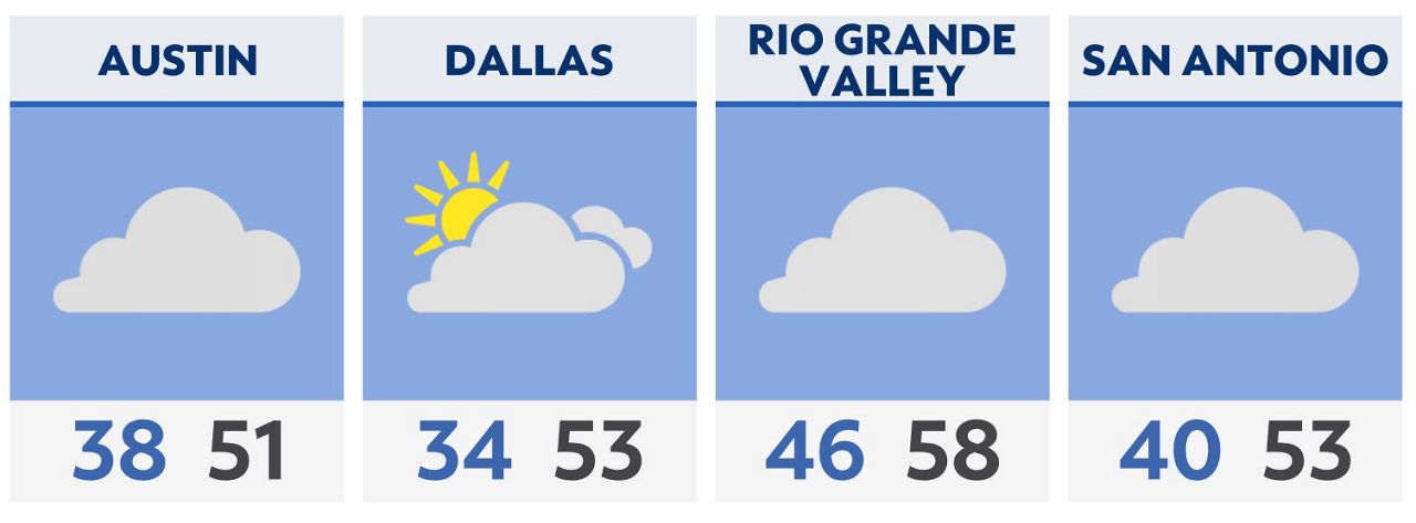
Wednesday evening and on Thursday, multiple rounds of showers and thunderstorms roll in first through Laredo, then pushing through the southern ranch lands of Texas into the Coastal Bend.
San Antonio will also bear the brunt of some of the heaviest rain with embedded thunderstorms widespread across South Central Texas Thursday through Friday.
Austin will see rains pick up into the Thursday first from the south, then cruising through the region with waves of thunderstorms mixing in.
North Texas will receive most of their rain Thursday night into Friday with more scattered activity, but thunderstorms can’t be ruled out.
There will be a potential for localized to flash flooding in areas that receive multiple rounds of storms. Average rainfall totals will range from 1 to 2 inches in North Texas. Central Texas should range from 2 to 3 inches. South Central Texas could pick up 3-4 inches.
The excessive rainfall forecast is at a marginal to slight level of seeing flash flooding into the coastal regions of Corpus Christi and Victoria, where up to 5 inches of rain is possible.
Please make preparations now and make sure you have the rain boots and umbrella ready for the deluge of rain headed our way!
Click here for the latest 7 Day Forecast | Click here to share your weather photos


