


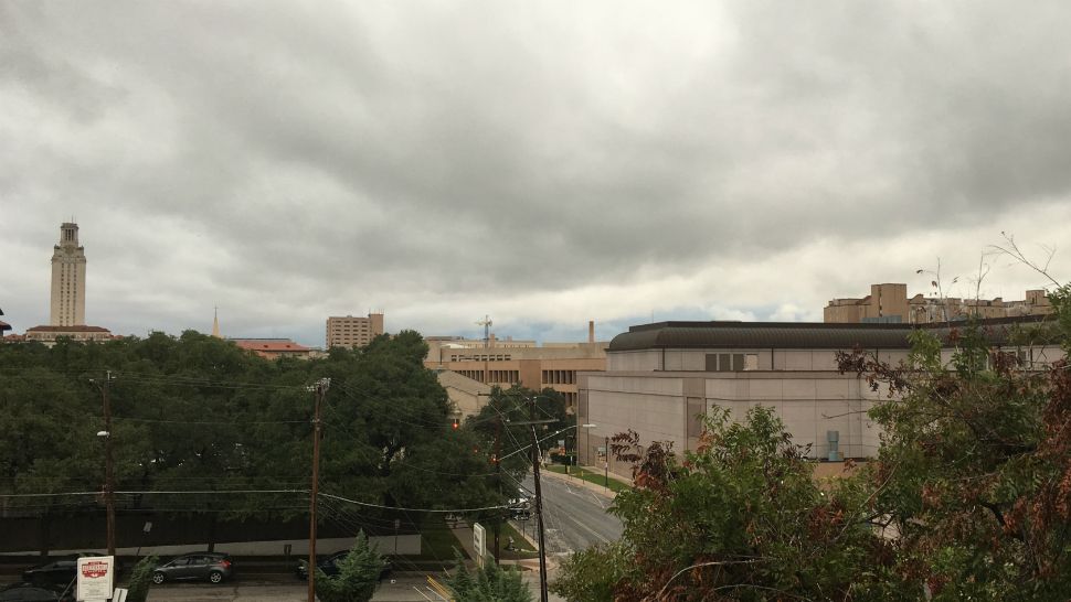
AUSTIN, Texas -- It felt like Austin skipped right over fall Thursday night into Friday morning and dove headlong into winter.
According to Spectrum News Chief Meteorologist Burton Fitzsimmons, a strong cold front arrived in downtown Austin about 3:45 a.m., dropping temperatures 20 degrees in two hours.
Current Conditions | Satellite & Radar | 7 Day Forecast | Allergy
There was a fair amount of rainfall in Williamson County and Hill Country Friday morning, and lighting was visible about 5:30 a.m.
The front additionally brought strong northerly winds with 15-25 mph sustained winds and gusts between 30-35 mph. A wind advisory will remain in effect through 6 p.m. Friday.
Even with the rainfall, a very high fire threat remains across the region Friday.
Fitzsimmons said it will feel like it’s in the 40s for much of the day and the rain will taper off in the afternoon.
We’ll start the weekend off with a chilly Saturday morning. It will be in the 40s in Hill Country and other rural areas and right around 50 degrees in metro Austin. Temperatures will gradually increase as the day progresses, with sunshine and a high temperature topping out at around 70 degrees.
We'll be back in the 90s by next week.
We’ll have chances for rain every other day next week, and it looks like another cold front will arrive Tuesday night into Wednesday morning.
WEATHER ON THE GO: Download the Spectrum News app and watch our live stream no matter where you are!
GET WEATHER ALERTS: Sign up to receive weather text alerts from the Spectrum News Weather Team