


AUSTIN, Texas — A Sunday night storm before 9 p.m. Sunday begain dumping hail and bringing strong winds to Central Texas.
Current Conditions | Satellite & Radar | Travel Maps | 7 Day Forecast | Allergy
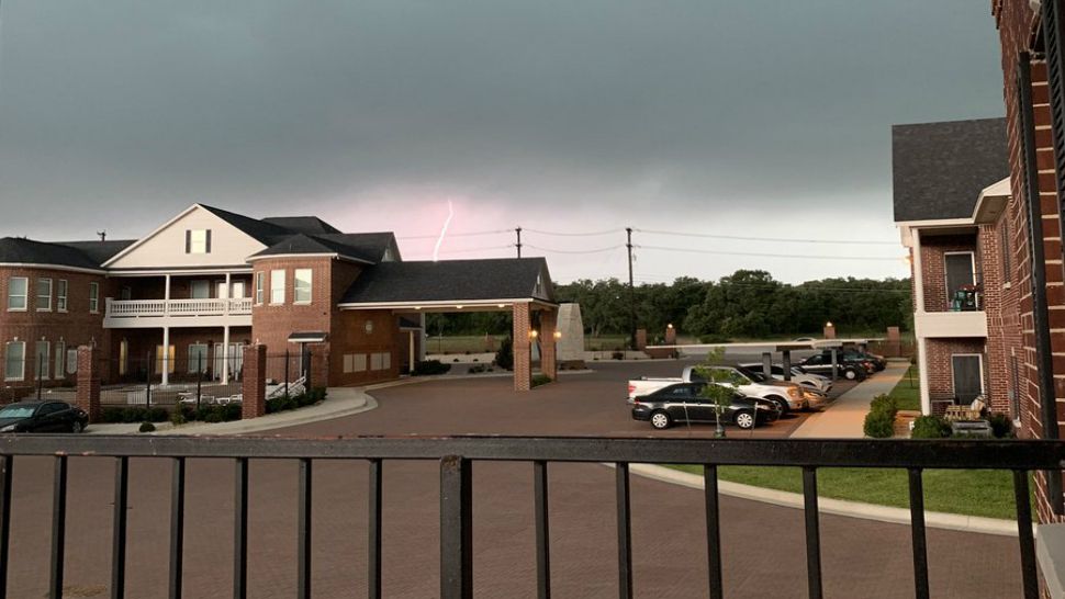
A thunderstorm was located over Georgetown and produced 60 mph winds and quarter size hail. The storm was reported to be moving east at 15 mph. It was expected the hail would damage roofs, siding and trees. In addition to Georgetown, impact was anticipated in Round Rock, Taylor, Serenada, Hutto, Jarrell, and Weir.
Just after 10 p.m., a tornado warning was issued for central Kerr County and southwestern Gillespie County. People in those areas were urged to take cover. The warning expired at 10:45 p.m. Sunday.
LINK | SEVERE WEATHER 2019
About 1:10 a.m. Monday, a flash flood warning was put into effect for Bastrop, Caldwell and Travis counties. It was set to remain in effect until 4:15 a.m.
Energy provider Oncor after 9:30 p.m. reported roughly 2,839 customers without power in Williamson County. Restoration was estimated at 5 a.m. Monday.
LINK: Oncor Power Outage Map
WEATHER ON THE GO: Download the Spectrum News app and watch our live stream no matter where you are!
GET WEATHER ALERTS: Sign up to receive weather text alerts from the Spectrum News Weather Team
