

The sunlight continues to grow shorter and our weather continues to slowly cool from the summer season.
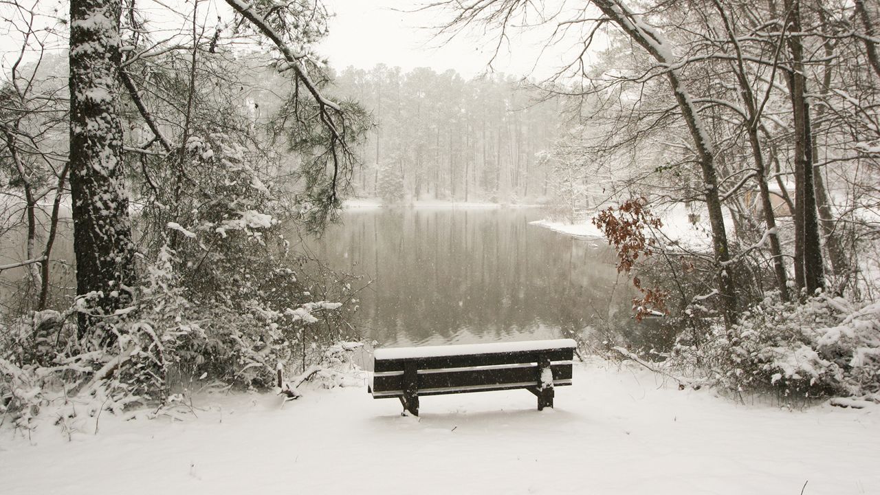
This got me thinking about the inevitable. That four-letter word that I do not care for as much as I did growing up in Webster: snow!
I loved it because I enjoyed playing in it, watching it, shoveling it... heck, even eating it! The snow is what hooked me on the weather and led to a career in meteorology.
Now that I have grown older, I prefer to enjoy the warmer, brighter time of year. I still do enjoy watching the snow out the window adjacent to a warm fire. But navigating the roads with less skilled drivers? Not so much!
So when do Rochester and the Finger Lakes typically see our first snowflakes? Areas south of the city, well inland from the still-warm waters of Lake Ontario, typically see their first flakes by the middle of October. The closer to the lake, the later we typically see snowflakes.
Our official climatological station is the Frederick Douglass Rochester International Airport, where we have detailed records dating back to the mid-1800s.
On average, the first flakes are seen at this location on October 23rd. The first measurable snowfall of at least 0.1 inch is November 8th and the first inch is November 20th. But these are just the average dates for our frozen friends to show up. Some years are much earlier, or later as well.
The earliest reported flakes were September 20th, 1956. The latest arrival was November 20th, 1918. The earliest measurable snow of 0.1 inch or more was recorded on October 9th, 1925 and the latest was December 10th, 1948. In 1906 on October 11th, we experienced our earliest one inch of accumulation. In 2015, we didn't see our first inch until December 28th! Let's go 2015!
Just kidding, winter weather enthusiasts, it's your turn to dance! I hope you have a bountiful supply of cold and snow this season.