


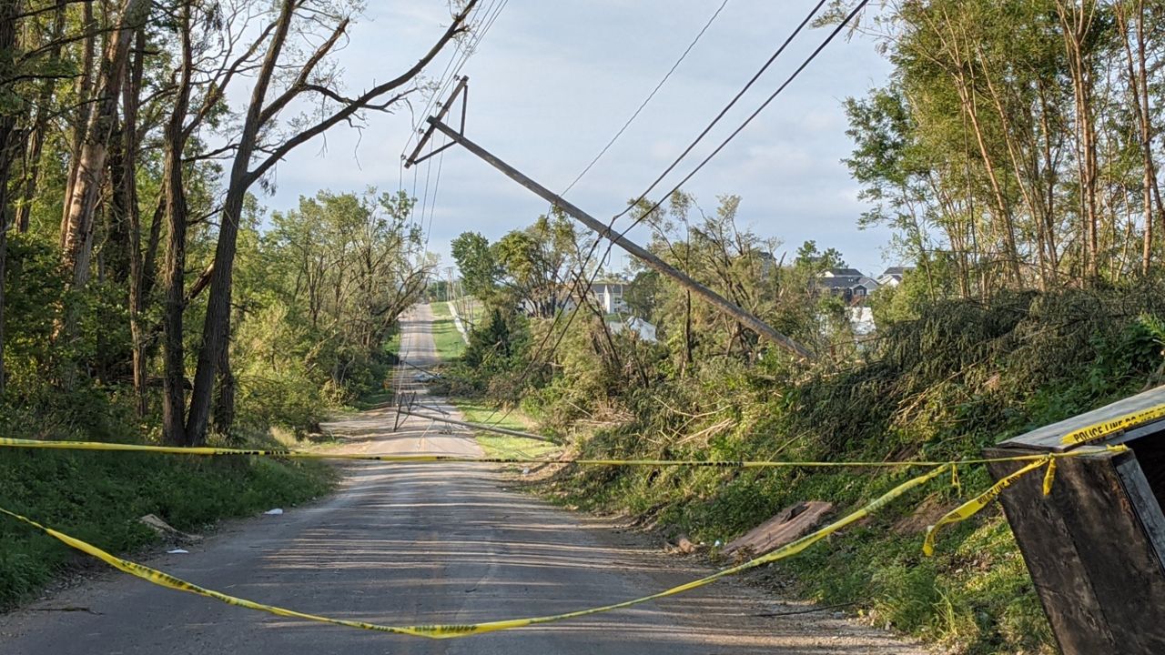
Straight-line wind damage accounts for half of all severe weather reports.
Even though straight-line wind speeds only max out at EF1 tornado strength, they can still damage life and property.
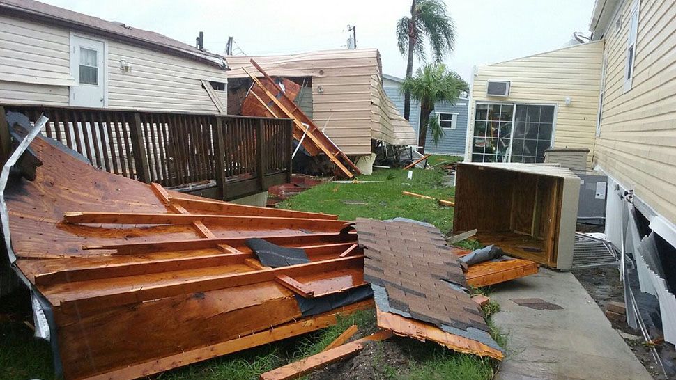
While anyone living in a thunderstorm-prone area is at risk for straight-line wind damage, residents in mobile homes are at a higher risk for injury and death. Even anchored mobile homes are susceptible to heavy damage with winds over 80 mph.
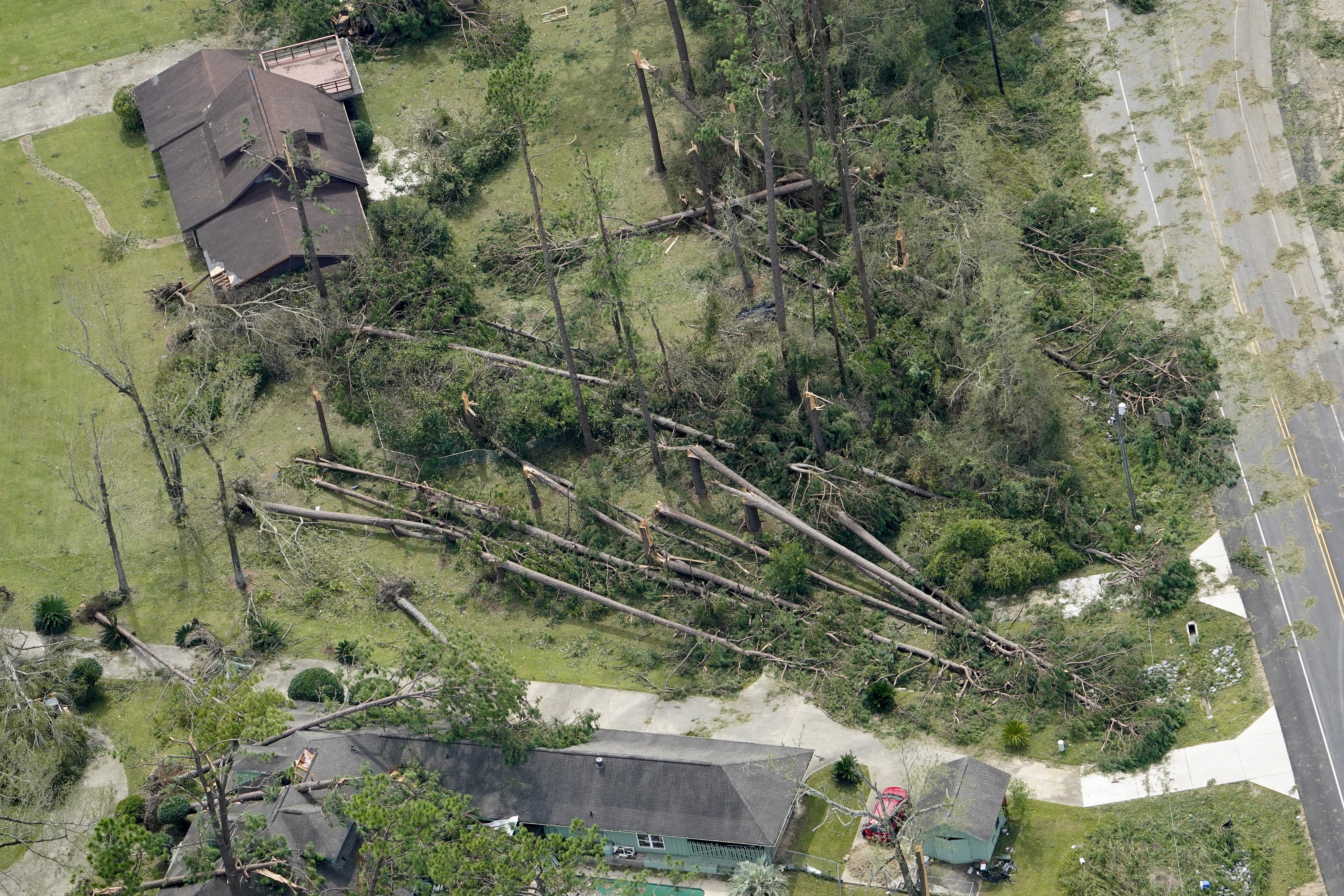
Straight-line wind damage can sometimes be confused as tornado damage, but many times, damage and debris are found in a straight line, hence the name.
There are several types of damaging winds that thunderstorms produce.
A macroburst is an outward burst of strong winds at, or near, the surface that affects an area greater than two and a half miles.
Microbursts essentially happen the same way as macrobursts but are typically only five to ten minutes long and impact an area less than two and a half miles.
There are two types of microbursts, wet and dry. Wet microbursts are accompanied by heavy rain, while dry microbursts happen with little to no rain.
Microbursts can be dangerous to aircraft, especially during landing and take-off.

A derecho is a long-lived, widespread damaging wind event associated with a fast-moving line of showers and thunderstorms.
To be officially declared a derecho, the damage path needs to be greater than 240 miles and include wind gusts greater than 58 mph along most of its length.
The Capital Region experienced its first derecho in over 20 years this past October, which you can read more about here.
Gust fronts are the leading edge of rain-cooled air that interacts with warmer thunderstorm inflow.
Gust fronts are marked by a temperature drop, wind shift and gusty winds out ahead of a thunderstorm.
Often, a shelf cloud will accompany a gust front.
Haboobs also occur as a result of thunderstorm outflow winds. Haboobs typically occur in the Desert Southwest.
Strong winds create dust storms that can reduce visibility.
Safety measures for straight-line winds are pretty much the same for tornadoes.
- Take severe thunderstorm warnings seriously. When the thunder roars, head indoors
- If you're not near a shelter, crouch down in the lowest spot you can find
- If you're driving, pull over into a safe place with your car facing the direction of the wind
- Stay away from power lines and trees that could fall on you
- If you're inside, head to the lowest level of your home, and stay away from windows