


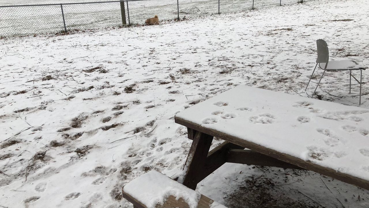
Our first widespread winter snowfall continues on Sunday, but most of the accumulations have already fallen.
Cleanup shouldn't be too difficult on Sunday, as winds are not that gusty and it's not as cold as it could be. It's still best to pace yourself, considering the snow will turn a bit more compact on the ground as the day progresses.
While snow continues through this evening, it will be much lighter. In fact, some of the weather alerts have been downgraded.
The morning features snow-covered roads and by this afternoon, we will be dealing with wet roads as snow melts on treated surfaces.
Winter Storm Warnings and Winter Weather Advisories are still posted across much of the Northeast.
The Hudson Valley near Poughkeepsie and in the Catskills have seen the highest snow accumulations with this storm. Many are in the double digits, some nearing 12 inches.
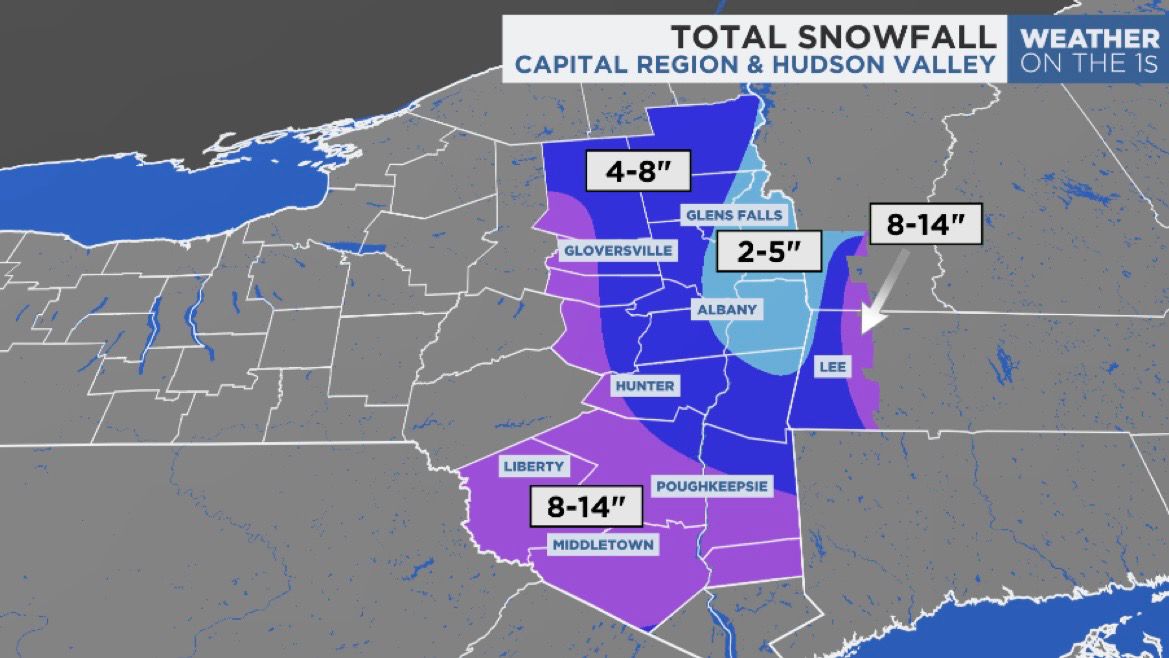
For the Albany area and north, it's likely we'll only see snow totals in the single digits. Accumulations will range between 4 to 8 inches, with locally higher snow totals in the Helderbergs and the hills west and south of Albany.
Our team of meteorologists dives deep into the science of weather and breaks down timely weather data and information. To view more weather and climate stories, check out our weather blogs section.