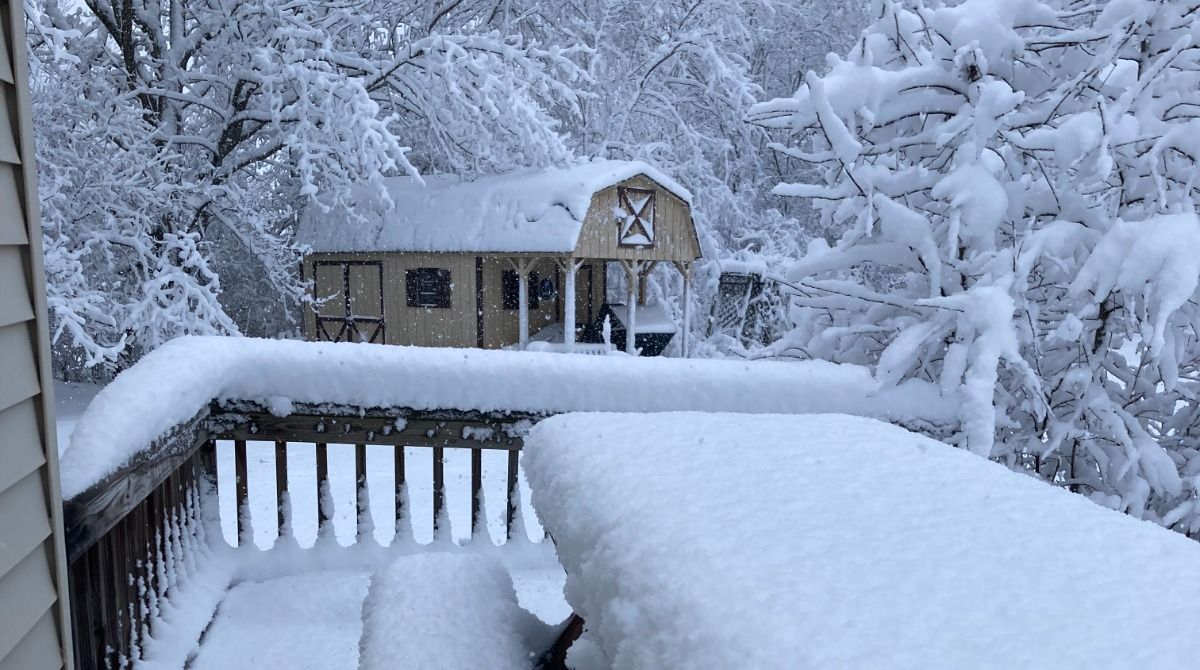
Only additional light accumulations are expected through tonight, but gusty winds could bring more power outages.
After seeing a period of moderate to heavy snow this evening with snowfall rates of 1 to 2 inches per hour, look for snow to end from west to east overnight.
The exception to this will be the Rensselaear plateau, Berkshires and Greens where light snow will persist into Wednesday morning. Additional delays and closings are likely for Wednesday morning for higher terrain areas outside of the Hudson Valley.
Additional power outages will be possible into Wednesday because of strong winds, which may gust as high as 45 mph.
Winds will relax heading into Thursday and with high temperatures in the 40s and 50s into Saturday, look for a good deal of melting to take place.
Here’s a look at estimated snowfall accumulation from last night through tonight. It is in your best interest to stay home and off the roads during the storm in order to stay safe, as Gov. Hochul recommends.
Our team of meteorologists dives deep into the science of weather and breaks down timely weather data and information. To view more weather and climate stories, check out our weather blogs section.