


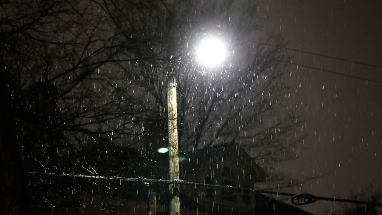
Snow and mixed precipitation will continue through tonight for some.
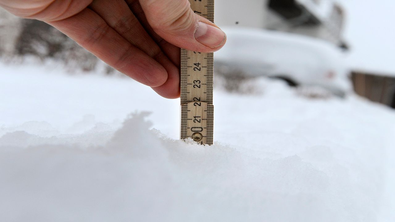
The heaviest snow has ended for areas in the Hudson Valley, but not before dropping 3 to 6 inches with locally higher amounts.
Passing snow showers through the night and into Tuesday will keep some roads and streets slick. However, additional accumulation will be minor. Higher elevations may pick up another inch.
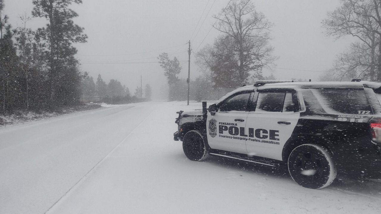
Gusty winds will be another concern tonight, especially for the Berkshires and Greens. Heavy, wet snow combined with strong winds like this could make for localized power outages.
)