

After getting through the majority of the day dry, heavy rain is building in from the west. Check radar here.
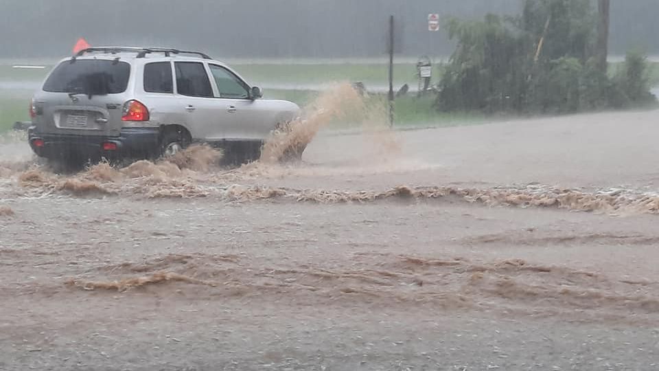
Today was another summer-like day with highs in the 70s/80s and high humidity. While we did see a few showers here and there, the heavy rain managed to hold off until now. Heavy downpours and training thunderstorms will bring a widespread heavy rainfall this evening into the overnight. 1 to 2 inches of rain is expected area-wide with locally higher amounts possible.
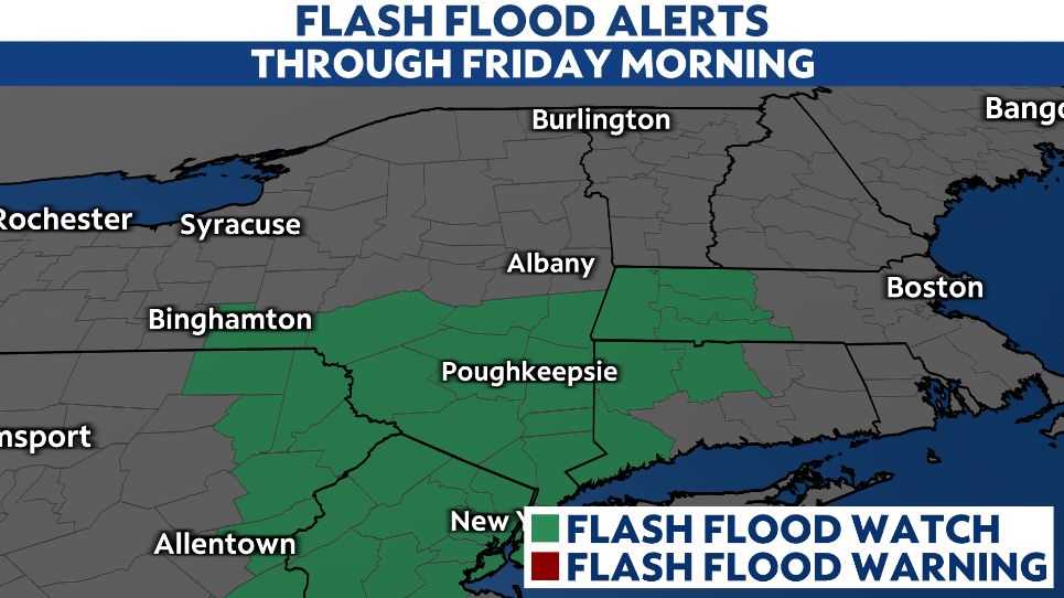
A Flash Flood Watch has been posted for areas south of Albany through Friday morning. Ponding and minor flooding will be possible, especially in low-lying areas and poor drainage spots. If you encounter a water-covered road while traveling, turn around and find and alternate route. It only takes about a foot of moving water to sweep away a four-door sedan.
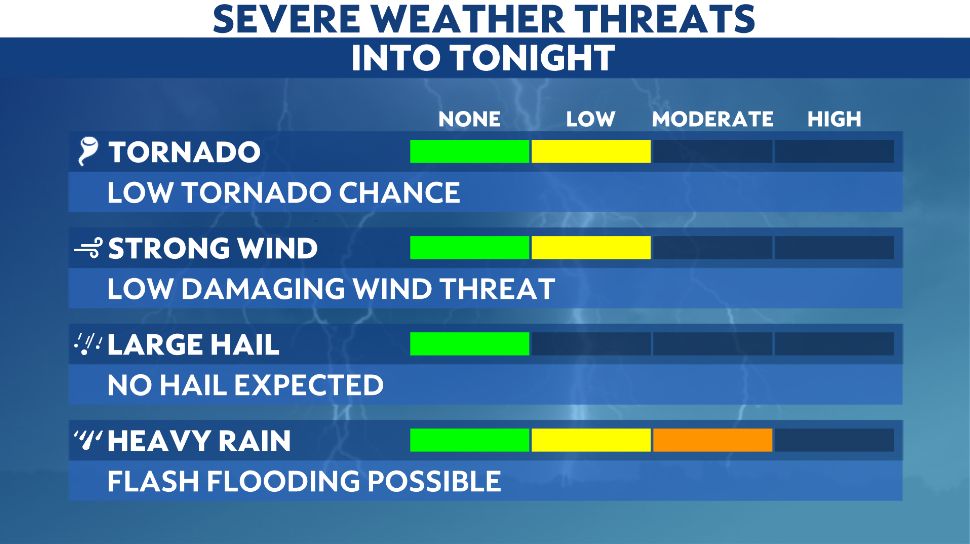
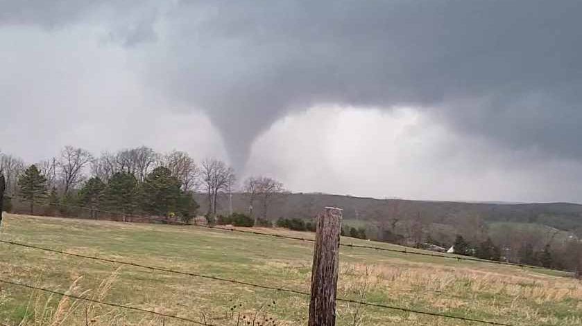
Along with the flash flood threat, there is also a low chance for damaging winds and even a quick spin-up tornado due to a high amount of low level shear.
Sign up for severe weather alerts to stay one step ahead of the storms.