


On Sunday, clouds increase, but we get through most of daylight dry. Highs in the 30s to near 40.
A frontal system moves in, bringing a mix of rain, snow, and also sleet/freezing rain. Lows in the upper 20s/low 30s.
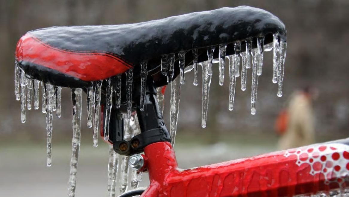
Where persistent freezing rain occurs, ice accumulation could lead to some very difficult travel conditions. This will continue into and throughout Monday, with areas west, north, and east of Albany of highest concern. Tree limbs could snap, wires could go down, and there could be some power outages. Highs in the mid 30s.
Late Monday, there could be a changeover to some snow north of Albany. Through Tuesday morning, the highest ice accumulations could be anywhere between .5” to .75”.
We’ll find a wintry mix of rain and snow on New Year’s Eve, but not raining or snowing the whole day. Highs near 40.
On New Year’s Day, some lake effect snow could sneak into the Capital Region. Highs in the upper 30s.
We’re dry and cloudy on Thursday. We remain mild into Friday as rain returns, and we’re even warmer on Saturday.