You’ve probably heard of El Niño and La Niña, the Pacific Ocean temperature patterns near the equator that influence our weather. But there’s another set of “teleconnections” that can mean the difference between mild temperatures or a sharp arctic blast.
Either one of these can guide big-scale weather patterns across the Northern Hemisphere, including the United States. When they phase up together, that influence is often strong.
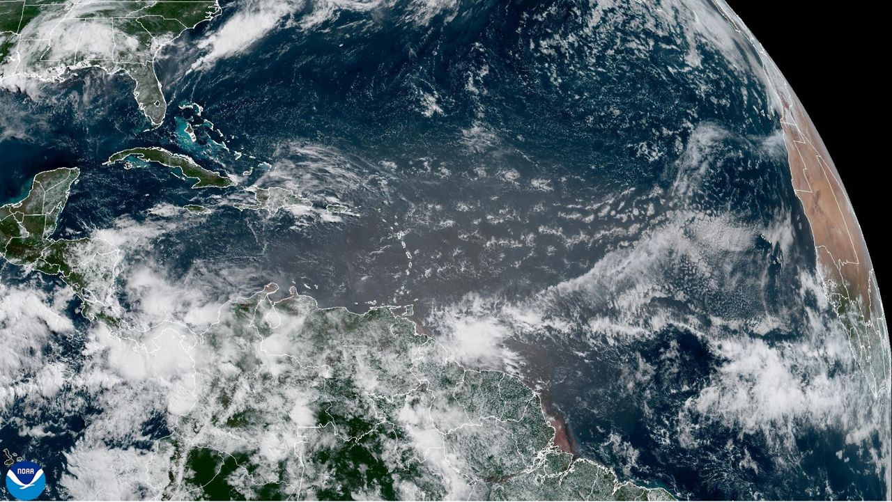
The atmosphere has some semi-permanent features. One of them is high pressure in the Azores of the North Atlantic, and the other is low pressure near Iceland. The difference in pressure between these determines which “phase” the NAO is in.

Why does this matter? A difference in pressure alters the jet stream’s position, which determines temperatures, moisture, and the track of weather systems that bring rain and snow.
When the NAO is in the “positive” phase, pressure is lower in the north and higher farther south. This helps keep arctic air bottled up, so the eastern United States tends to be warmer.
On the flip side, a “negative” NAO strengthens high pressure in the north, helping to drive cold air into the U.S.
While the NAO fluctuates often, it’s common to see long periods when one phase dominates.
The AO considers the ring of winds flowing around the Arctic. Those winds are generally stronger in the positive phase, which aids in keeping really cold air near the poles – like a tight lasso keeping it roped in.

In a negative AO, those winds weaken and cold air can more easily spill southward. The wavier jet stream can also foster more active storm systems in our part of the world.

Like the NAO, it frequently moves back and forth between positive and negative phase, but sometimes one is much more common than the other.
While scientists have observed the broad aspects of these for decades, they continue to research the details. For example, there’s evidence that these shifts affect weather patterns in Europe more than North America.
Like any kind of weather, meteorologists also want to predict these better, too. Accurately forecasting the NAO and AO, when combined with other information, could help find trends for temperatures, precipitation, hurricane tracks, and severe weather.
When the NAO and AO line up with one another, their influence on weather patterns is usually more likely to happen. But what about if they’re opposite each other? And how do they interact with other phenomena such as El Niño?
Since our vast atmosphere and oceans tie together, scientists trying to understand those connections have their work cut out for them.
Justin Gehrts - Senior Weather Producer
Justin Gehrts is a senior weather producer for Spectrum News. He has well over a decade of experience forecasting and communicating weather information. Gehrts began his career in 2008 and has been recognized as a Certified Broadcast Meteorologist by the American Meteorological Society since 2010.


