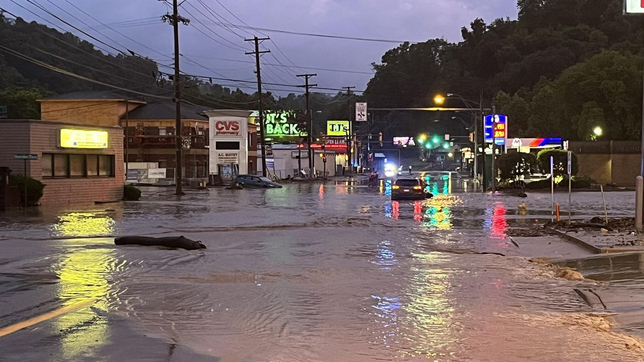
La Niña brings different impacts across the U.S. What you see depends on where you live.
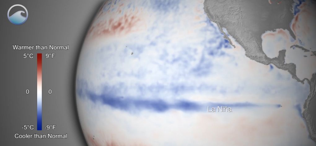
La Niña and El Niño are opposite phases of the El Niño-Southern Oscillation cycle.
According to the National Oceanic and Atmospheric Administration (NOAA), this cycle describes the fluctuation in temperature between the ocean and atmosphere in the east-central Equatorial Pacific.
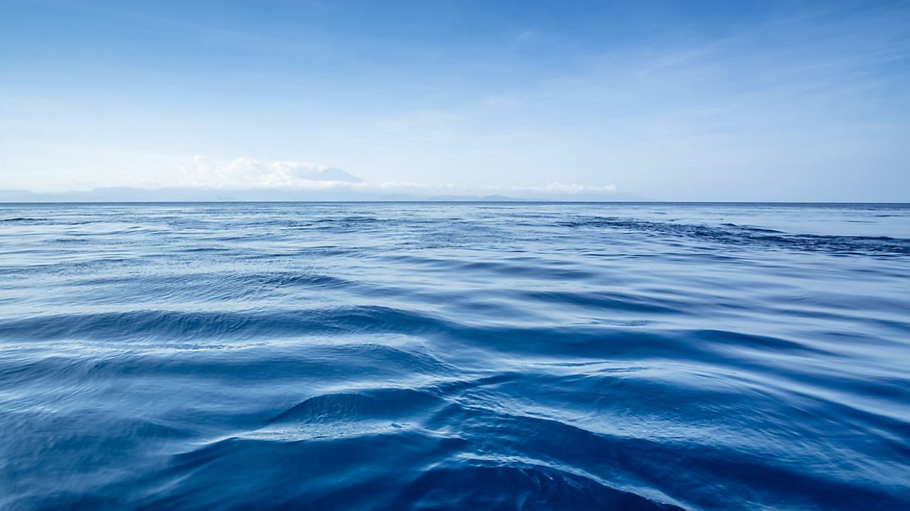
During La Niña, sea surface temperatures are below-average in the east-central Equatorial Pacific.
This happens when the trade winds blow east to west, causing the warmer waters of the surface of the ocean to move from South America to Indonesia. The cold waters from deeper parts of the ocean then rise to the surface where the warm water has moved out.
This can impact weather across the entire country.
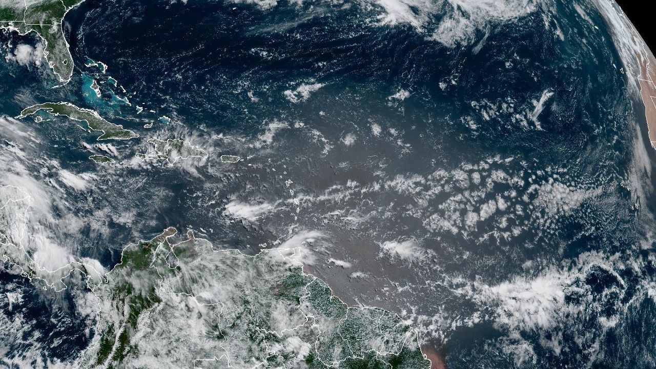
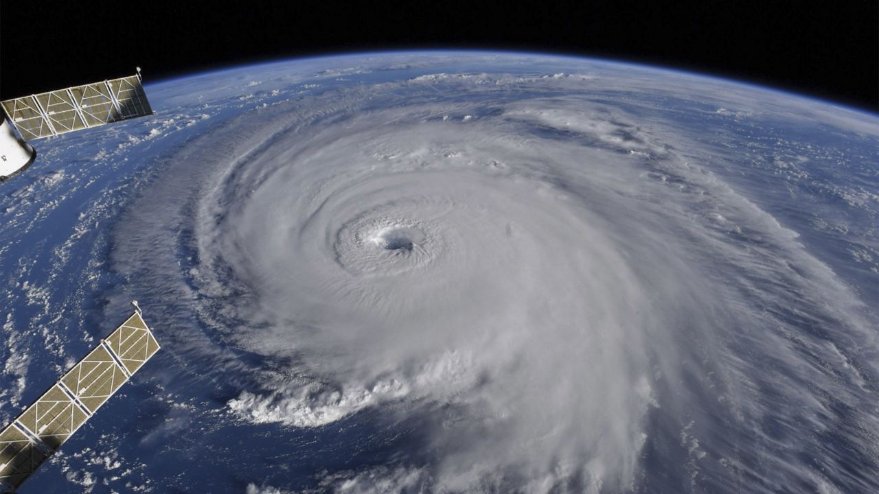
During La Niña, wind shear, the change of wind speed and/or direction with height, is weakened over the Atlantic and the Caribbean Sea.
Wind shear is what helps break a cyclone apart, causing it to weaken. Without wind shear, storms are more likely to form and can become stronger.
Remember though, even with an increase in activity, this does not mean every cyclone will make landfall. Always be prepared and not scared.
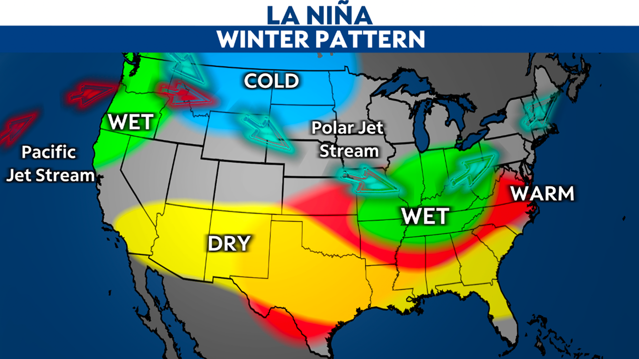
During La Niña, the Pacific jet stream will extend far north near Alaska and pass through the center of the country. This causes different patterns of weather for the end of fall and winter.
Alaska and the Pacific Northwest: The weather is generally cooler with above-average wet weather.
California to Carolinas: For the southern half of the U.S., we can expect warmer and drier-than-average weather.
Ohio and Upper Mississippi River Valley: Expect above-average wet weather.
Midwest and High Plains: Colder-than-average temperatures will be common.
Our team of meteorologists dives deep into the science of weather and breaks down timely weather data and information. To view more weather and climate stories, check out our weather blogs section.


