

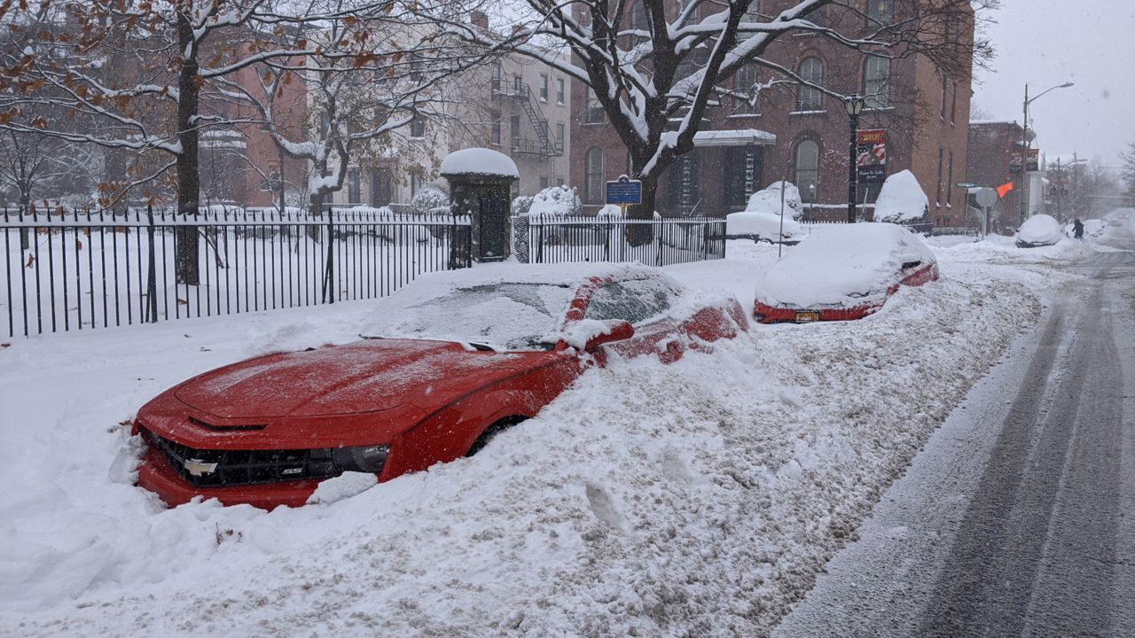
While we are technically in the fall season, wintry weather has already made its mark in eastern New York and western New England. After a few storms — lasting less than 24 hours and dropping light to moderate snowfall — this week's storm was not only a marathon but, outside of a lake effect snow event, was the longest storm I've covered in my almost 13-year career.
While it actually began snowing Sunday, I'll always remember this storm as the Cyber Monday storm. Not only did it snow all day Sunday and Monday, it snowed into the wee hours of Tuesday morning! In fact, it snowed for almost 40 hours straight in Albany and because of that, the history books were re-written this week.
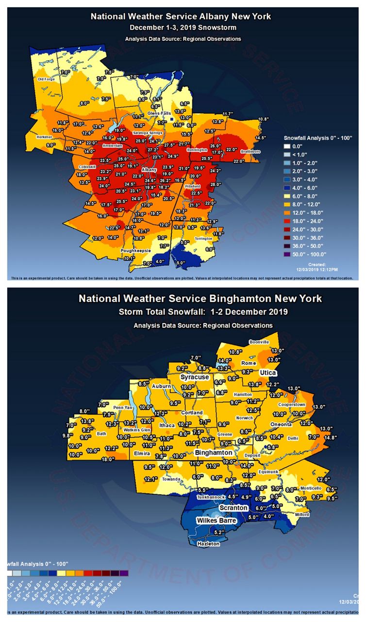
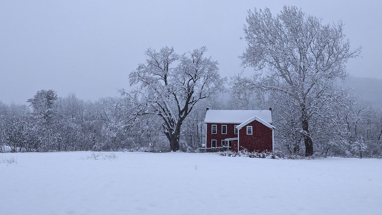
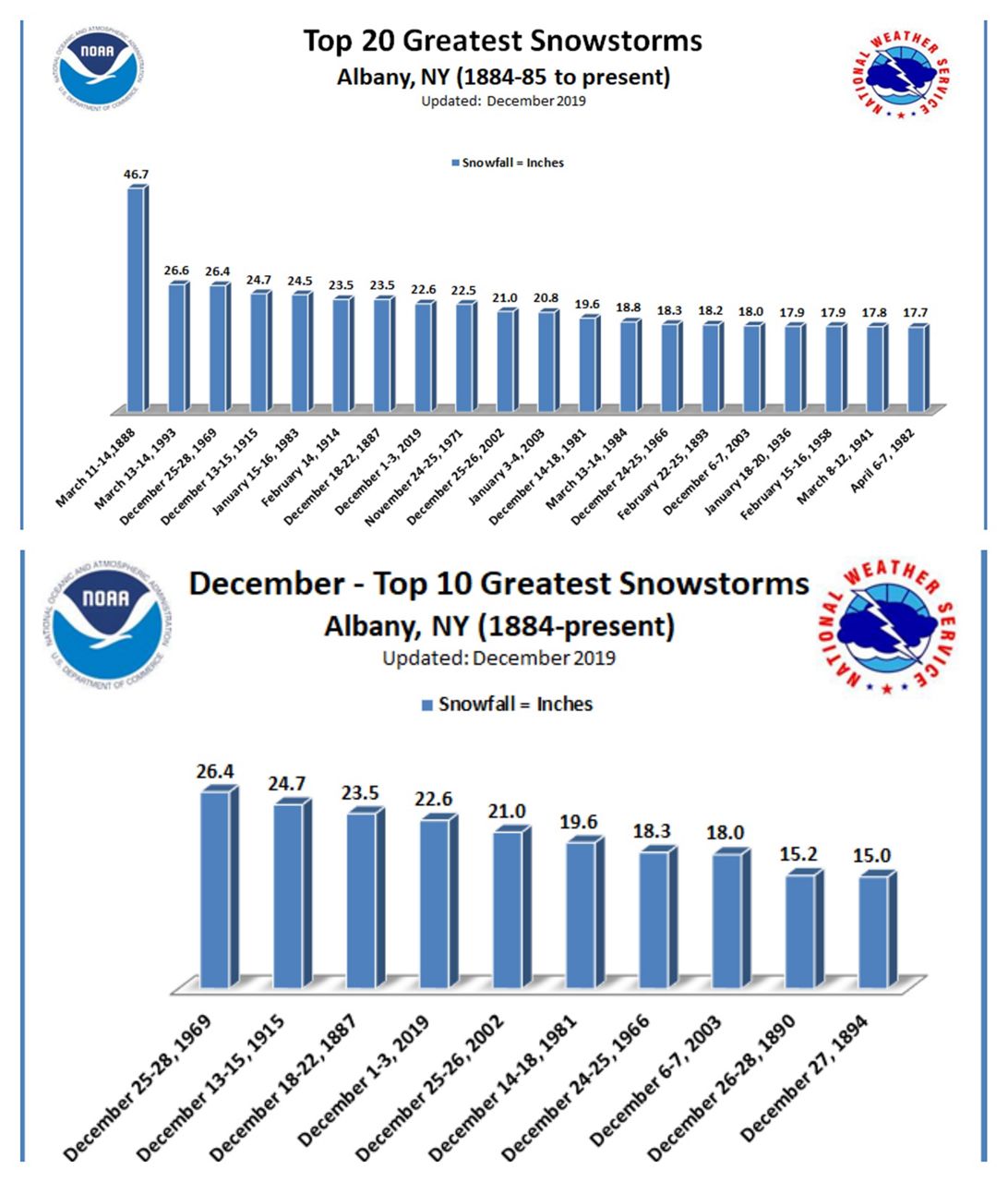
While the highest reported total was from Peru, MA (28 inches), there were many spots around the Capital Region, Mohawk Valley, Helderbergs, Catskills, and Greens that saw over 20 inches of snow. 22.6 inches fell at Albany International — which was good enough for the fourth largest December snowfall of all time, and eighth largest snowfall for any month.
While this storm dropped a TON of snow, closed schools and business for 2 days, and sent several counties into a state of emergency, from a meteorological standpoint it actually wasn't very special. This was no "Bomb Cyclone", there was no thundersnow, we never saw blizzard conditions, it was just very slow moving and it snowed consistently for a very long time.

The snowiest December on record was back in 1969 when we received 57.5 inches. We've got a nice head start this month and we have more snow on the way Friday!

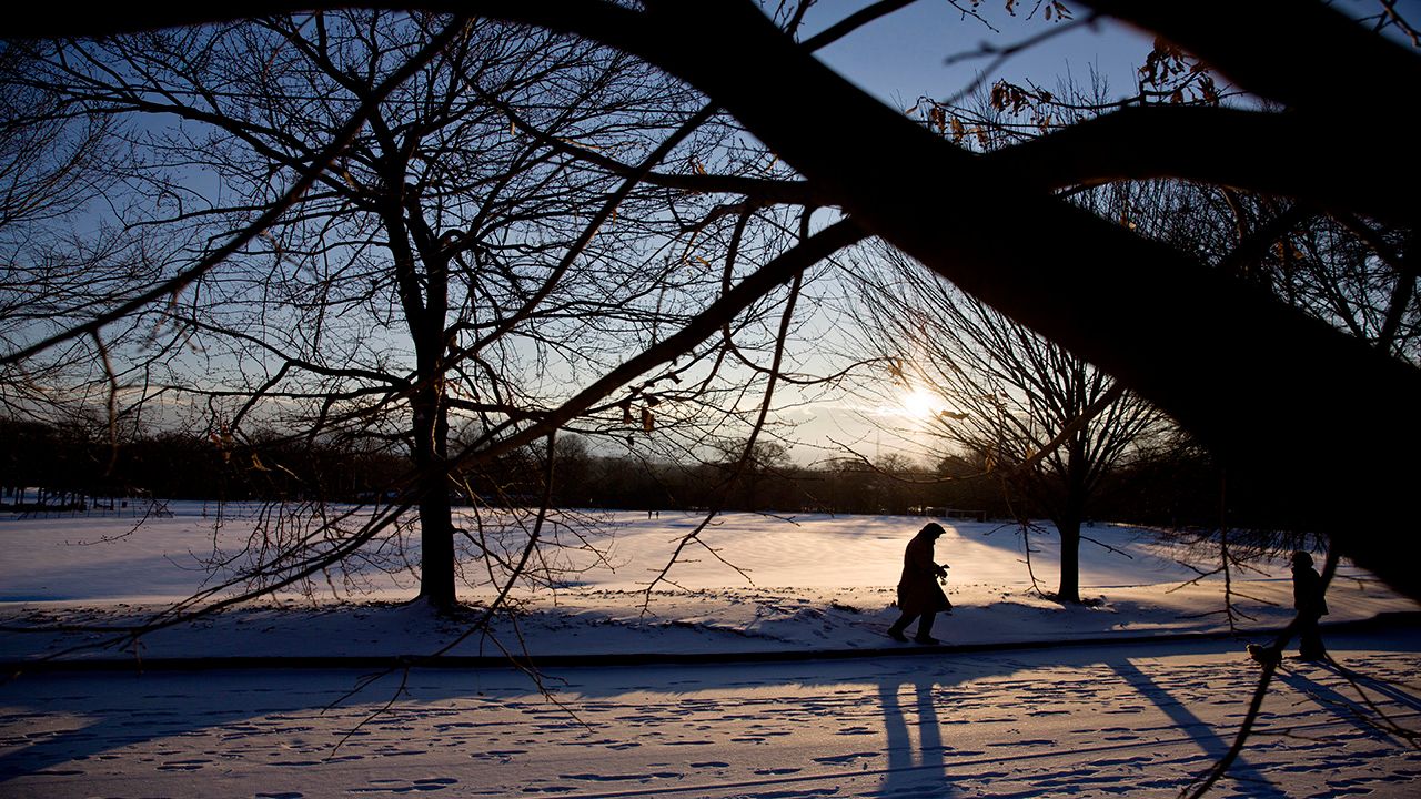
While it's still technically falling for 15 more days, like Sansa Stark said to Jon Snow in the season six finale of Game of Thrones, "winter is here." ☃️