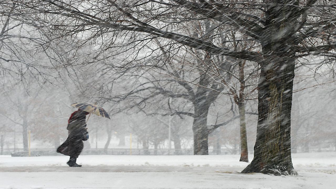


Our Spectrum News 1 Weather Experts have broken down, by county, what to watch for as another lake-effect snow event impacts the region over the weekend. For the latest forecast updates, you can check here.
Lake-Effect Snow Warning (remains in effect for southern Erie until 1:00 p.m. on Monday)
The heaviest snow band will stream in south of Buffalo through tonight.
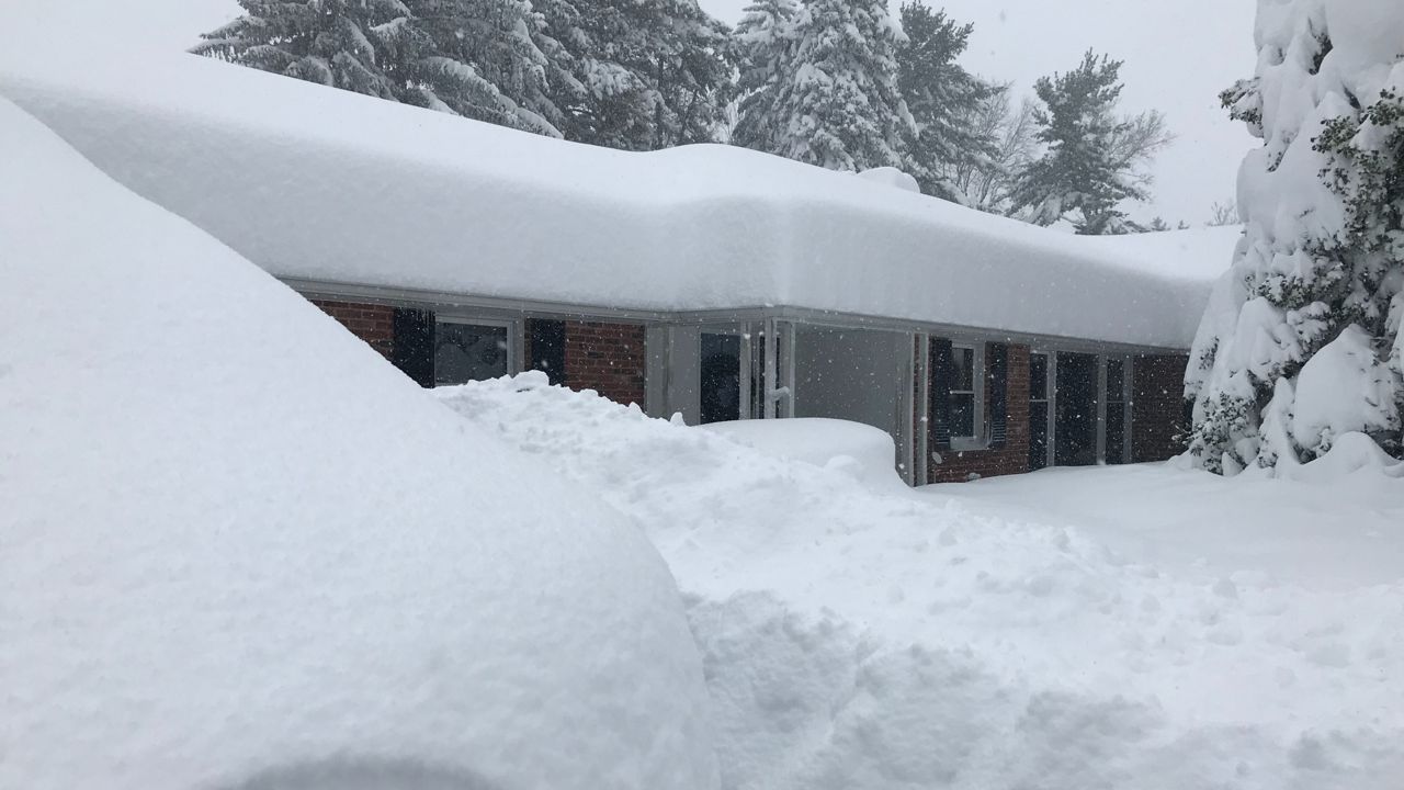
Additional snowfall: Coating to 2 inches at best in the north, with higher totals reaching between 6 to 12 inches in the south
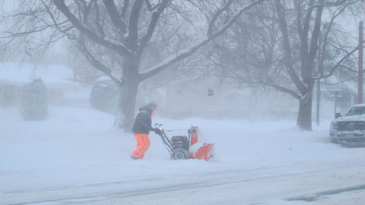
Heavy snowfall will make for hazardous travel conditions, including snow-covered roads and poor visibility at times.
No active weather alerts.
A few snow showers or flurries are possible through tonight.
Additional snowfall: Less than an inch
No active weather alerts.
Snow showers are possible through Monday.
Additional snowfall: Coating to 3 inches
Lake-Effect Snow Warning (remains in effect until 1:00 p.m. on Monday)
Main impact: Through Monday
Additional snowfall: 2 to 4 inches
Wind gusts: Up to 35 mph
Heavy snowfall will make for hazardous travel conditions, including deep snow-covered roads and poor visibility at times.
Lake-Effect Snow Warning (remains in effect until 1:00 p.m. on Monday)
Main impact: Through Monday
Additional snowfall: 2 to 4 inches
Wind gusts: Up to 35 mph
Heavy snowfall will make for hazardous travel conditions, including deep snow-covered roads and poor visibility at times.
No active weather alerts.
Scattered snow showers, or flurries, are possible tonight through Monday night.
Additional snowfall: Coating to 3 inches
No active weather alerts.
Scattered snow showers, or flurries, are possible tonight through Monday night.
Additional snowfall: Coating to 3 inches
Lake-Effect Snow Warning (remains in effect until 1:00 p.m. on Monday)
Main impact: Through Monday
Additional snowfall: 2 to 4 inches
Wind gusts: Up to 35 mph
Heavy snowfall will make for hazardous travel conditions, including deep snow-covered roads and poor visibility at times.