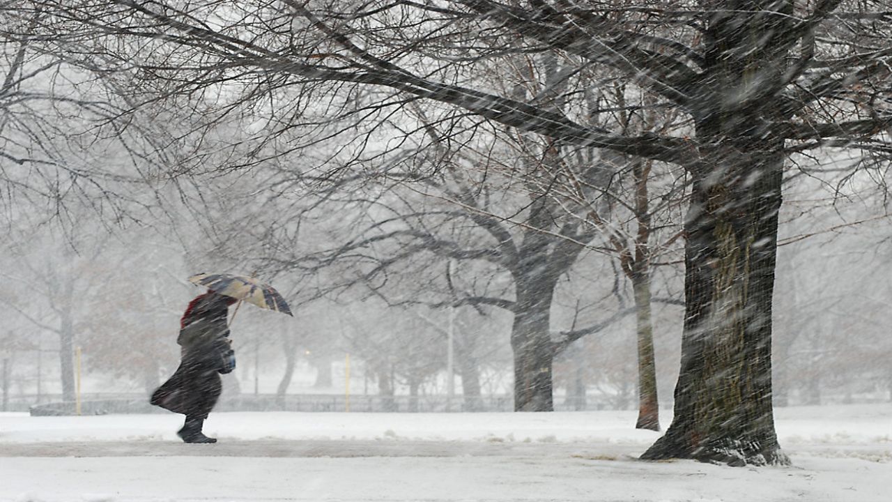
Our Spectrum News 1 Weather Experts have broken down, by county, what to watch as New York state braces for the first significant lake-effect snow event of the season. Heavy snow bands combined with gusty winds will make for treacherous travel for some communities through Wednesday morning.
For the latest forecast updates, you can check here.
North: Winter Weather Advisory (in effect until 11 a.m. Wednesday)
South: Lake-Effect Snow Warning (in effect until 7 a.m. Wednesday)
Main impact: Through early Wednesday
Additional accumulations in northern Erie: Coating to 2 inches by Wednesday morning.
Additional accumulations in southern Erie: 2 to 6 inches by Wednesday morning.
Wind gusts: Up to 35 mph
With the wind, watch for areas of blowing and drifting, especially on the north south roadways.
Lake-Effect Snow Warning (in effect until 7 a.m. Wednesday)
Main impact: Through Wednesday morning
The snow will be more localized on Tuesday. A narrow feeder band from Lake Superior and Lake Huron will be coming across Lake Erie. Within the most intense bands, an additional 4 to 7 inches will occur, with locally higher amounts.
Wind gusts: Up to 35 mph
Heavy snow falling between 1 to 2 inches per hour combined with gusty winds will make for hazardous travel conditions, including snow-covered roads and poor visibility at times.
Lake-Effect Snow Warning (in effect until 7 a.m. Wednesday)
Main impact: Through Wednesday morning
Similar to Cattaraugus County with a west wind shifting northwest, that lake snow will have a lot more variability. An additional 4 to 7 inches possible, with locally higher amounts in the most persistent squalls.
Wind gusts: Up to 35 mph
Heavy snow falling between 1 to 2 inches per hour combined with gusty winds will make for hazardous travel conditions, including snow-covered roads and poor visibility at times.
Lake-Effect Snow Warning (in effect until 7 a.m. Wednesday)
Main impact: Through Wednesday morning
Additional accumulations: 3 to 6 inches, with locally higher amounts
Wind gusts: Up to 35 mph
Heavy snow combined with gusty winds will make for hazardous travel conditions, including snow-covered roads and poor visibility at times.
Winter Weather Advisory (in effect until 7 a.m. Wednesday)
Main impact: Through Wednesday morning
Additional accumulations: 2 to 5 inches, with locally higher amounts
Wind gusts: Up to 35 mph
Heavy snow combined with gusty winds will make for hazardous travel conditions, including snow-covered roads and poor visibility at times.
Winter Weather Advisory (in effect until 7 a.m. Wednesday)
Main impact: Through Wednesday morning
Additional accumulation: 2 to 5 inches
Wind gusts: Up to 35 mph
Most of the lake-effect snow will be found north of Route 441 on the west side and north of the Thruway on the east side. Southern Wayne County will see much less snow. Be prepared for rapidly changing travel conditions in snow and blowing snow. By Wednesday morning, the band will have lifted out over Lake Ontario.
North: Lake-Effect Snow Warning (in effect until 7 a.m. Wednesday)
South: Winter Weather Advisory (in effect until 1 a.m. Wednesday)
Main impact: Through Wednesday morning
Additional accumulation (north): 3 to 6 inches
Additional accumulation (south): 1 to 2 inches (heaviest north of Auburn)
Wind gusts: Up to 35 mph
Extensive blowing and drifting, with heavy snow at times. The heaviest amounts will be over the northern half of the county. Be prepared for white-out conditions at times.
Winter Weather Advisory (in effect until 12 p.m. Wednesday)
Main impact: Through Wednesday morning
Additional accumulations: Coating to 2 inches
Wind gusts: Up to 35 mph
Heavy lake band is now well south, but late Tuesday night into Wednesday morning, it will work north to Watertown. Expect a coating to a couple inches.
Lake-Effect Snow Warning (in effect until 7 a.m. Wednesday)
Main impact: Through Wednesday morning
Additional accumulations: 1 to 3 inches
Wind gusts: Up to 35 mph
With the band to our south on Tuesday, there will be little additional accumulation. Expect a quick 1 to 3 Tuesday night as the band migrates towards Watertown Wednesday morning.
Lake-Effect Snow Warning (in effect until 7 a.m. Wednesday)
Main impact: Through Wednesday morning
Additional accumulation: 4 to 8 inches
Wind gusts: Up to 35 mph
Heavy snow falling between 1 to 2 inches per hour combined with gusty winds will make for hazardous travel conditions, including snow-covered roads and poor visibility at times.
North: Lake-Effect Snow Warning (in effect until 7 a.m. Wednesday)
South: Winter Weather Advisory (in effect until 7 a.m. Wednesday)
Main impact: Through Wednesday morning
Additional accumulation: 3 to 6 inches, with locally higher amounts possible
Wind gusts: Up to 35 mph
Heavy snow falling between 1 to 2 inches per hour combined with gusty winds will make for hazardous travel conditions, including snow-covered roads and poor visibility at times.
Lake-Effect Snow Warning (in effect until 7 a.m. Wednesday)
Main impact: Through Wednesday morning
Snowfall totals: 3 to 6 inches
Wind gusts: Up to 35 mph
Heavy snow falling between 1 to 2 inches per hour combined with gusty winds will make for hazardous travel conditions, including snow-covered roads and poor visibility at times.
North: Lake-Effect Snow Warning (in effect until 12 a.m. Wednesday)
South: Winter Weather Advisory (in effect until 7 a.m. Wednesday)
Main impact: Through Wednesday morning
Additional accumulation (north): 3 to 6 inches
Snowfall totals (south): 1 to 4 inches
Wind gusts: Up to 35 mph
Heavy snow falling combined with gusty winds will make for hazardous travel conditions, including snow-covered roads and poor visibility at times.
Lake-Effect Snow Warning (in effect until 12 a.m. Wednesday)
Main impact: Through Wednesday morning
Additional accumulation: 1 to 4 inches
Wind gusts: Up to 35 mph
Heavy snow falling combined with gusty winds will make for hazardous travel conditions, including snow-covered roads and poor visibility at times.
Our team of meteorologists dives deep into the science of weather and breaks down timely weather data and information. To view more weather and climate stories, check out our weather blogs section.


