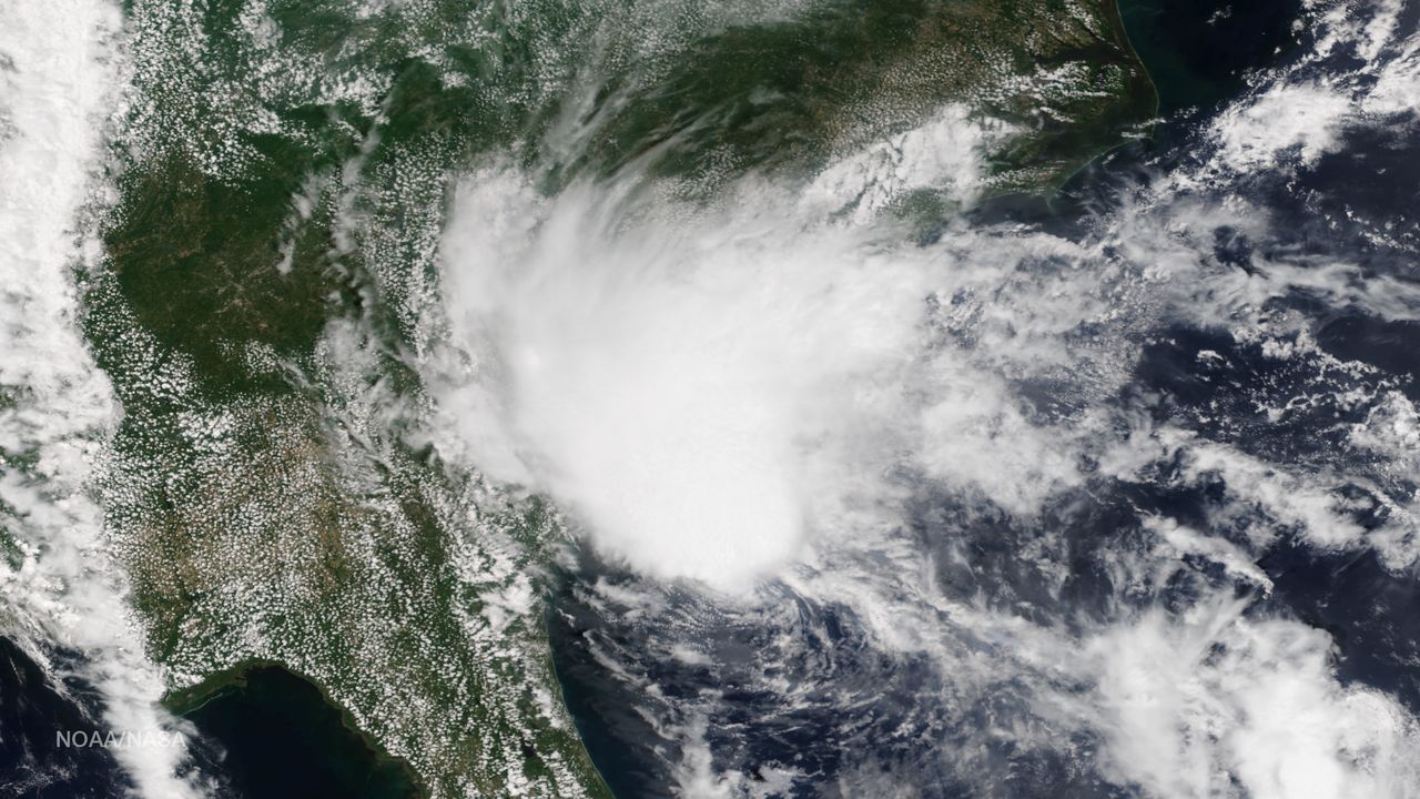
Our wet weather pattern this week is thanks to a stalled weather pattern over the region called a "cut-off low”.
A cut-off low usually begins as a trough in the upper air flow, which becomes a closed circulation and then extends down to the surface. This pattern is also known as a closed low.
Typically weather features move in the atmosphere freely with the help of the jet stream, but when a low pressure system is separated or "cut off" from the jet stream, it can meander over an area for days.
A cut-off low will persist until the system breaks up or the upper flow pattern finally changes so that the low pressure can move out. As we have seen, a cut-off low can cause the weather to repeat day after day.
In our case, North Carolina was on the east side of this cut off low, that results in a southerly flow of warm moist air that will over run cooler air at the surface advecting in from the north. The result is cloudy, cool, and rainy weather.
So, when will it end? We should see the upper level low begin to move north on Friday, this will result in rain coverage diminishing as well as a decrease in intensity.


