


We're in for nice weather for the rest of this week!
With plenty of sun, this afternoon's temperatures should top out in the mid-70s in much of central North Carolina.
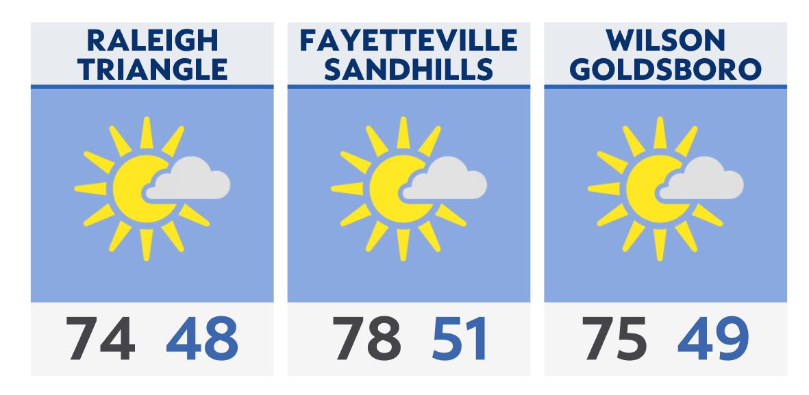
Dry weather will continue for tomorrow with highs just a bit cooler than today.
A warming trend is expected to begin this weekend.
Check radar and the latest 7-day forecast | Share your weather photos