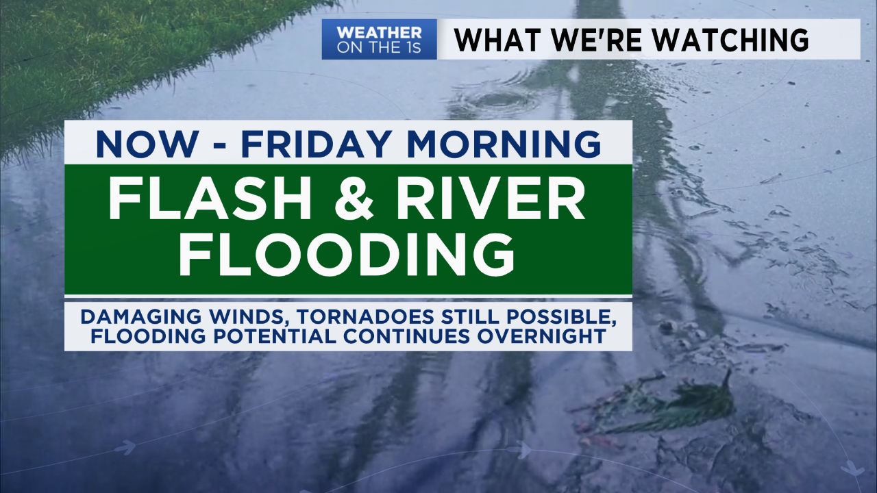
A cold front will sweep across the state overnight bringing an end to our stormy weather. Until then, rainfall will continue to be widespread with embedded strong to severe storms tracking northeast. Damaging wind gusts along with isolated tornadoes will remain possible.
- Interactive Radar
- 7-Day Forecast
- Connect with Meteorologist Vernon Turner on Facebook
- Follow Meteorologist Vernon Turner on Twitter
But our severe weather threat will gradually turn more into a flooding threat as we move through the night. As rain continues to fall and temperatures drop, the instability in our atmosphere will stabilize. The stabilization will limit the threat of severe weather, but the rain drops will continue to fall. With ongoing, consistent rain the water simply will have no place to go and that will lead to some flooded areas and waterways. So the tornado watch will continue until 1 a.m. Friday mainly for areas east of I-95. While many current flash flood warnings will expire tonight, a flood watch will continue for much of the state until 1 a.m. Friday.
We're looking toward a brighter and drier forecast tomorrow, but there will still be some issues. Winds will remain gusty at times as today's system moves farther northeast away from the state. Some gusts may reach as high as 40 mph and that could lead to more downed trees and power lines when you take into account our wet grounds. So enjoy the sunshine tomorrow, but be aware of your surroundings and hang on to your hat as we move through a breezy day.
A weak system will provide a low rain chance late Saturday night into Sunday morning. Temperatures will be seasonably cool in the low 50s Saturday before warming up to a mild high near 60 Sunday.


