


After making landfall in South Carolina as a Category 1 hurricane on Friday, Ian has turned into a post-tropical cyclone. Although it will continue to weaken as it moves north, Ian will still bring some additional rainfall, gusty winds and the potential for coastal flooding today.
Ian made its fourth and final landfall near Georgetown, South Carolina, on Friday as a Category 1 hurricane, with maximum sustained winds of 85 mph.
Once it moved over land, it quickly weakened and became a post-tropical cyclone. Ian will continue to weaken as it heads north today, but will still bring some additional showers and gusty winds today before dissipating over south-central Virginia by tonight.

In addition, coastal flooding and rough surf remain a concern, particularly along the northern and central coasts.
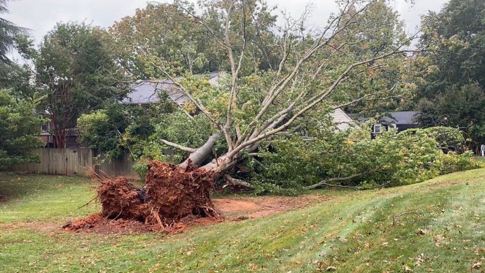
As the storm heads north, wind gusts could still reach 35 mph in North Carolina, with a few stronger gusts possible.
Today is not looking nearly as wet as Friday. In fact, only parts of the state will see times of rain during the day. Although scattered showers will be in the forecast through Monday.
While a few embedded thunderstorms can't entirely be ruled out near the coast, the overall threat for severe weather is low. With that, stay tuned to Spectrum News 1 and the Spectrum News app for updates.