A cold front quickly marched across the state today producing showers that impacted much of our morning and afternoon. Cool, dry air is now flowing into the state behind that front. Expect cool and dry conditions tonight as lows dip into the low to mid 30s. This will carry over to Wednesday morning, so you'll need your coat on before you step outside.
- Interactive Radar
- 7-Day Forecast
- Connect with Meteorologist Vernon Turner on Facebook
- Follow Meteorologist Vernon Turner on Twitter
With a dry air mass over the state, temperatures will warm efficiently through a sunny day. Highs will likely reach into the low to mid 50s for many. That's slightly above normal for this time of year. A second cold front will move into the area late Wednesday, providing a reinforcing shot of cool air. This second front will be moisture starved so no rain is expected. Behind this second front, highs Thursday will be closer to normal in the upper 40s to low 50s.
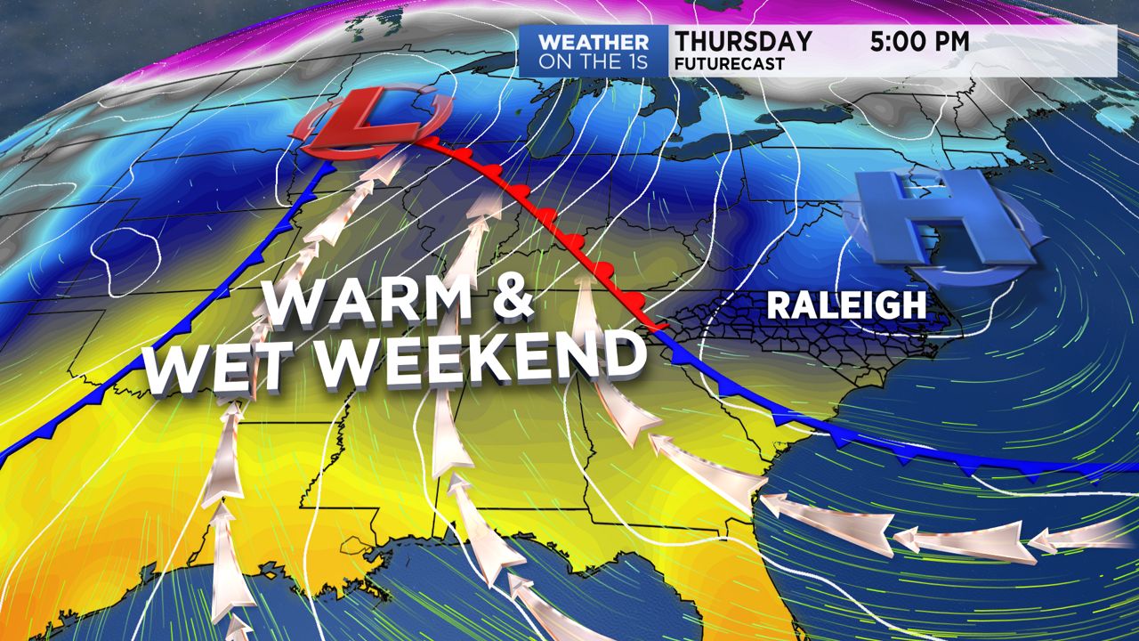
During these couple of days of tranquil weather, we'll be watching an impressive storm system to our west. This system will bring the threat of severe weather to the Deep South Thursday and Friday. It will also bring wintry weather concerns for the Middle and Upper Mississippi Valley, Great Lakes, and Ohio Valley during the same time frame.
This system's leading warm front will lift through the state Friday leading to highs in the upper 60s on Friday and the low 70s on Saturday and Sunday. We'll be warm and wet through the weekend as showers will be likely. Severe weather at this time is not a concern, but we'll continue to analyze the data. If anything changes, we will adjust the forecast accordingly.


