


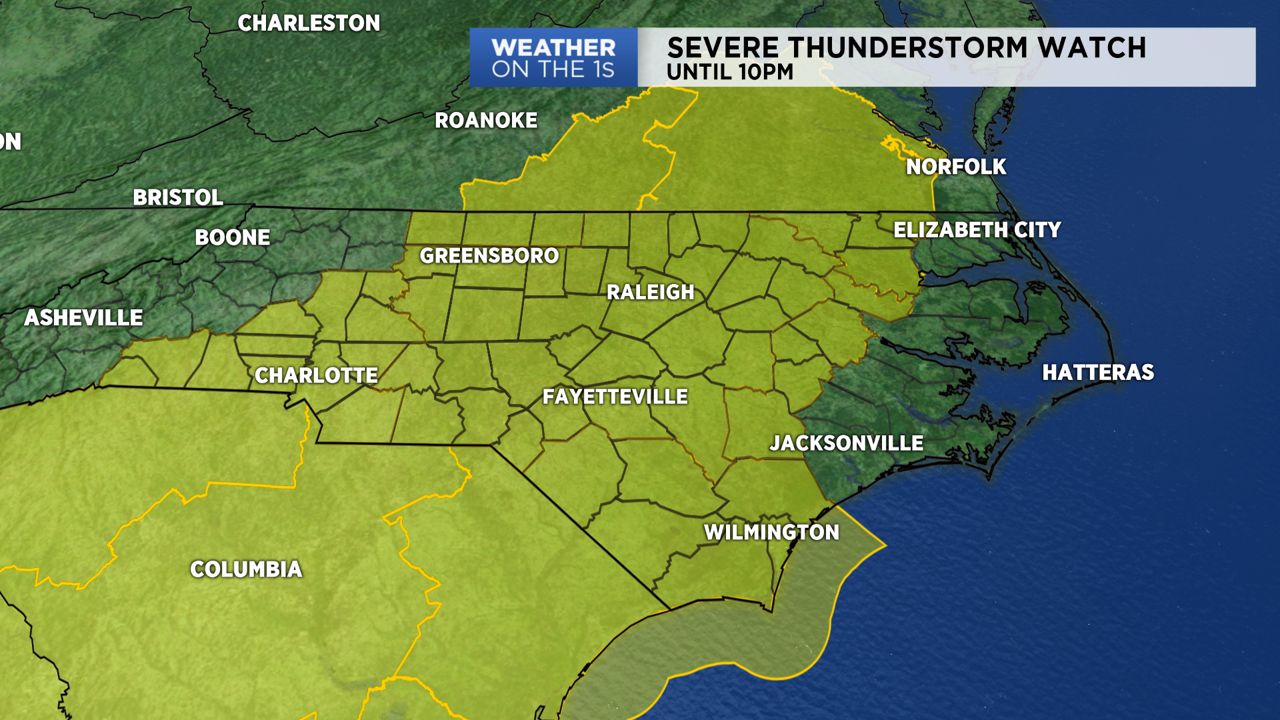
A Severe Thunderstorm Watch is in effect for much of North Carolina until 10 Thursday night. The watch includes major cities like Charlotte, Fayetteville, Greensboro, Raleigh and Wilmington. Hot and humid conditions have created a favorable environment for thunderstorms across the state.
- 7-Day Forecast
- Interactive Radar
- Connect with Meteorologist Vernon Turner on Facebook
- Follow Meteorologist Vernon Turner on Twitter
TIMING
These storms are supported by a cold front that is in the process of sweeping acorss the eastern half of the country. We'll keep rain/storm chances high until midnight. Storms will end west to east gradually as we move deeper into the night. By sunrise Friday morning, we'll be behind the front with much brighter, calmer conditions.
POTENTIAL HAZARDS
Thunderstorms will have the possibility of producing strong to damaging wind gusts, localized downpours and hail. We cannot rule out the threat of an isolated tornado. Thankfully the chance of it is low, but it is non-zero so be ready to take action if necessary. Know where to go if a tornado warning is issued for your area. Remember you want to be in the lowest floor of your home, away from windows.
Power outages will be possible so make sure you have multiple ways to receive weather updates. Remember the Spectrum News App is a FREE way to stay connected no matter where you are. You can stream our LIVE severe weather coverage and have acess to radar and weather alerts. Now would also be another good time to double check the batteries in your NOAA Weather Radio if you have one.


