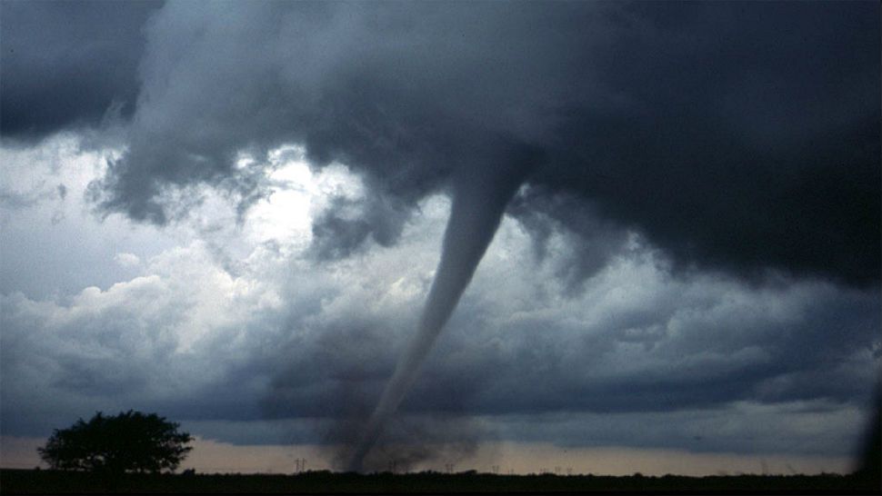
Breezy, warm conditions this afternoon will make way for a potentially severe evening as a powerful storm system makes it way across the east coast. Due to the possibility of rotating thunderstorms, a Tornado Watch was issued for much of central and western North Carolina until 8 tonight. The watch includes major cities like Raleigh, Durham, Fayetteville, Greensboro and Charlotte. Will remain under a low-end, SLIGHT RISK for severe storms for the remainder of the day and night.
Two waves of storms will look to move across the state. The first moving through the latest afternoon and evening, the second overnight as a the system's trailing cold front sweeps across the state. Thanks to our warm and and moist conditions, any storm that develops will have the capabilities to produce localized downpours, gusty winds, and hail. There have been several storms showing signs of rotation, so now would be a good time to review your tornado safety plan with your family.
TORNADO SAFTEY
When a Tornado Watch is issued that means conditions area favorable for rotating thunderstorms. When a Tornado Warning is issued, that means a tornado is either on the ground or imminent. When a Tornado Warning is issued you need to take the appropriate action quickly. If you live in a mobile home, there's still some time to find a sturdier structure to wait out our stormy weather.
When seeking shelter during a Tornado Warning, you want to go to the lowest floor of the building, away from windows. A bathroom or closet are great options. There, hunker down for safety as the threat passes. In your tornado safety area, it would be a good idea to have supplies stored there just in case. Good supplies to have would be bottled water, non-perishable food, a NOAA Weather Radio, any needed medicines, a first aid kit, and copies of your insurance information.


