We were dry and warm through much of our Monday, but now rain has moved in to our area. An area of low pressure and its trailing cold front will track across the state west to east tonight. During this time we'll deal with scattered to numerous showers and a few thunderstorms. Severe weather is not a concern, but some heavy pockets of rain and gusty winds are possible.
Shower activity will carry over into early Tuesday morning, mainly for central and eastern North Carolina. The hot topic for Tuesday will be on how cold temperatures get behind all the rain. Rain will taper off before mid-morning and clouds will clear out by midday. As the sun comes back through the afternoon temperatures will remain chilly.
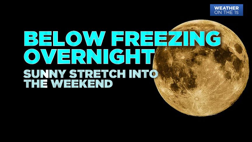
Strong northerly winds behind Monday's storm system will ensure a below average, chilly day with highs in the mid-50s at best. Skies will remain clear Tuesday night allowing temperatures to plummet below freezing into the upper 20s to low 30s.
High pressure will settle into the region Wednesday and stick around long enough to ensure a dry and sunny stretch through Saturday. During this fair stretch of weather, temperatures will gradually warm each day. We'll be back into the 60s by Thursday and the 70s by Friday.
Looking down the road at our weekend forecast. Saturday is looking dry and warm. Highs will be in the 70s for many as we enjoy a good mix of sun and clouds. Sunday will be cloudy with a few late shower and storms as our next storm system arrives.