High pressure over New England is supplying cold air at the surface, a developing low pressure system is moving east over northern Florida is supplying ample moisture; all the ingredients for a major winter storm.
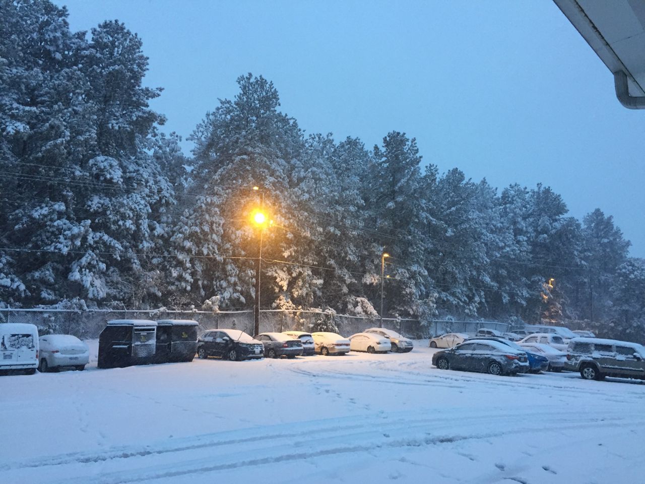
By daybreak we were seeing snowfall accumulations three to five inches across Wake County, six inches in Franklin County and approaching ten inches towards the Triad. Meanwhile across the Sandhills a cold rain has been falling.
To go along with the snow, ice accumulations are also possible as we see a transition from snow to sleet and possibly freezing rain in some areas. So be careful when walking near trees and power lines. Also bridges, overpasses and secondary roads are the most susceptible to accumulating ice. Road conditions will turn more hazardous into Monday morning. If you have to get on the road, take it slow and be sure to give plenty of space between you and any other cars on the road.
Winds will also be an issue with this storm system strengthens off the coast. Sunday into Sunday night we could see wind sustained winds of 20 to 25 mph and gust of 30 to 35 mph are possible.
So, with snow and ice weighing down tree limbs and power lines to go along with strong winds, power outages are expected. Make sure you have cell phones, laptops and any other electronic devices charged now before you power possible goes out.
Areas east of the I-95 corridor will likely receive very little wintry weather, but remain weather aware as this system is an efficient rain producer and may cause some flash flooding for poor drainage areas and homes near bodies of water.
Remain connected for future updates as we continue to monitor this storm and provide updates.