


After a period of very mild weather we are in for a cooler Saturday.
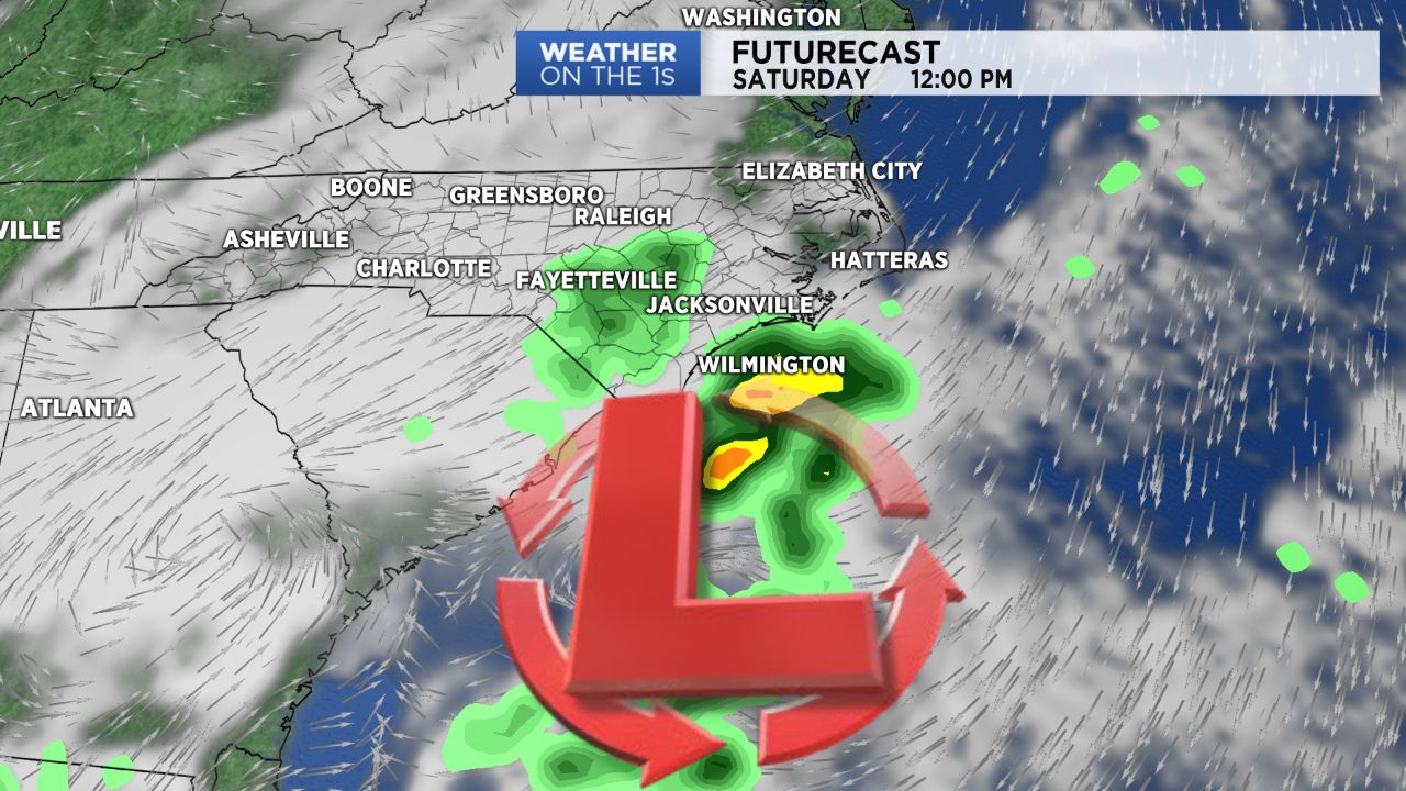
Clouds will thicken up overnight across central North Carolina and we'll see a lot more clouds and a 30 percent chance for spotty light showers through Saturday.
The clouds and the spotty rain will keep us cooler with highs only in the low and mid 50s by afternoon.
Sunday still looks good with decreasing clouds and highs in the low and mid 60s Sunday afternoon.
A warming trend will continue for the first couple days of next week. Highs in the upper 60s to near 70 are likely by Tuesday.
Our next chance for substantial rain will come Wednesday as a strong cold front moves through the state. Early model forecasts suggest around an inch to an inch-and-a half is possible with the front.
Much colder air will arrive behind the front late next week.
Highs on Thursday and Friday may only top out in the 40s.
Colder than average temperatures will likely continue through at least the middle of December.